Uphill
352m
Length
5km
Duration
2h30min
Elev gain
352m
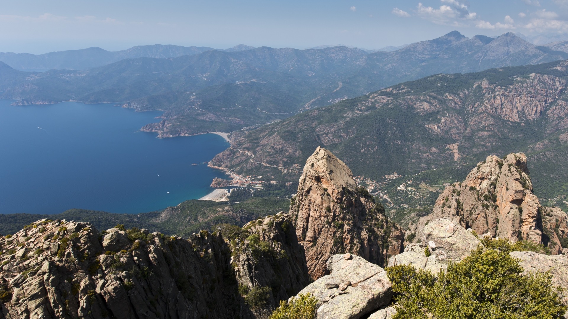
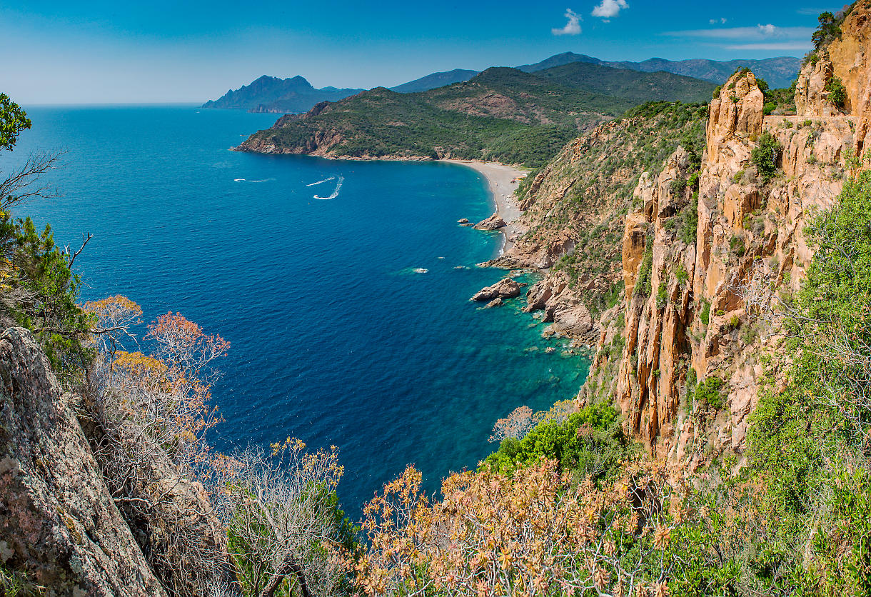
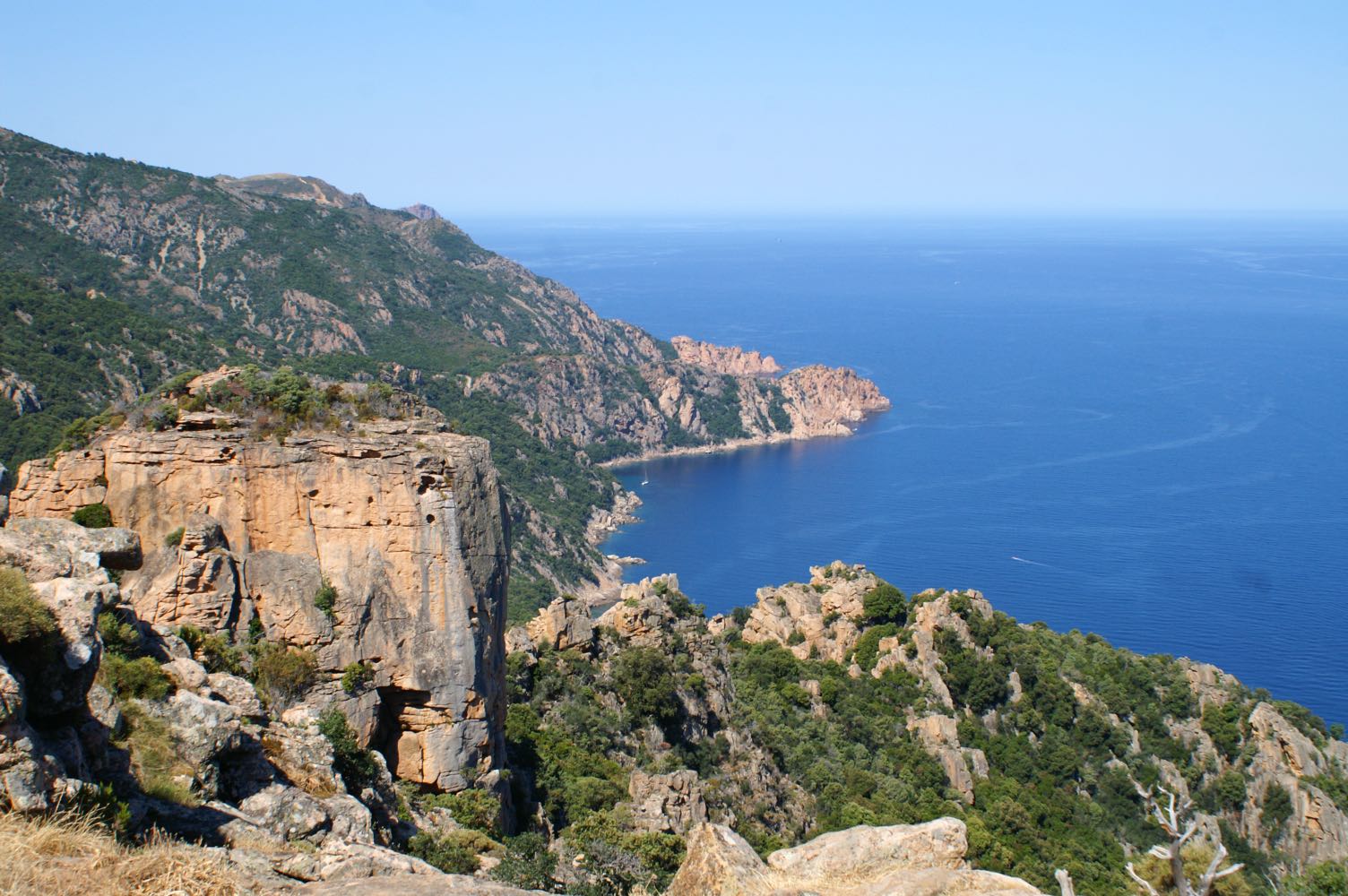
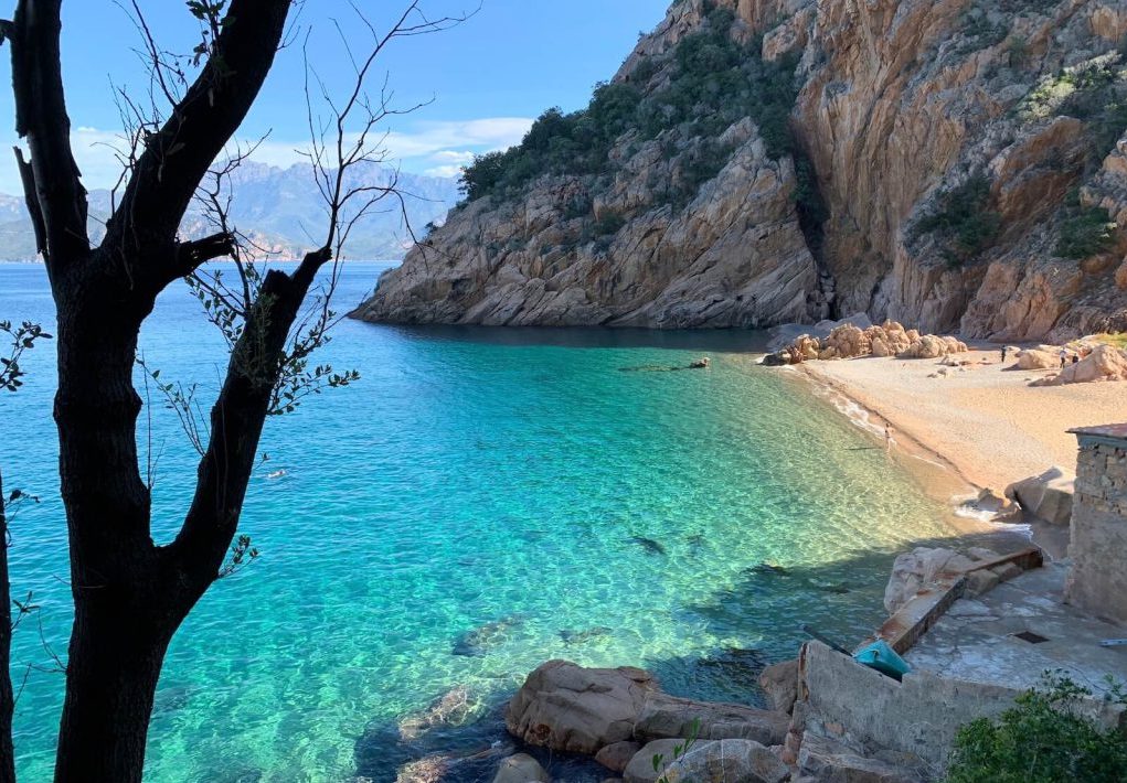
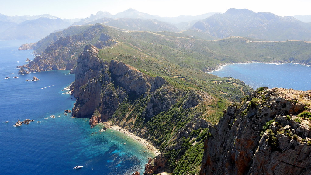
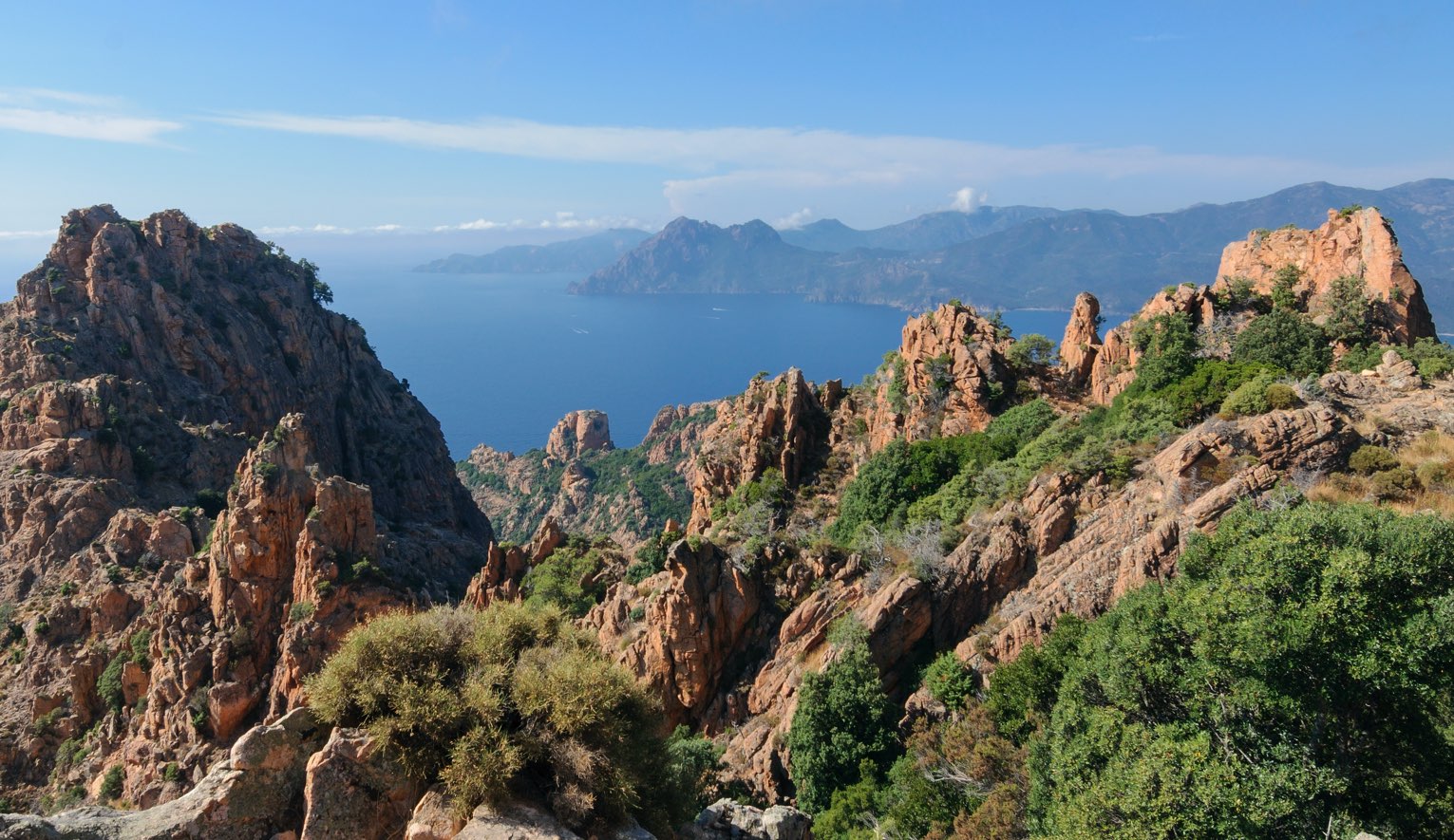
Short loop hike that allows you to discover the creeks of Piana, with many exceptional views.
It is possible to turn around at Roches Bleues if you wish to avoid walking on the road afterwards.

Already more than 200,000 users!
Uphill
352m
Highest point
714m
Downhill
352m
Lowest point
421m
Route type
Loop
Download the map on your smartphone to save battery and rest assured to always keep access to the route, even without signal.
Includes IGN France and Swisstopo.
I indicate whether dogs are allowed or prohibited on this trail
All year
5 ratings
Heureusement qu’il y avait les panneaux d’orientation de rando car le signalement gps de notre progression était faux en permanence et avec du réseau (je précise…)
Also enjoy:

Already more than 200,000 users!