Uphill
364m
Length
6km
Duration
2h30min
Elev gain
364m
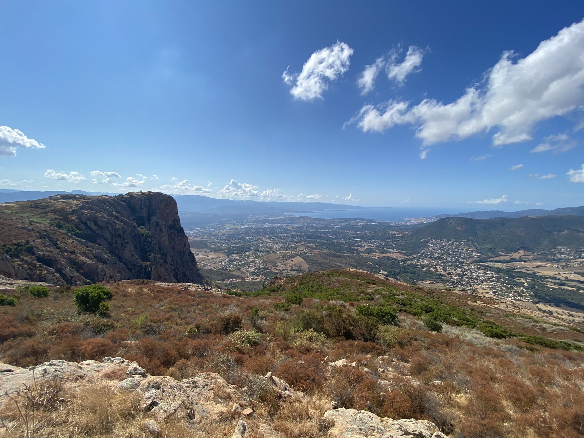
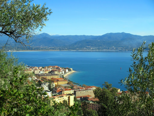
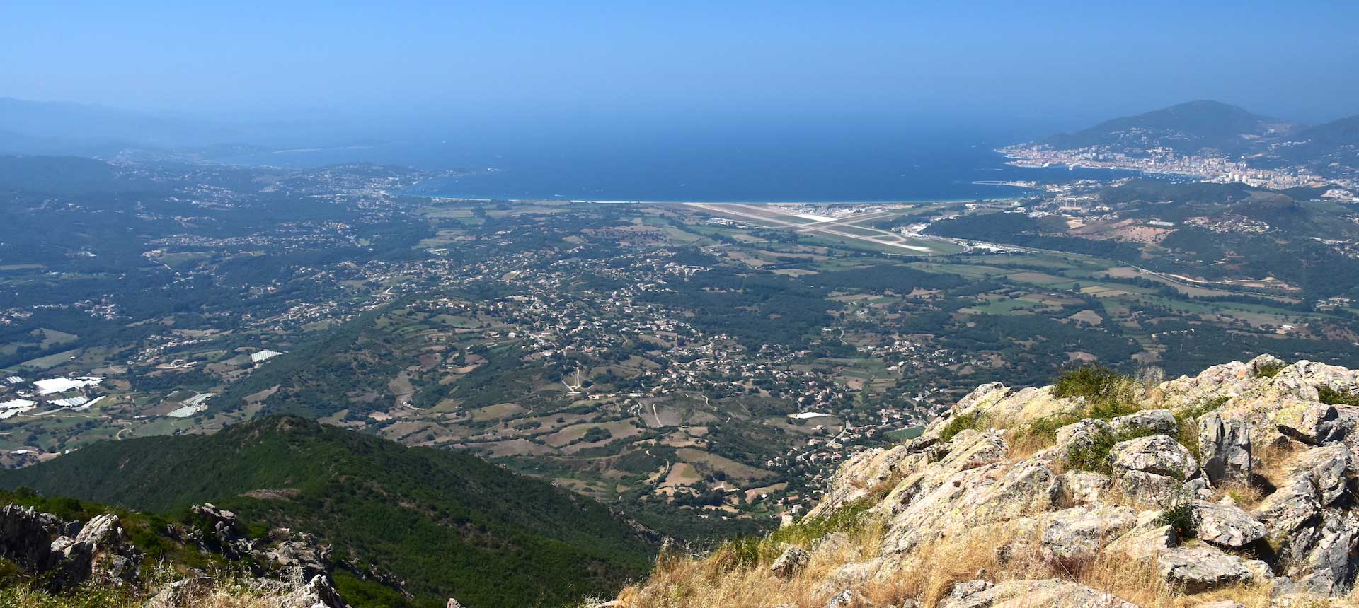
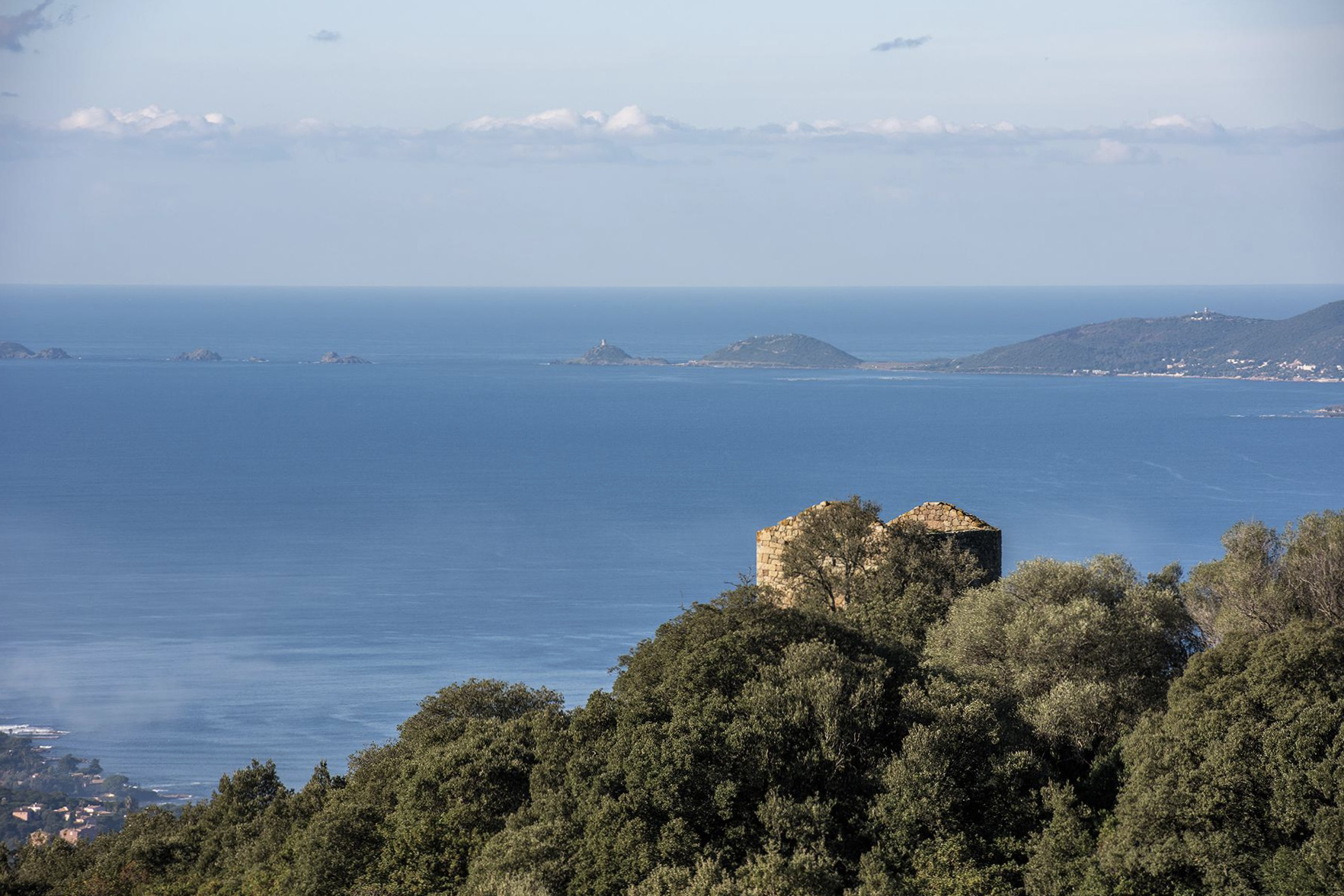
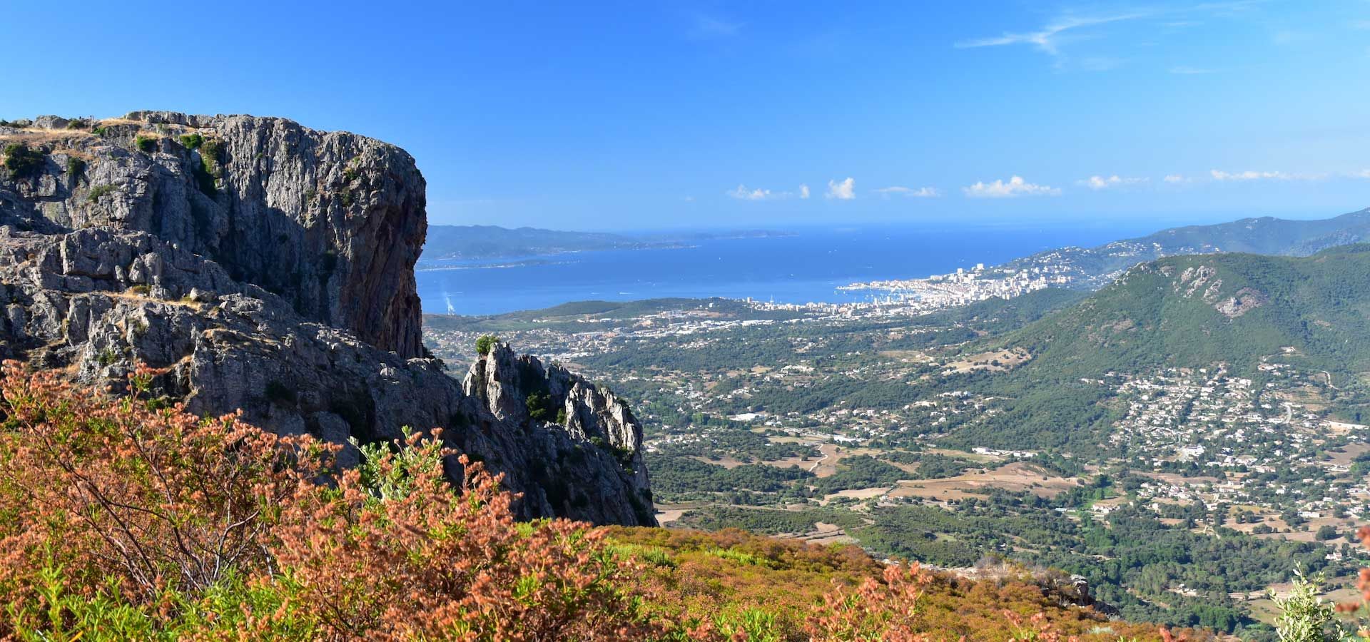
After a fairly steep first climb, access to the summit is via a relatively easy trail. Nice view on the gulfs of Ajaccio and Lava.

Already more than 200,000 users!
Uphill
364m
Highest point
691m
Downhill
364m
Lowest point
426m
Route type
There and back
Download the map on your smartphone to save battery and rest assured to always keep access to the route, even without signal.
Includes IGN France and Swisstopo.
I indicate whether dogs are allowed or prohibited on this trail
All year
1 rating
Also enjoy:

Already more than 200,000 users!