Uphill
543m
Length
9km
Duration
4h
Elev gain
543m
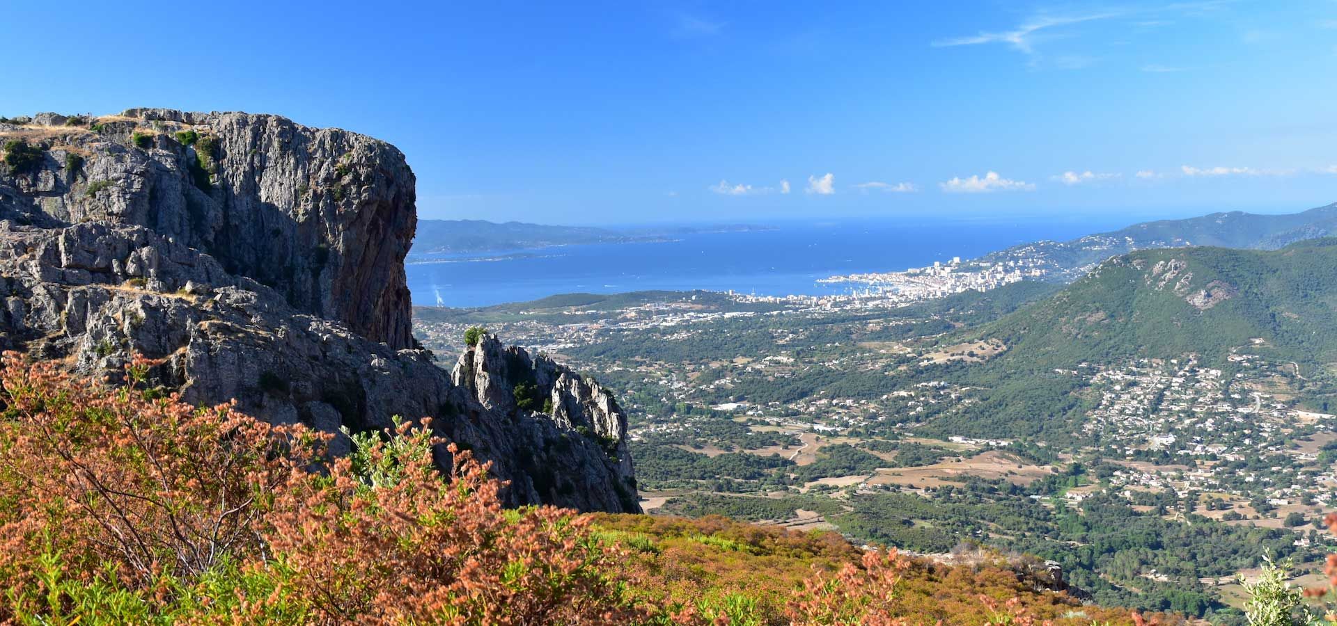
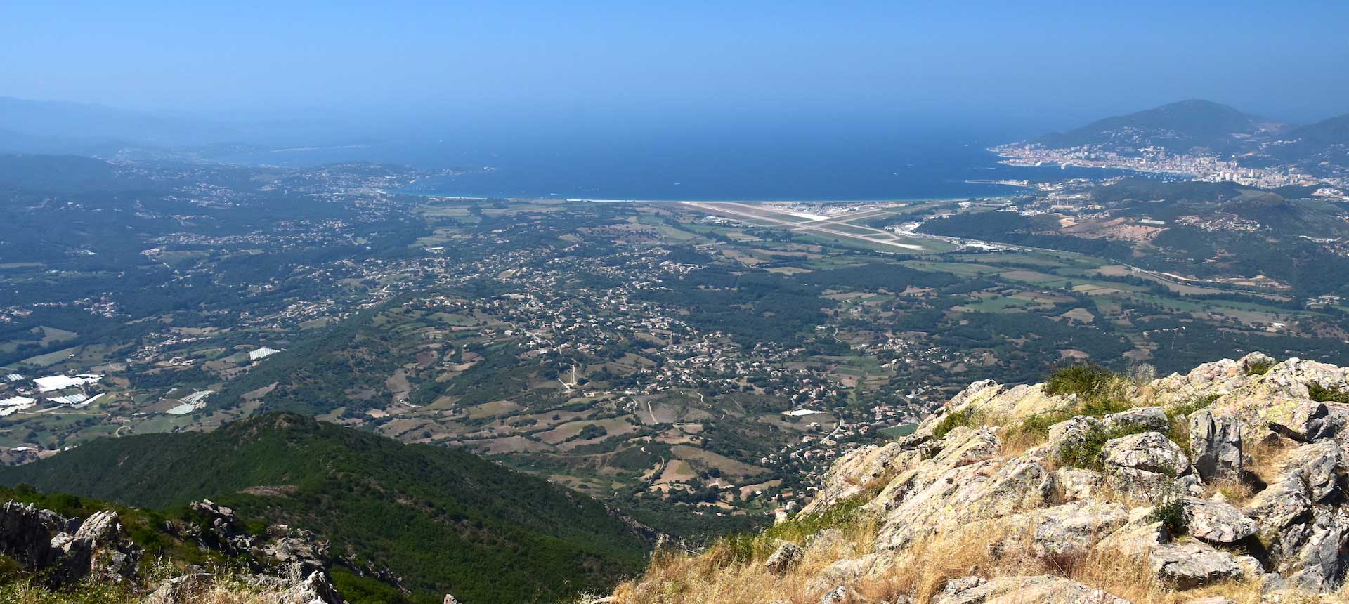
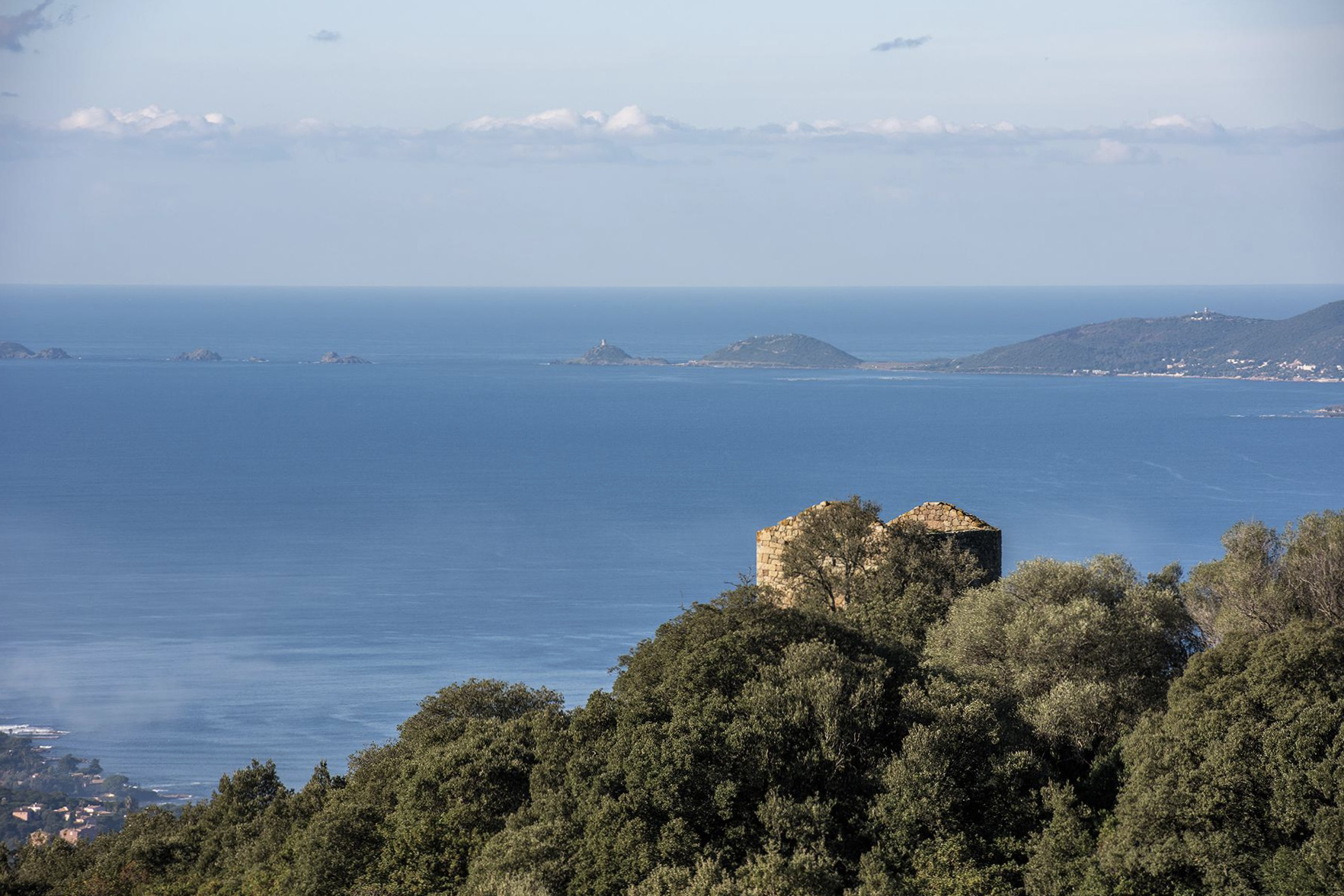
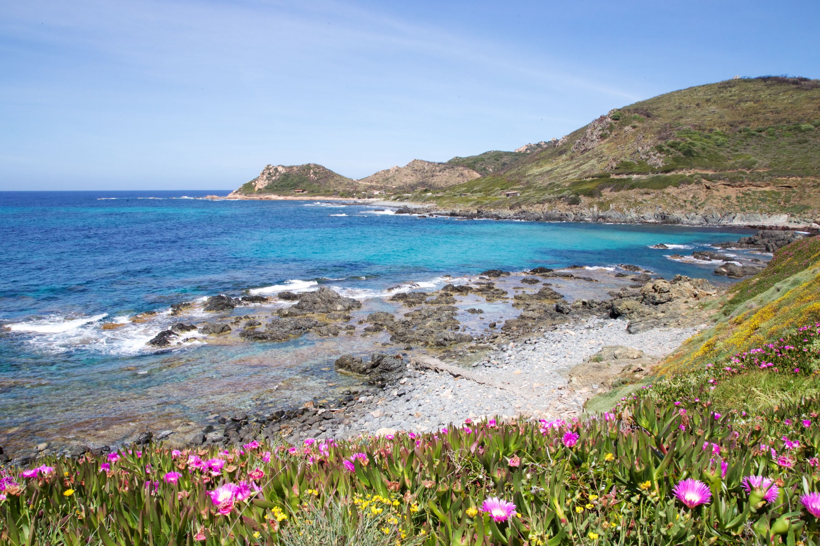
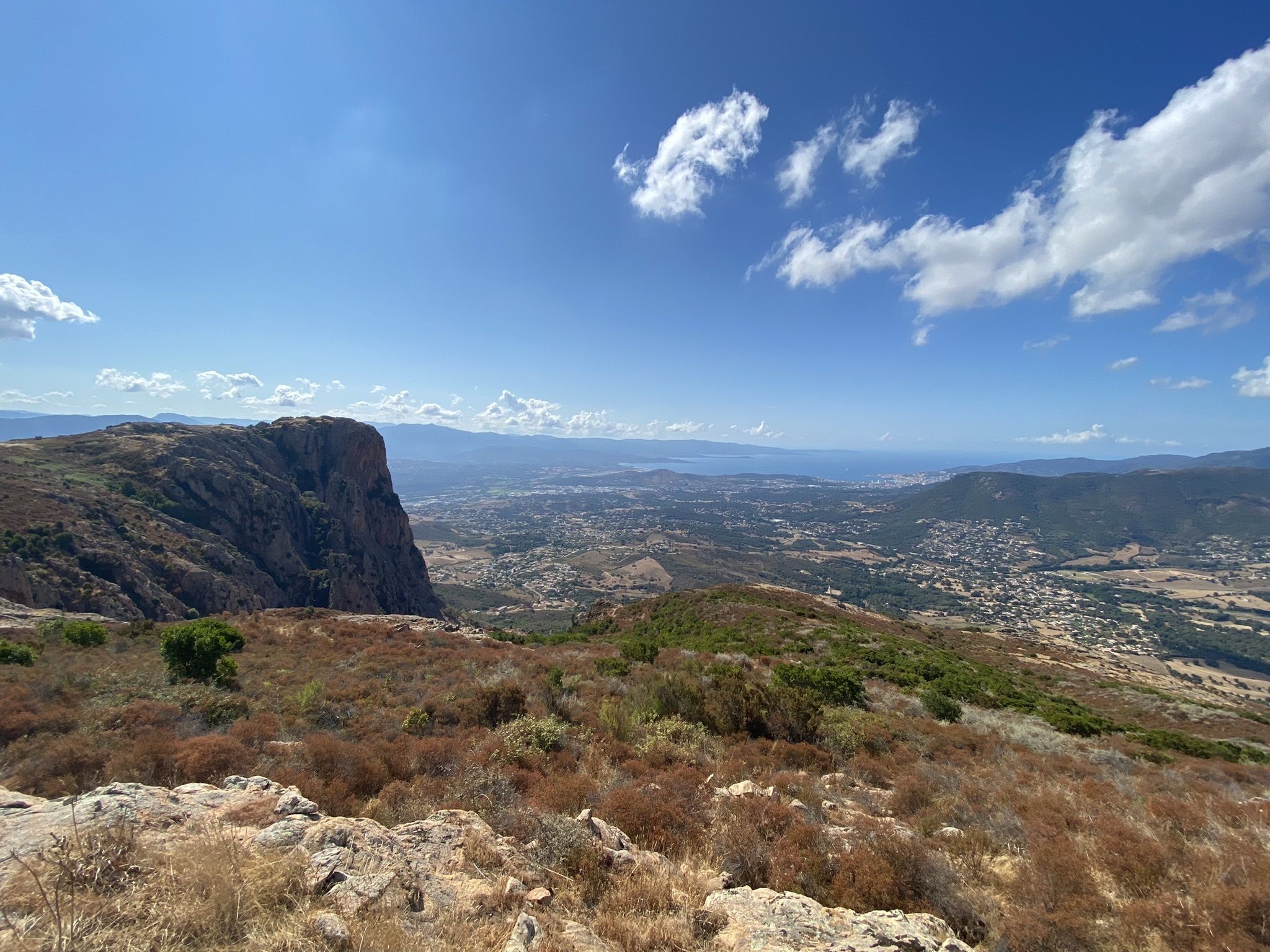
This narrow path leading to Punta Pastinaca offers a magnificent panorama, as well as plenty of opportunities to snack on wild blackberries.

Already more than 200,000 users!
Uphill
543m
Highest point
806m
Downhill
543m
Lowest point
427m
Route type
Loop
Download the map on your smartphone to save battery and rest assured to always keep access to the route, even without signal.
Includes IGN France and Swisstopo.
I indicate whether dogs are allowed or prohibited on this trail
All year
3 ratings
Also enjoy:

Already more than 200,000 users!