Uphill
369m
Length
8km
Duration
3h
Elev gain
369m
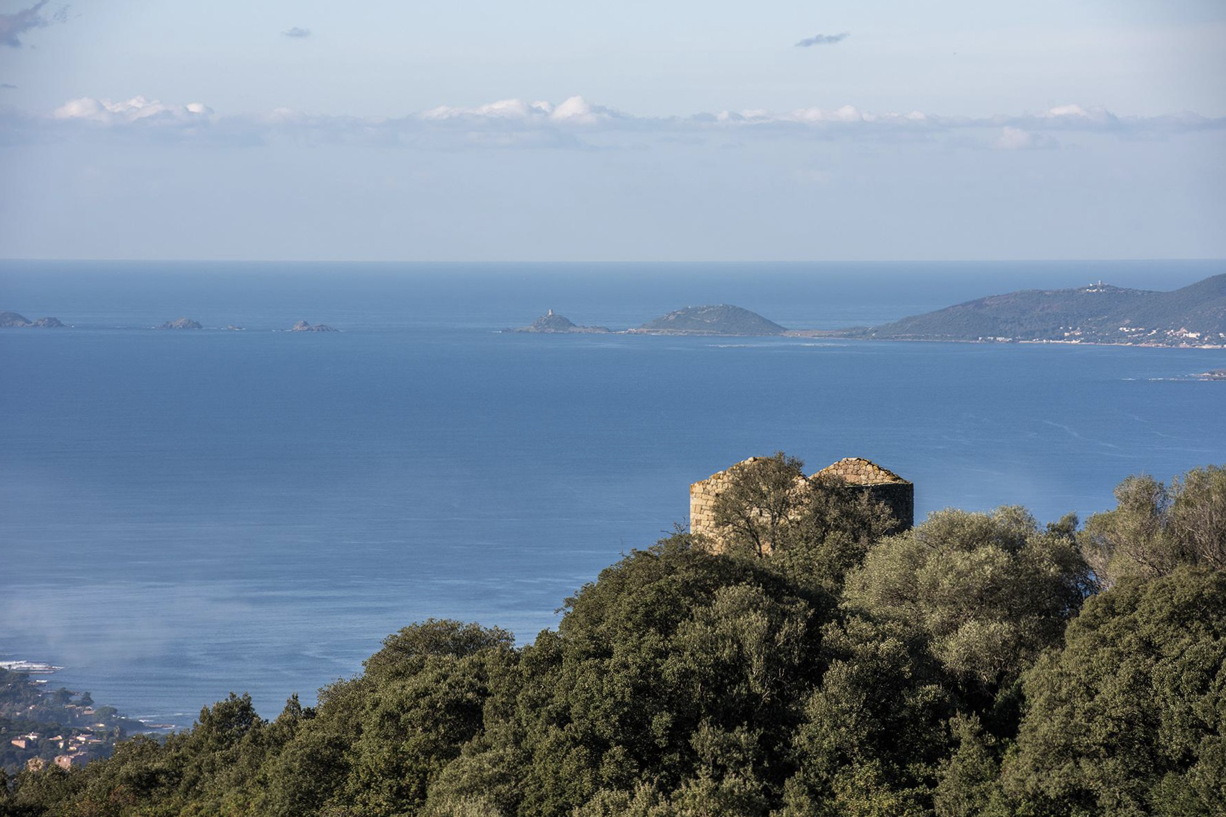
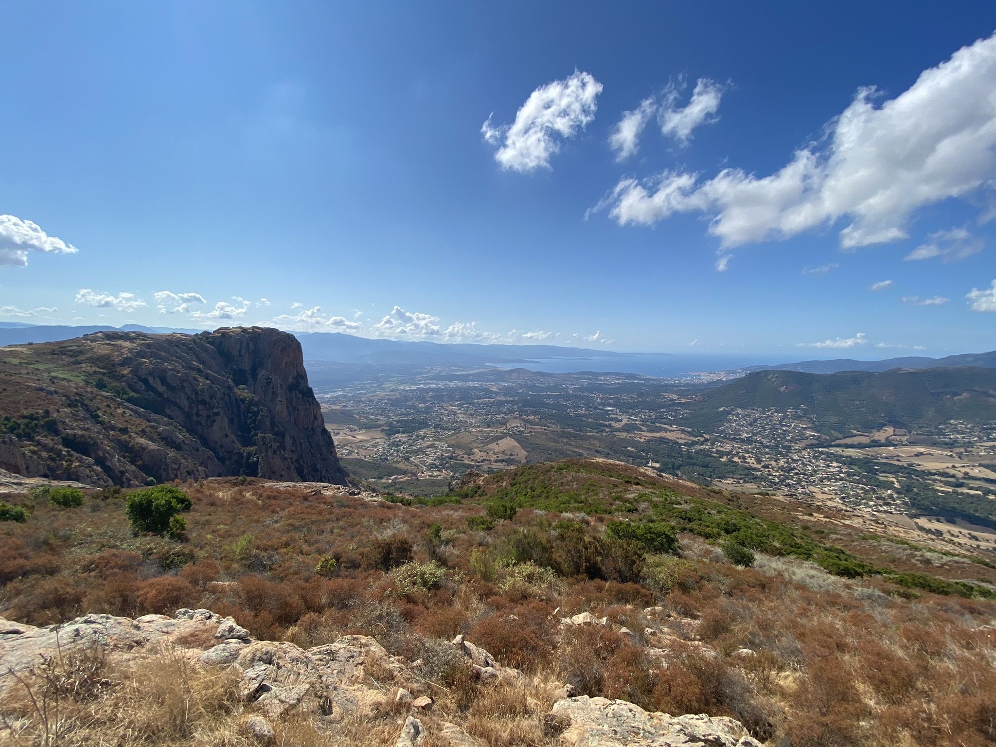
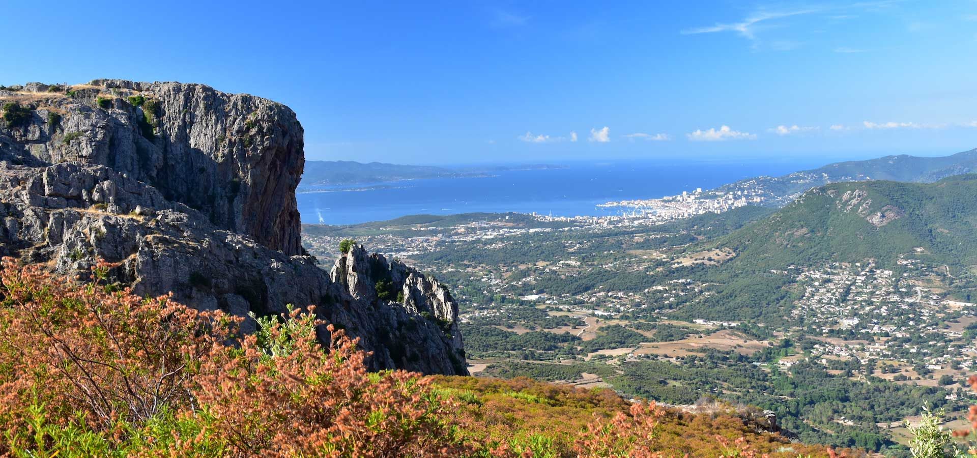
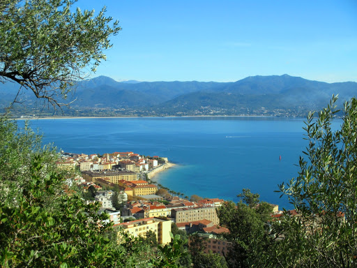
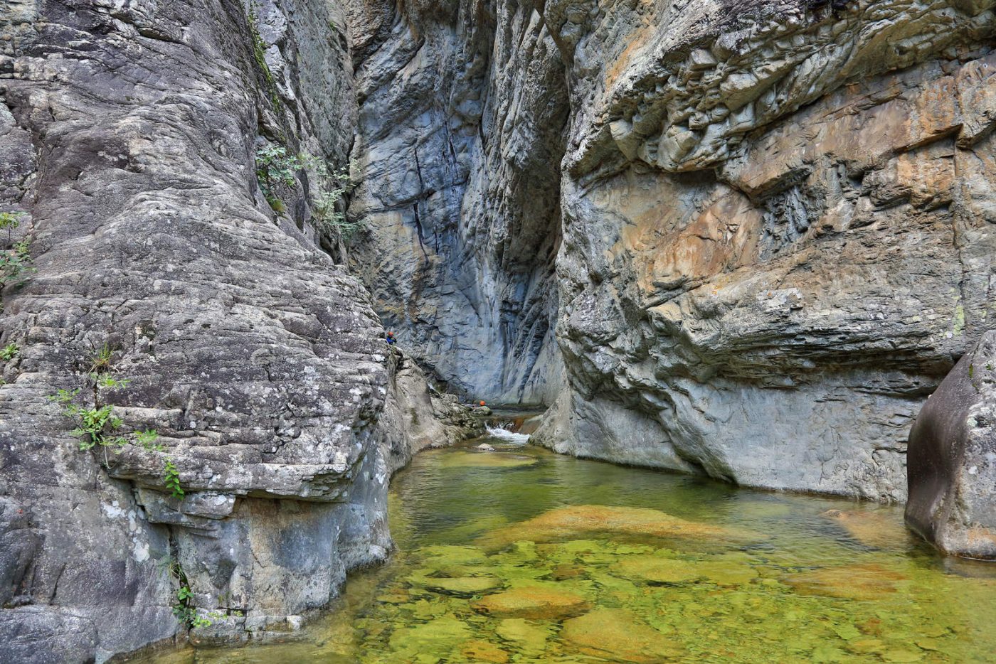
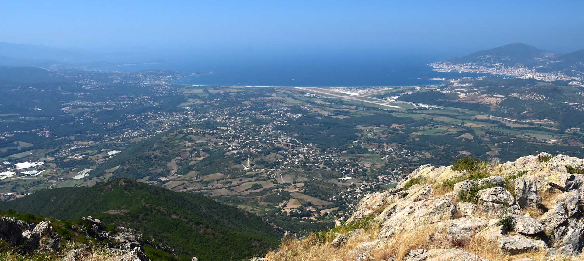
Hike in the middle of beautiful vegetation to Monte Aragnascu (888 m), which offers a magnificent view of the Gulf of Ajaccio.

Already more than 200,000 users!
Uphill
369m
Highest point
883m
Downhill
369m
Lowest point
537m
Route type
Loop
Download the map on your smartphone to save battery and rest assured to always keep access to the route, even without signal.
Includes IGN France and Swisstopo.
I indicate whether dogs are allowed or prohibited on this trail
All year
1 rating
Also enjoy:

Already more than 200,000 users!