Uphill
41m
Length
3km
Duration
1h
Elev gain
41m
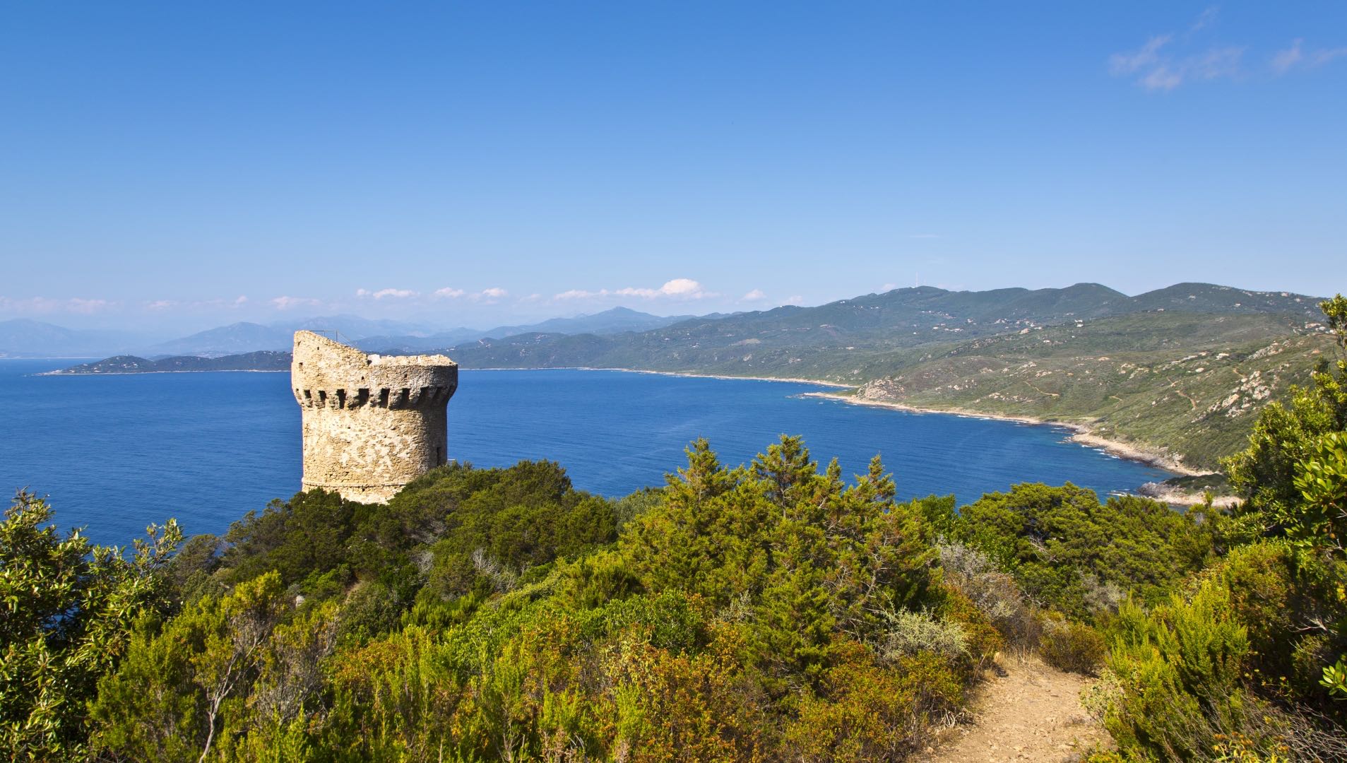
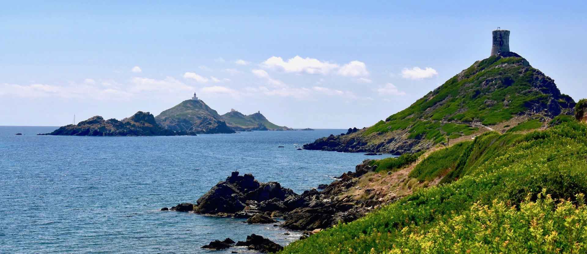
Short coastal path leading to a Genoese tower, with a superb view of the sea and the Sanguinaires islands. To do preferably at sunset.

Already more than 200,000 users!
Uphill
41m
Highest point
28m
Downhill
41m
Lowest point
0m
Route type
Loop
Download the map on your smartphone to save battery and rest assured to always keep access to the route, even without signal.
Includes IGN France and Swisstopo.
I indicate whether dogs are allowed or prohibited on this trail
All year
2 ratings
Also enjoy:

Already more than 200,000 users!