Uphill
286m
France > Grand Est > Bas-Rhin > Vosges du Nord Nature Park
Length
9km
Duration
3h
Elev gain
286m
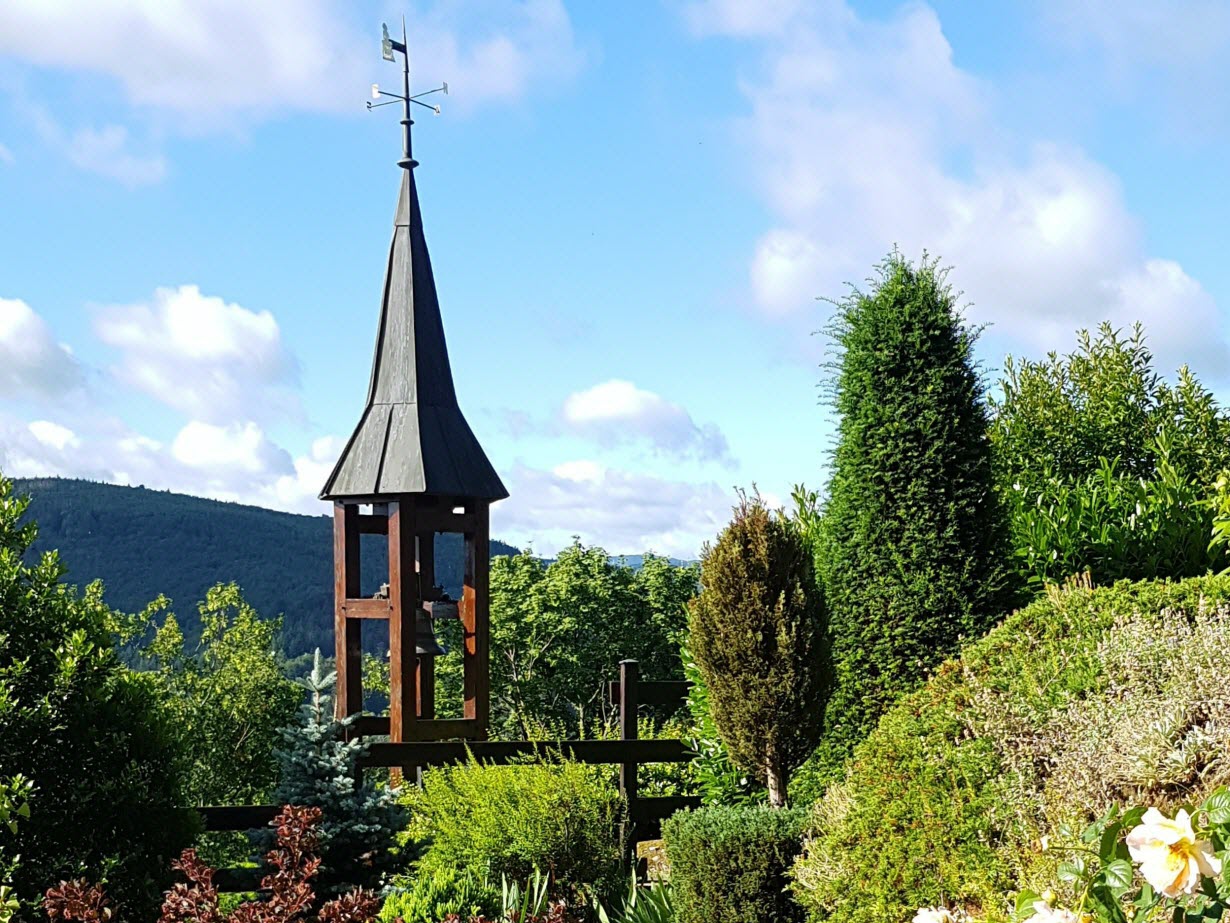
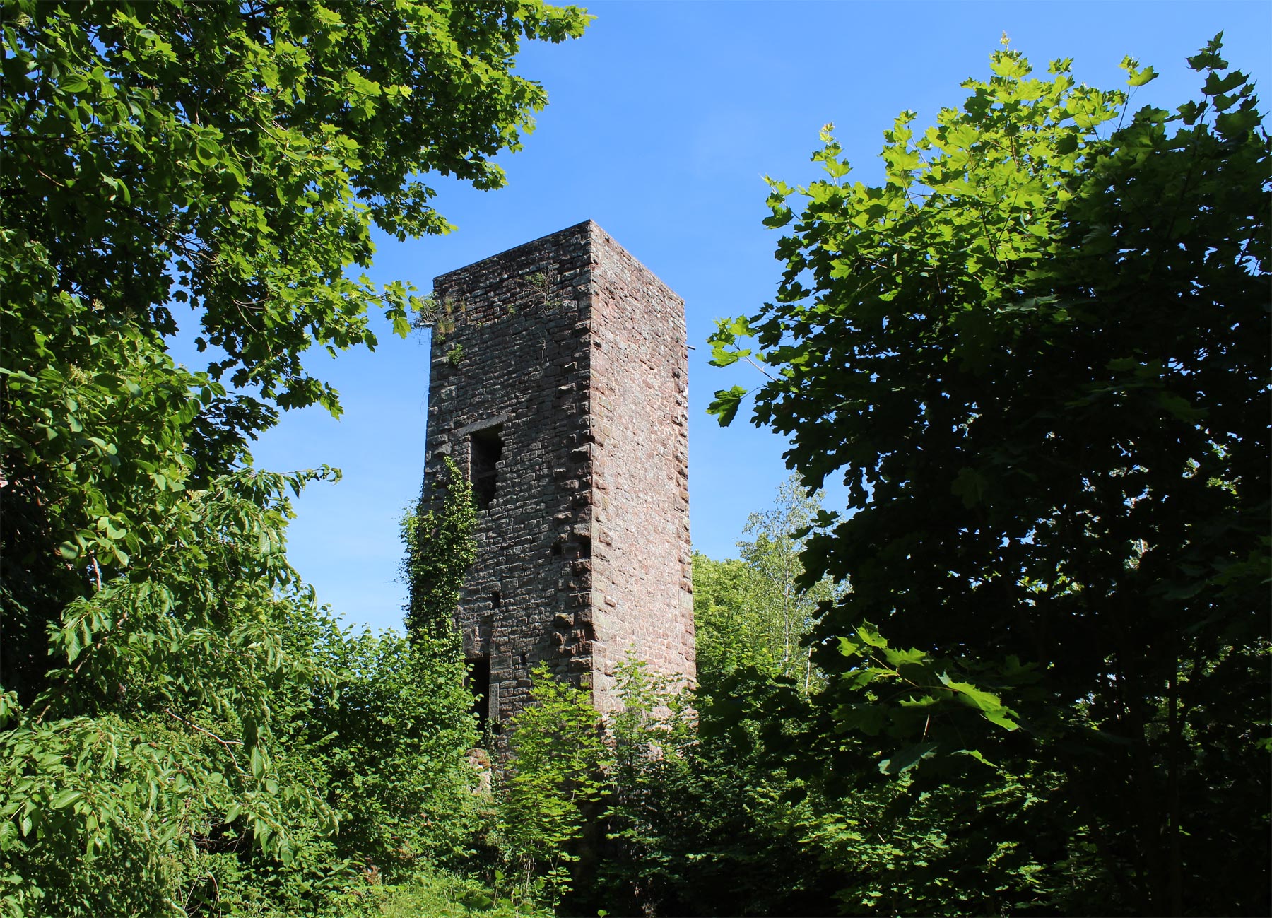
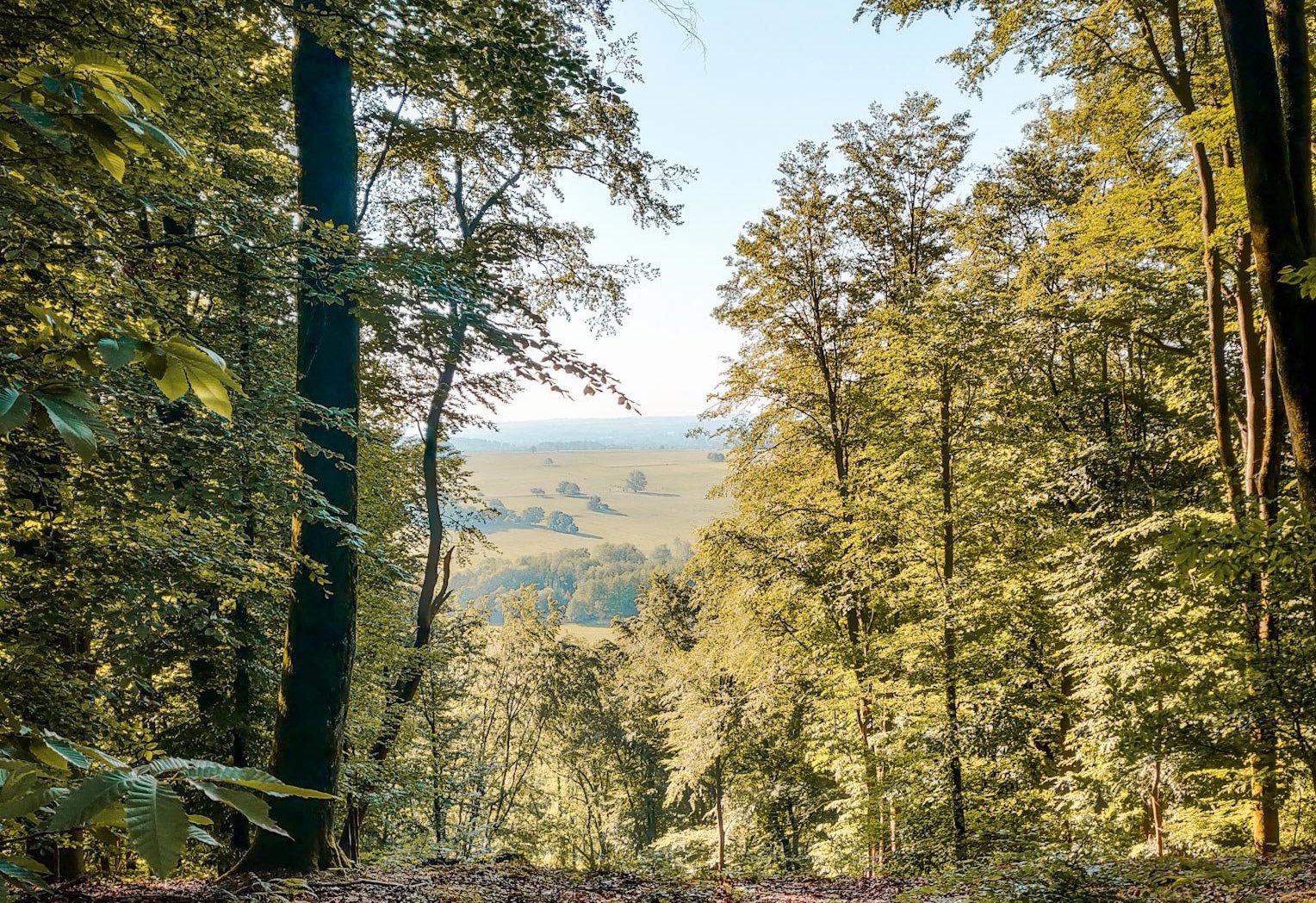
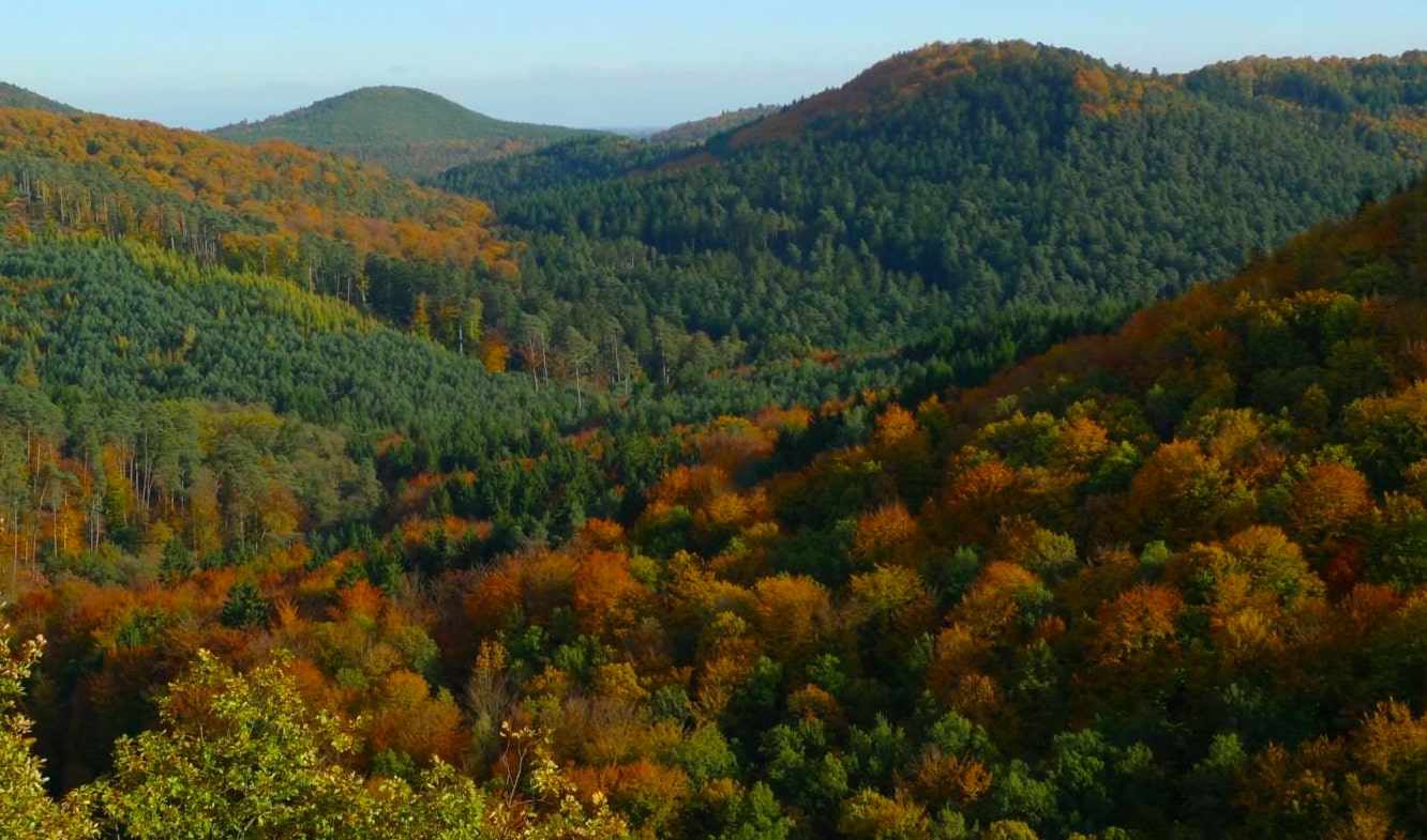
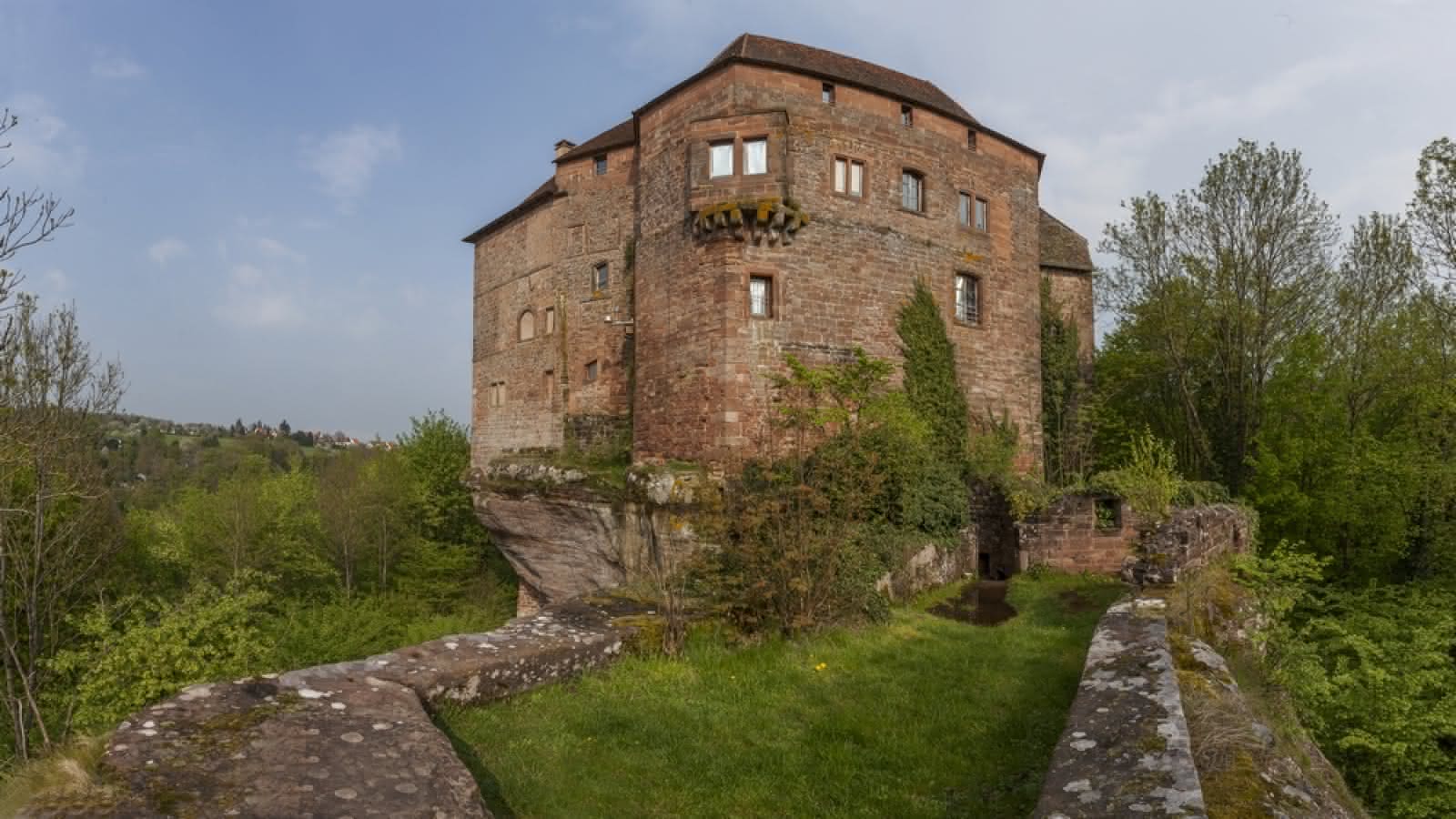
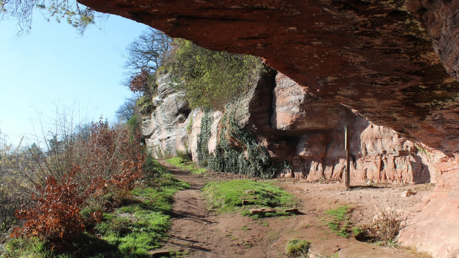
Hike to discover the medieval and Gallo-Roman remains in the Pays de Saverne. The path crosses the forest of Saint-Jean-Saverne and joins the rock of Daubenschlag, passing by the castle of Warthenberg. The return to the starting point is via Mont Saint-Michel.

Already more than 200,000 users!
Uphill
286m
Highest point
415m
Downhill
286m
Lowest point
272m
Route type
Loop
Download the map on your smartphone to save battery and rest assured to always keep access to the route, even without signal.
Includes IGN France and Swisstopo.
I indicate whether dogs are allowed or prohibited on this trail
All year
3 ratings
Also enjoy:

Already more than 200,000 users!