Uphill
423m
Length
10km
Duration
3h30min
Elev gain
423m
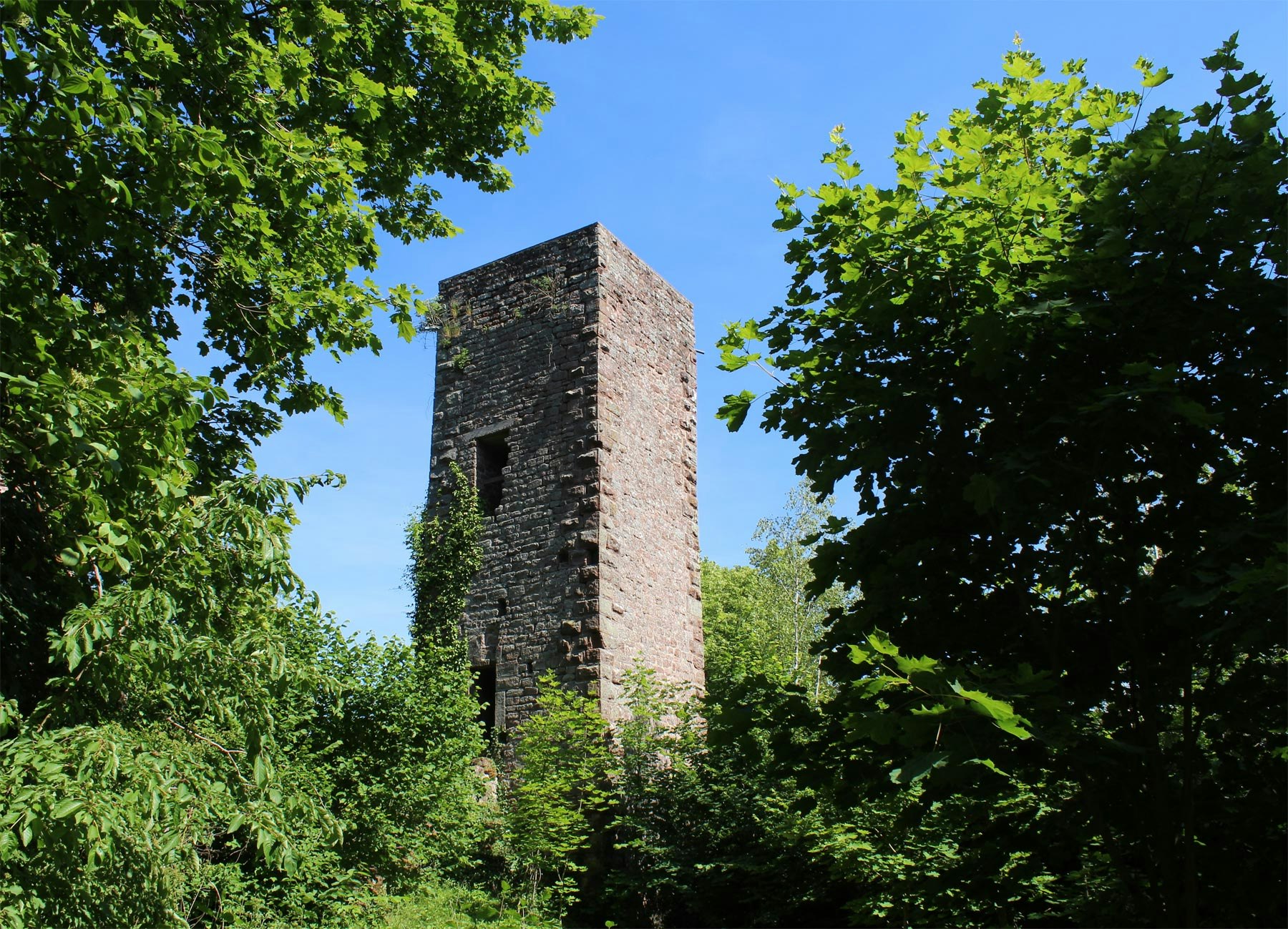
Starting from the Ramsthal pond, this trail allows you to discover the castle of Greifendstain, the Saint-Vit cave and the rock of Breitkopf. Alternation between shaded paths and pretty points of view.

Already more than 200,000 users!
Uphill
423m
Highest point
464m
Downhill
423m
Lowest point
200m
Route type
Loop
Download the map on your smartphone to save battery and rest assured to always keep access to the route, even without signal.
Includes IGN France and Swisstopo.
I indicate whether dogs are allowed or prohibited on this trail
All year
1 rating
Also enjoy:

Already more than 200,000 users!


