Uphill
138m
France > Grand Est > Bas-Rhin > Vosges du Nord Nature Park
Length
5km
Duration
1h30min
Elev gain
138m
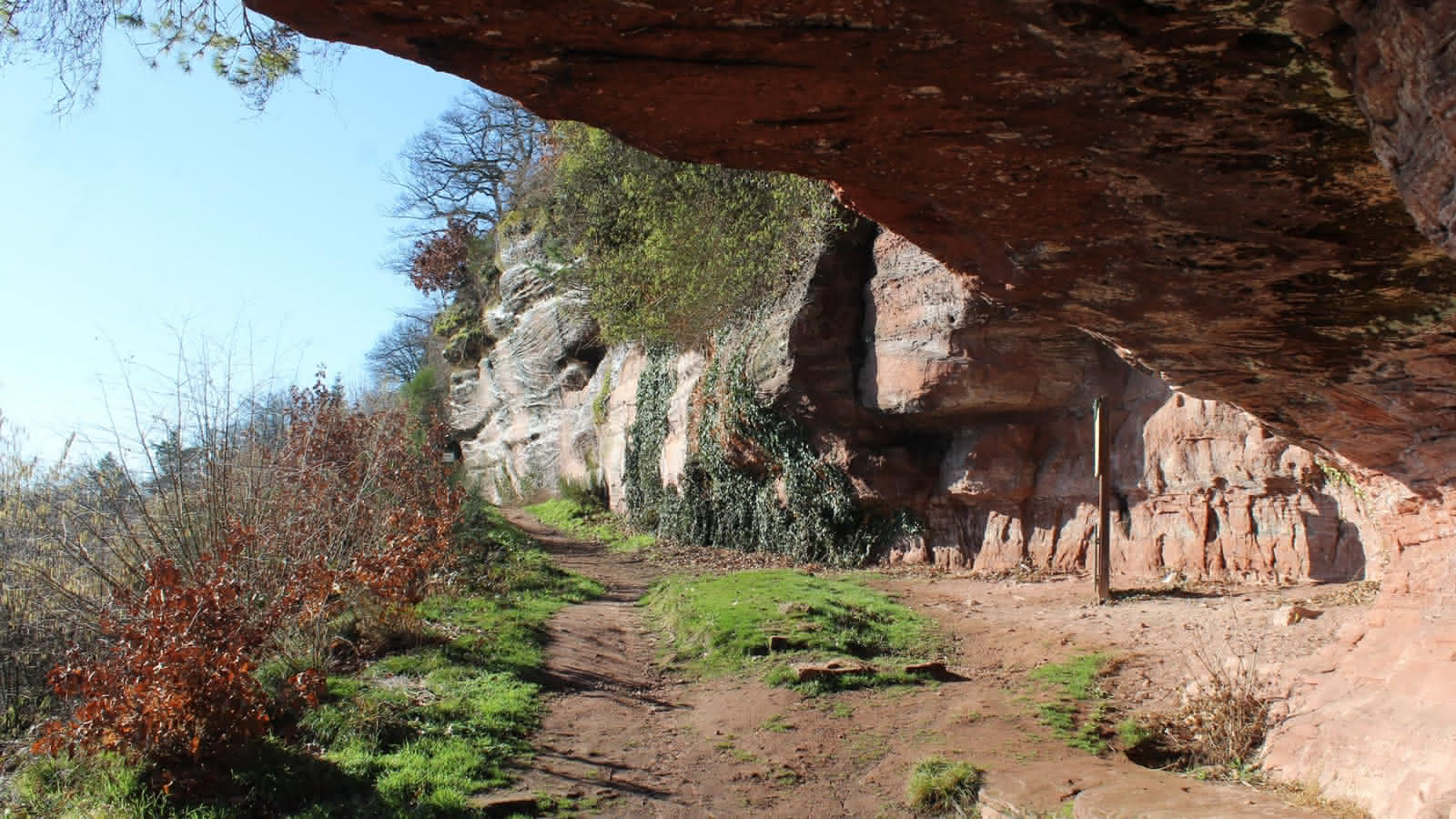
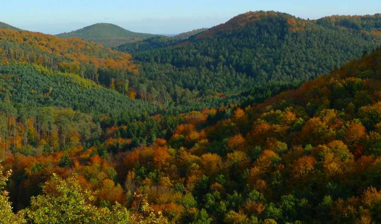
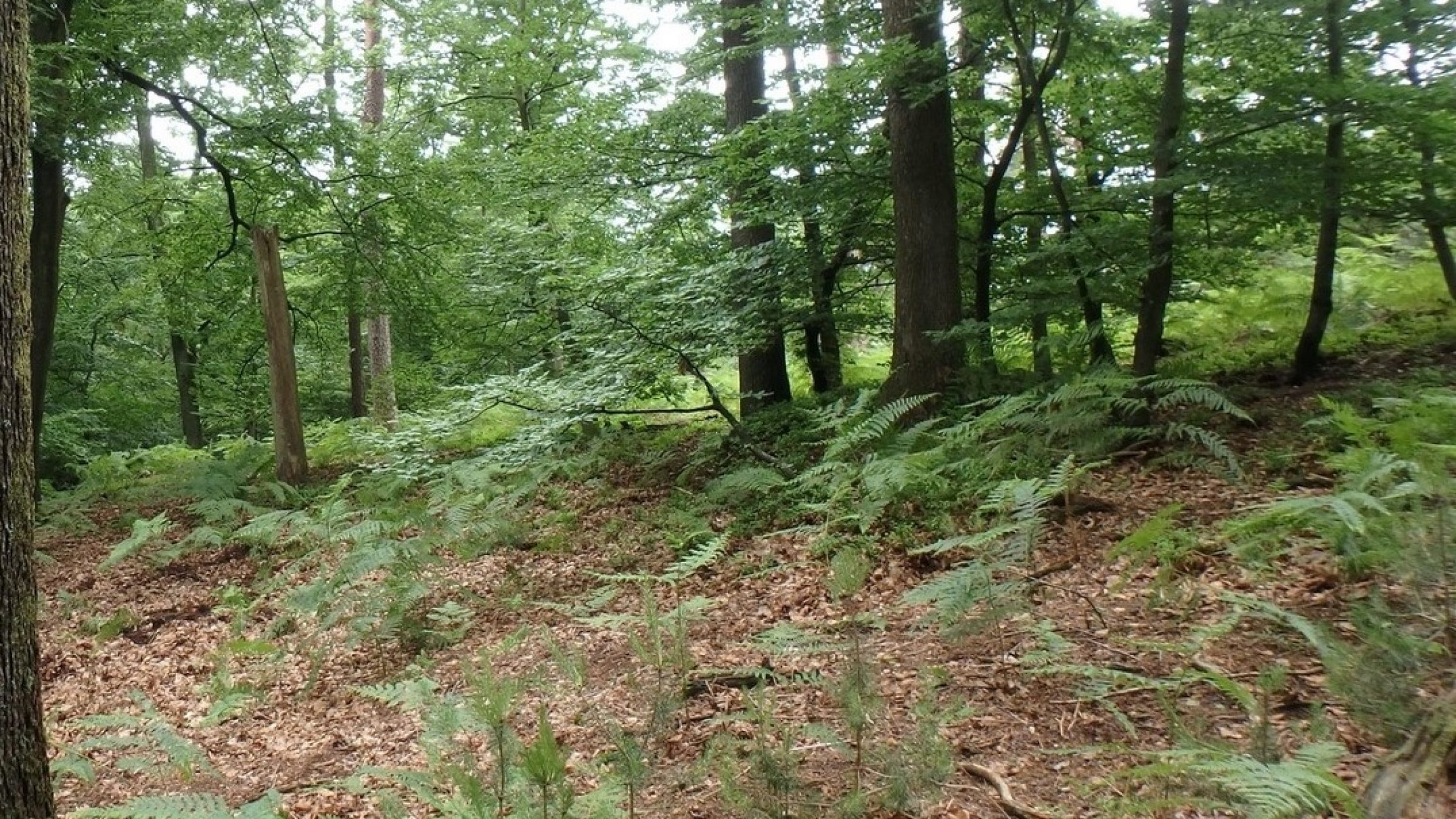
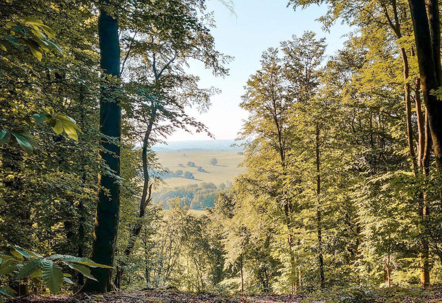
Departing from Dossenheim-sur-Zinsel, this forest trail allows you to gain height over the Zinsel du Sud valley as well as over Ernolsheim-lès-Saverne.

Already more than 200,000 users!
Uphill
138m
Highest point
294m
Downhill
138m
Lowest point
171m
Route type
Loop
Download the map on your smartphone to save battery and rest assured to always keep access to the route, even without signal.
Includes IGN France and Swisstopo.
I indicate whether dogs are allowed or prohibited on this trail
All year
1 rating
Also enjoy:

Already more than 200,000 users!