Uphill
102m
Length
6km
Duration
1h30min
Elev gain
102m
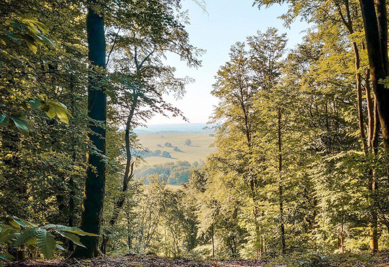
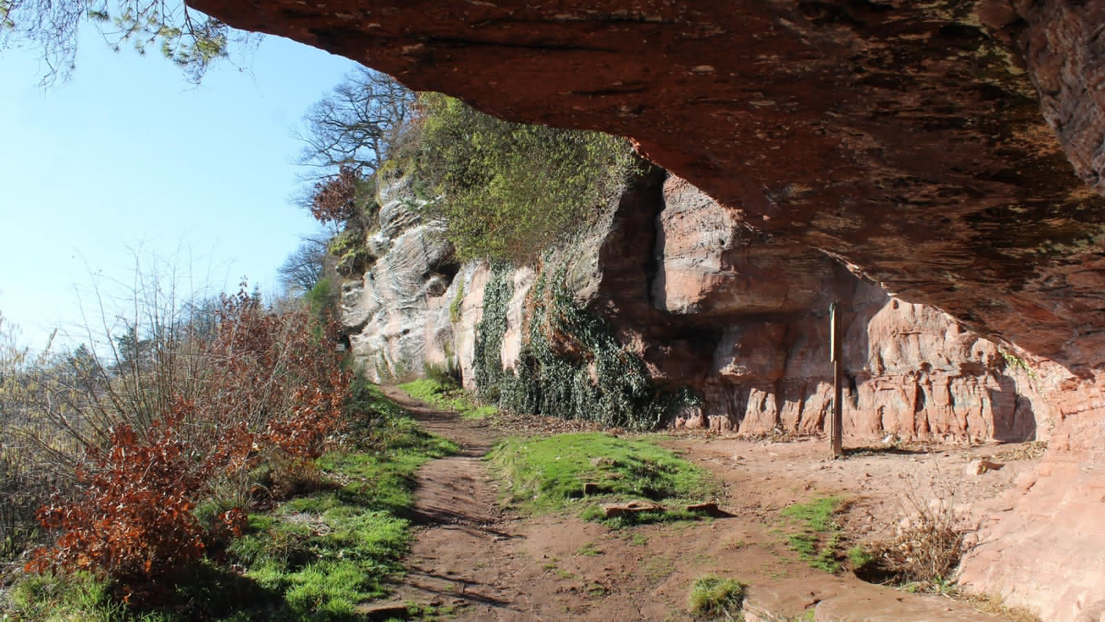
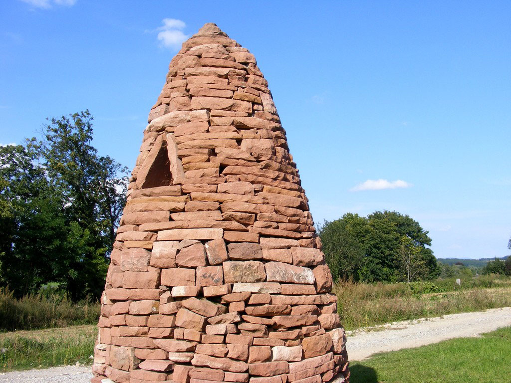
Departing from Bouxwiller, this trail on the Bastberg hill allows you to discover seven chortens retracing the geological history of Alsace, accompanied by explanatory panels. The chortens being dry stone constructions.

Already more than 200,000 users!
Uphill
102m
Highest point
322m
Downhill
102m
Lowest point
231m
Route type
Loop
Download the map on your smartphone to save battery and rest assured to always keep access to the route, even without signal.
Includes IGN France and Swisstopo.
I indicate whether dogs are allowed or prohibited on this trail
All year
2 ratings
Also enjoy:

Already more than 200,000 users!