Uphill
192m
Length
11km
Duration
3h30min
Elev gain
192m
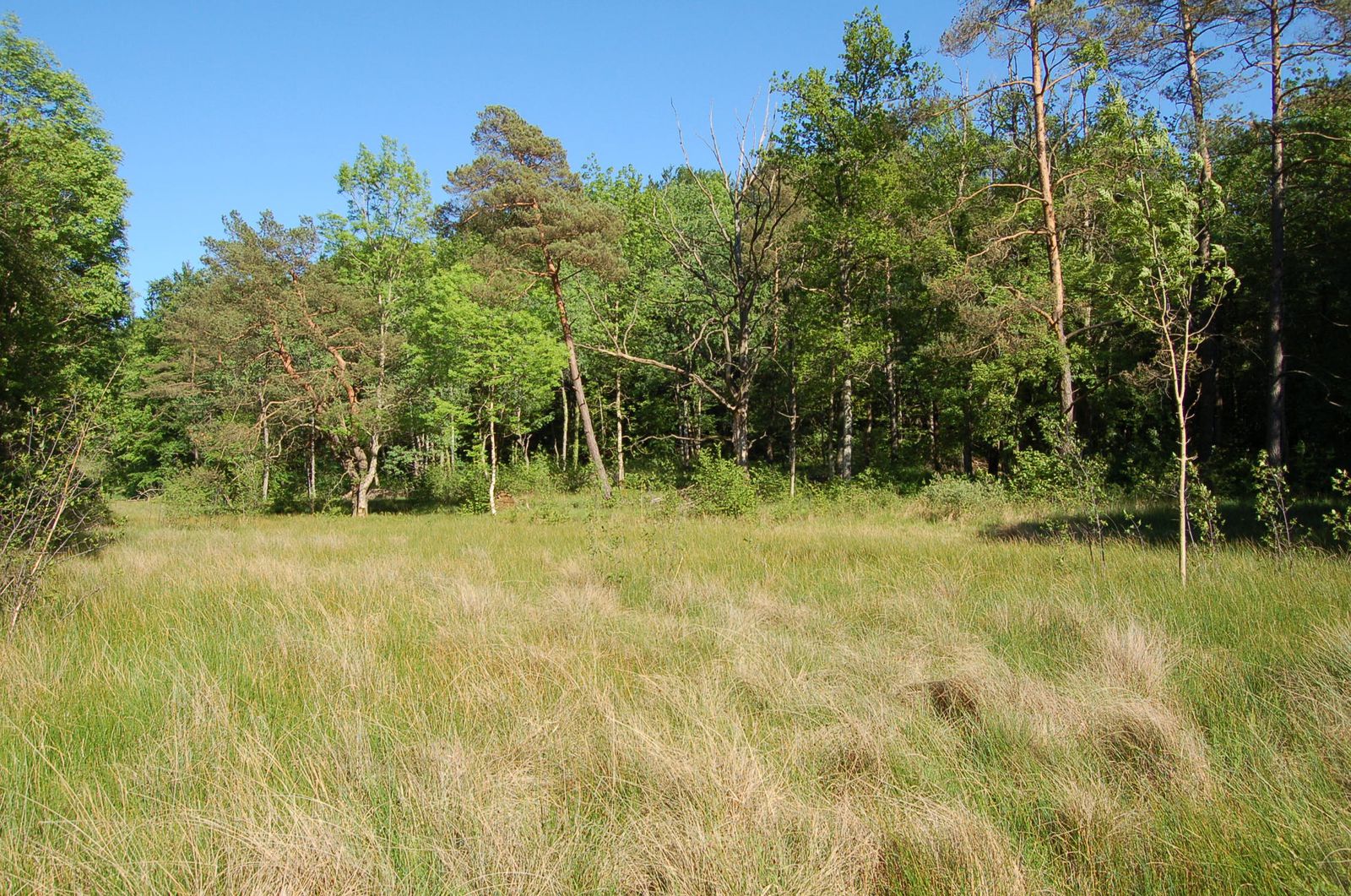
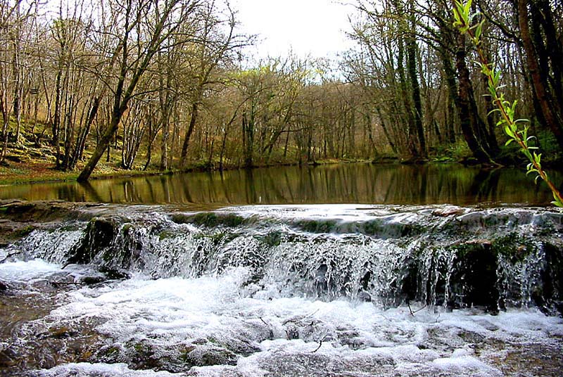
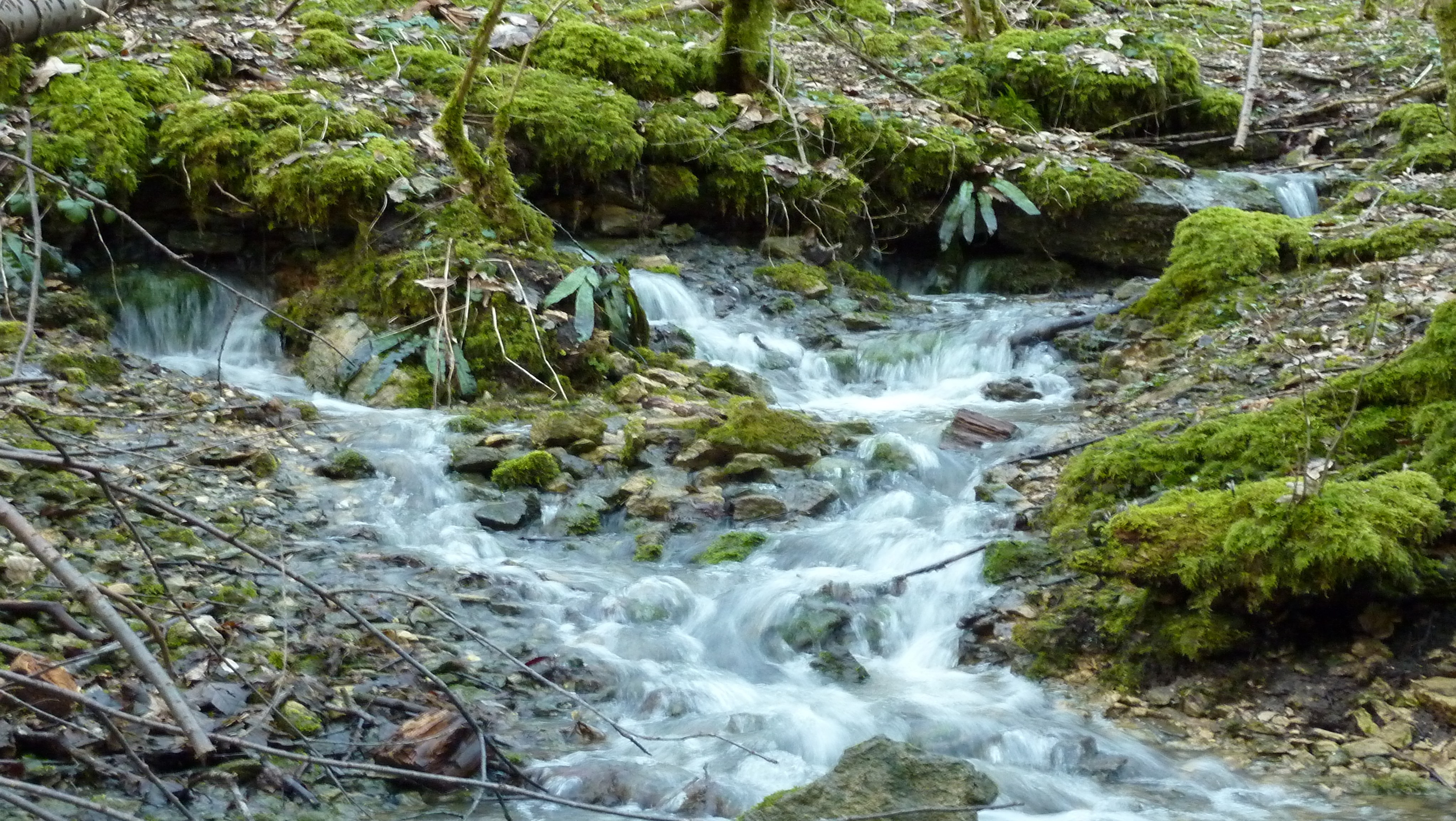
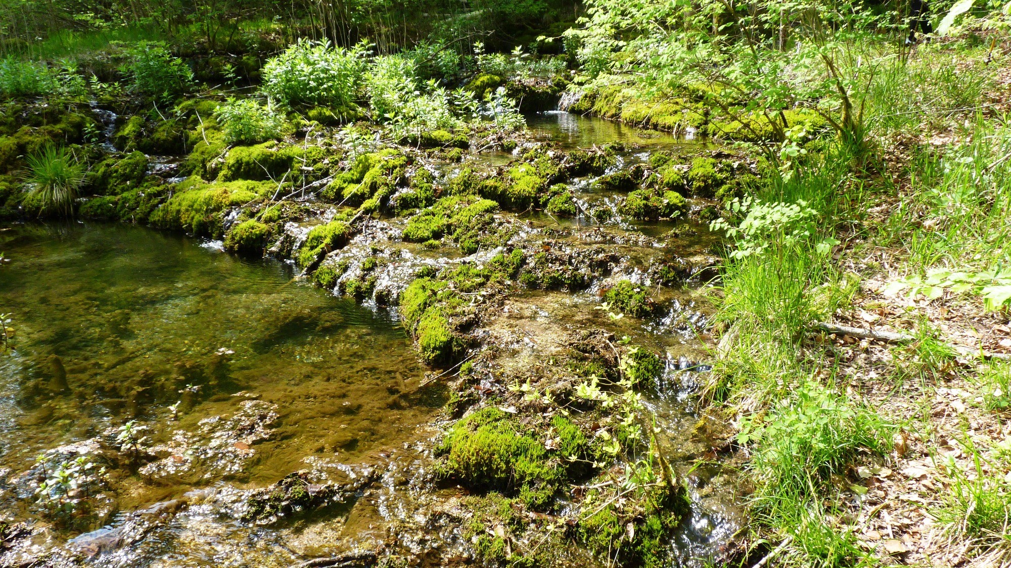
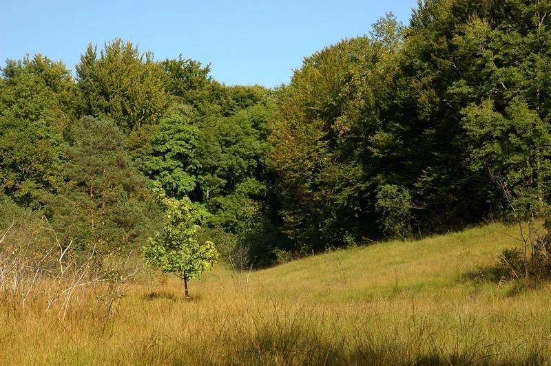
Departing from the small village of Musseau, this route loops around the Chalmessin nature reserve. The trail passes through hills, woods and a pretty hardwood forest, before returning to the starting point via an old railway line.

Already more than 200,000 users!
Uphill
192m
Highest point
489m
Downhill
192m
Lowest point
377m
Route type
Loop
Download the map on your smartphone to save battery and rest assured to always keep access to the route, even without signal.
Includes IGN France and Swisstopo.
I indicate whether dogs are allowed or prohibited on this trail
All year
0 ratings
Also enjoy:

Already more than 200,000 users!