Uphill
143m

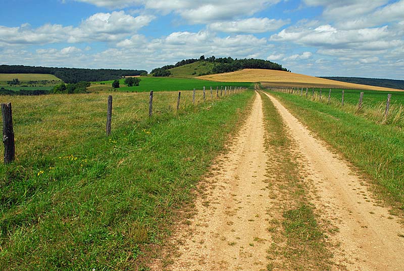
France > Grand Est > Haute-Marne > Forêts National Park
Length
6km
Duration
2h
Elev gain
143m
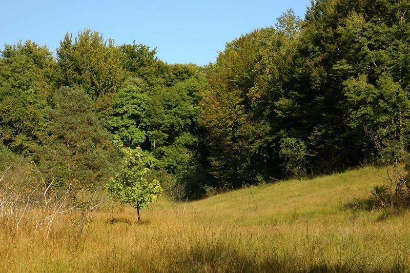
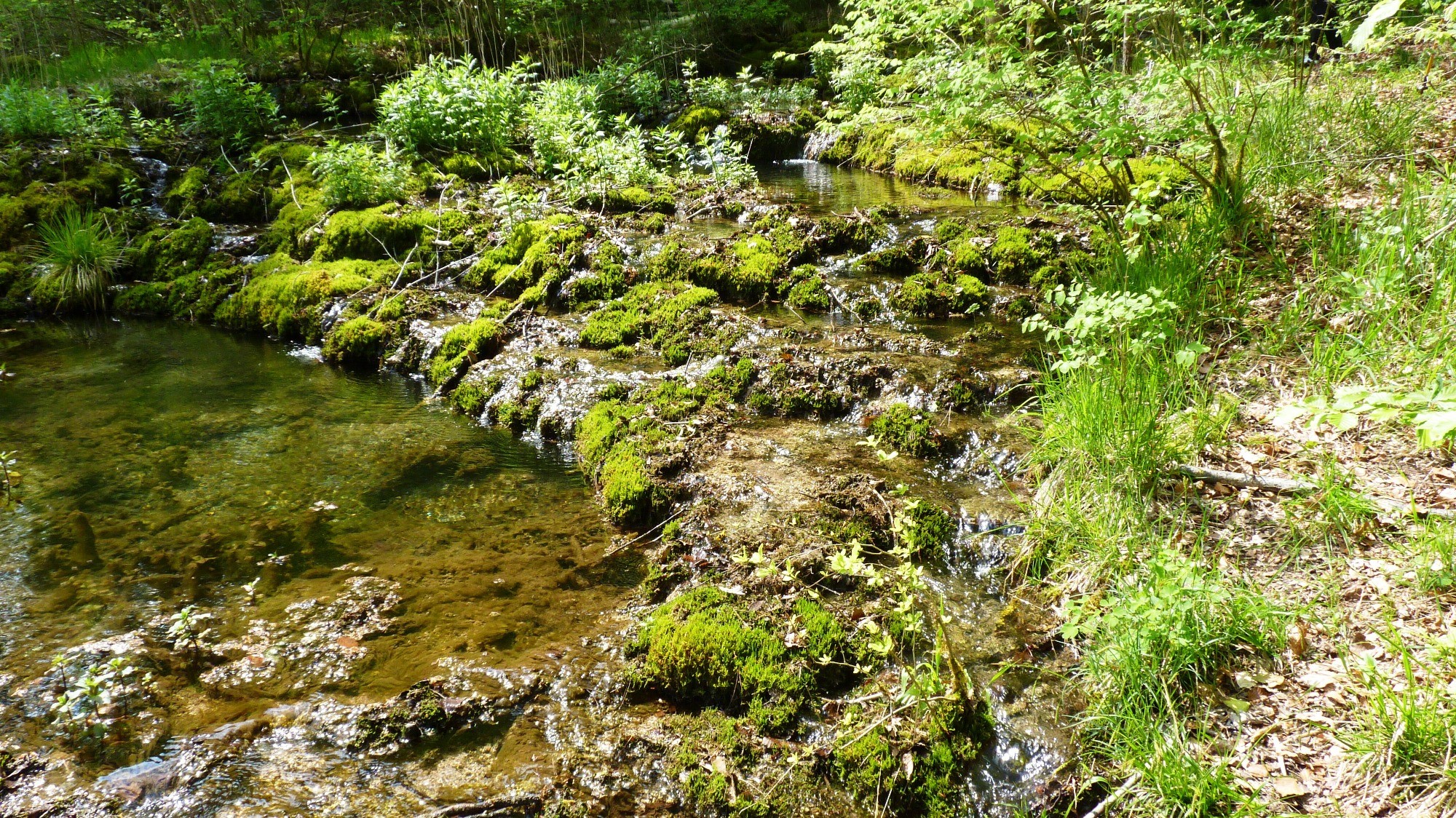
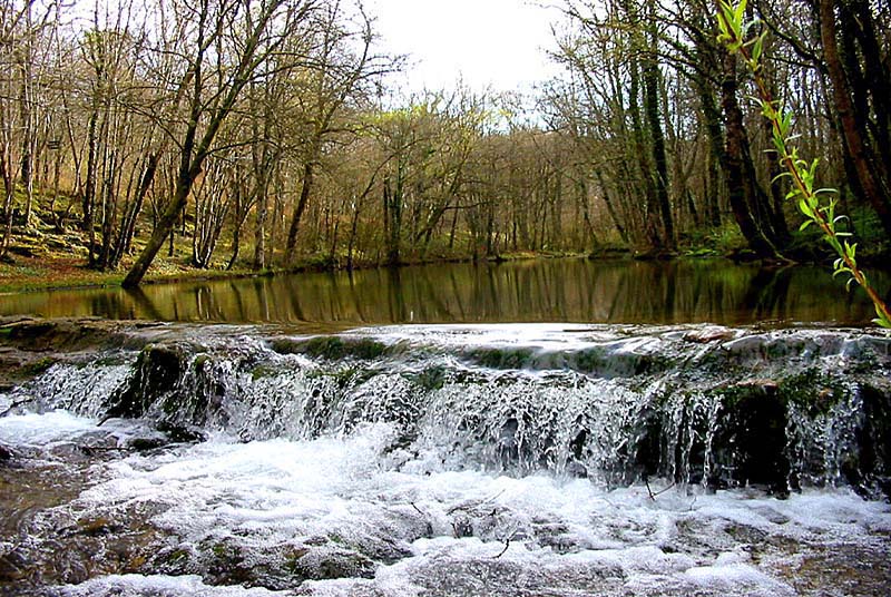
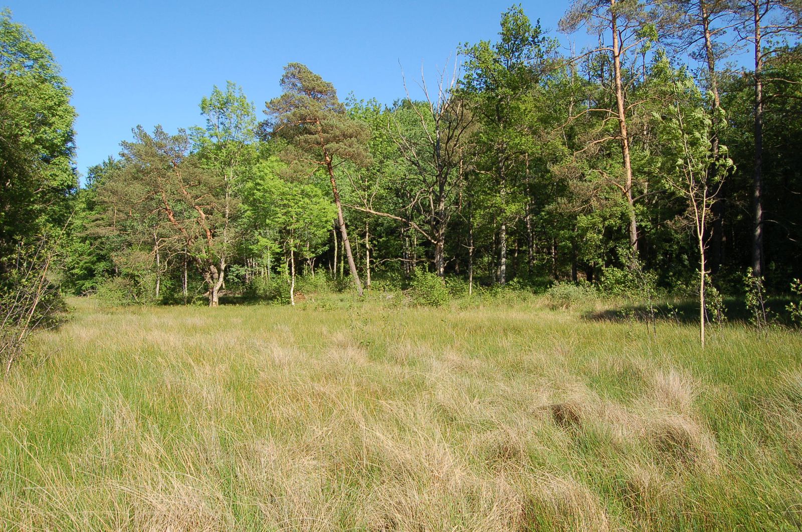
It is in a pretty forest that this course takes place. The path begins at a place called Thuillière, leads to the source of the Aube then makes a beautiful loop in the forest. Easy walk that lends itself well to a family outing.

Already more than 200,000 users!
Uphill
143m
Highest point
489m
Downhill
143m
Lowest point
370m
Route type
Loop
Download the map on your smartphone to save battery and rest assured to always keep access to the route, even without signal.
Includes IGN France and Swisstopo.
1 rating
Also enjoy:

Already more than 200,000 users!