Uphill
204m
Length
8km
Duration
2h30min
Elev gain
204m
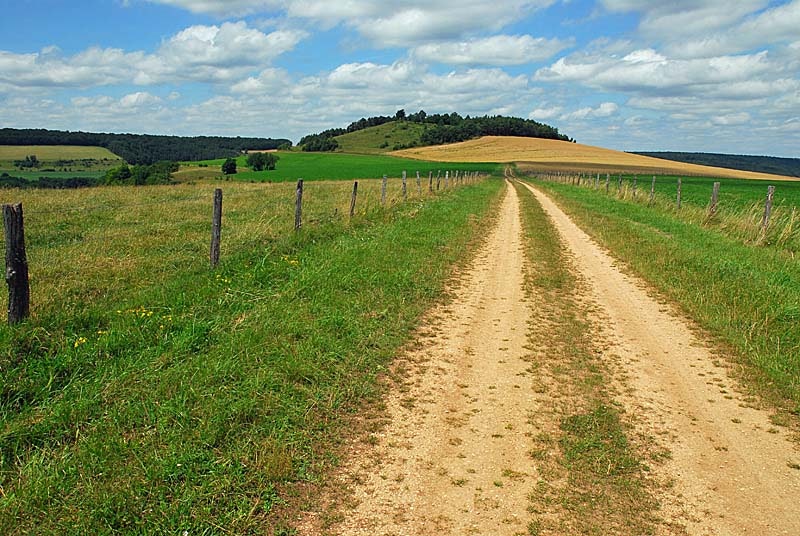
Here is a pretty walk that begins in the village of Bay-sur-Aube. The route is made up of two loops that criss-cross the hill of Taloison, considered one of the major natural sites of the Langres plateau.

Already more than 200,000 users!
Uphill
204m
Highest point
437m
Downhill
204m
Lowest point
309m
Route type
Loop
Download the map on your smartphone to save battery and rest assured to always keep access to the route, even without signal.
Includes IGN France and Swisstopo.
I indicate whether dogs are allowed or prohibited on this trail
All year
0 ratings
Also enjoy:

Already more than 200,000 users!


