Uphill
155m
Length
8km
Duration
2h30min
Elev gain
155m
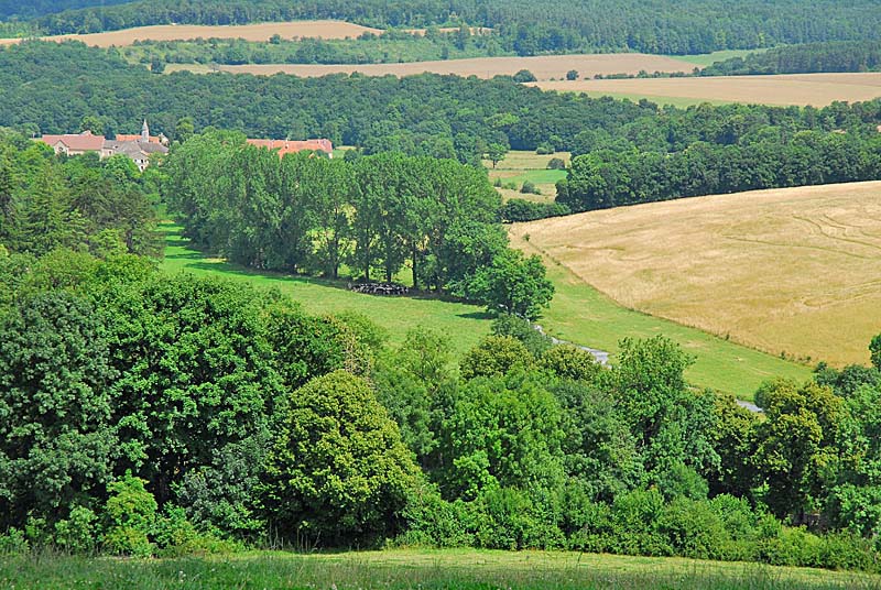
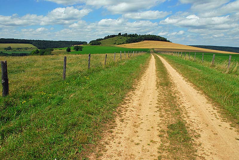
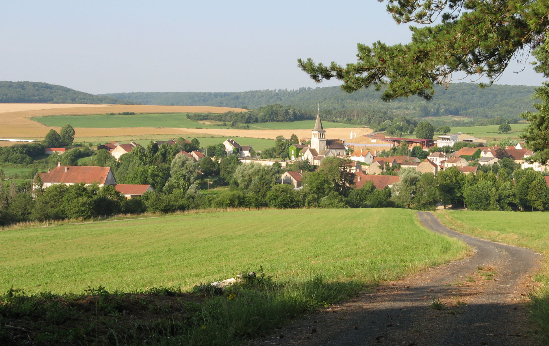
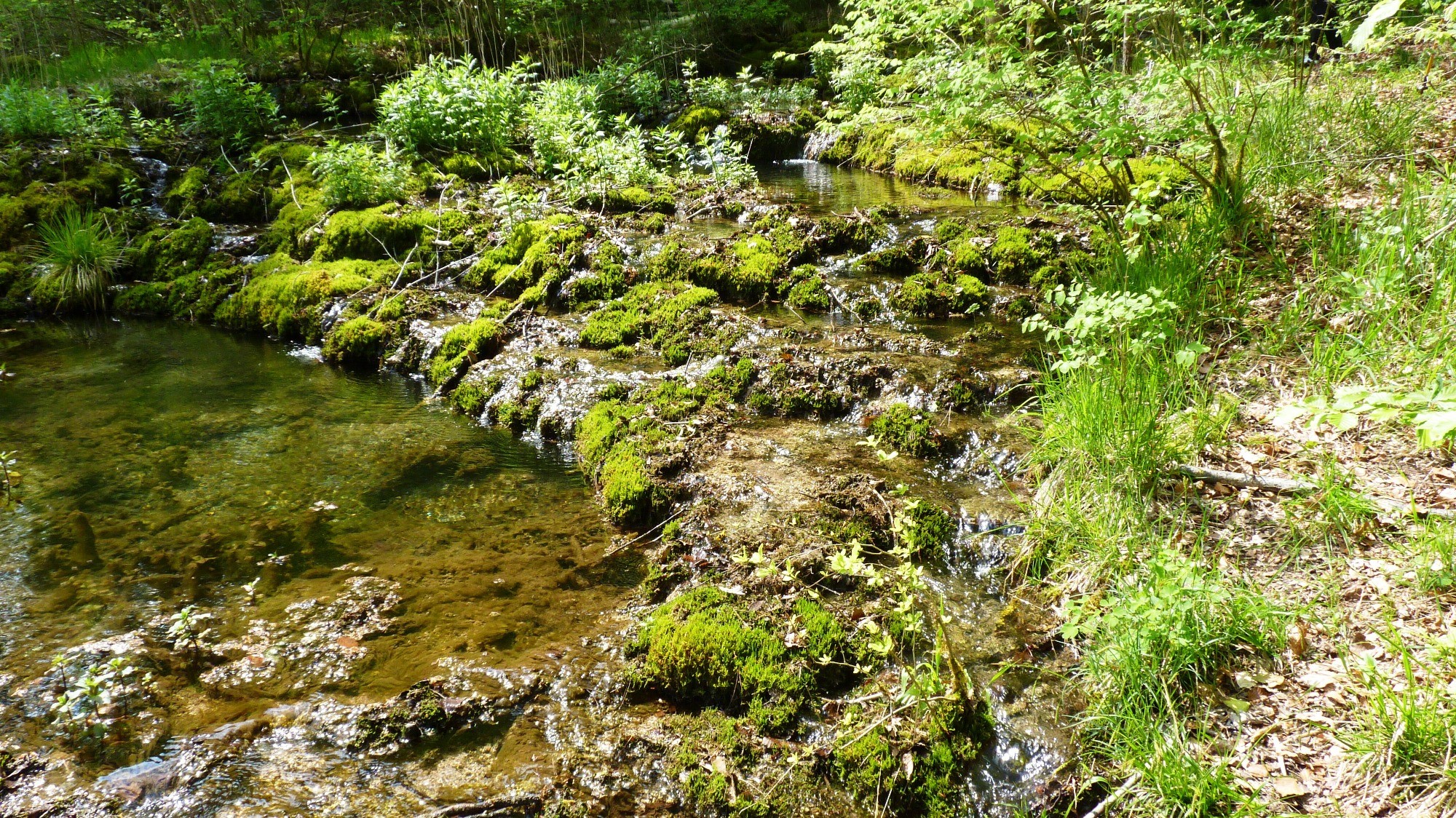
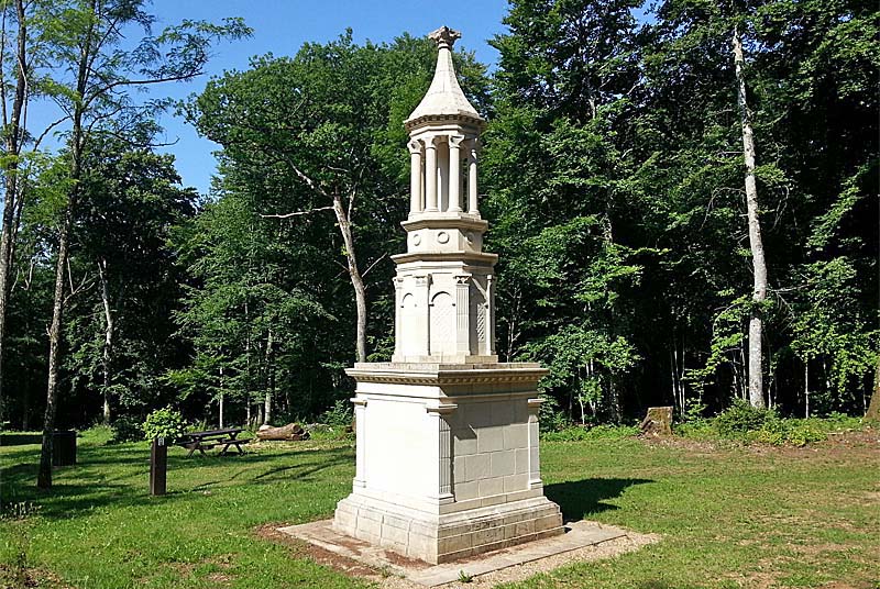
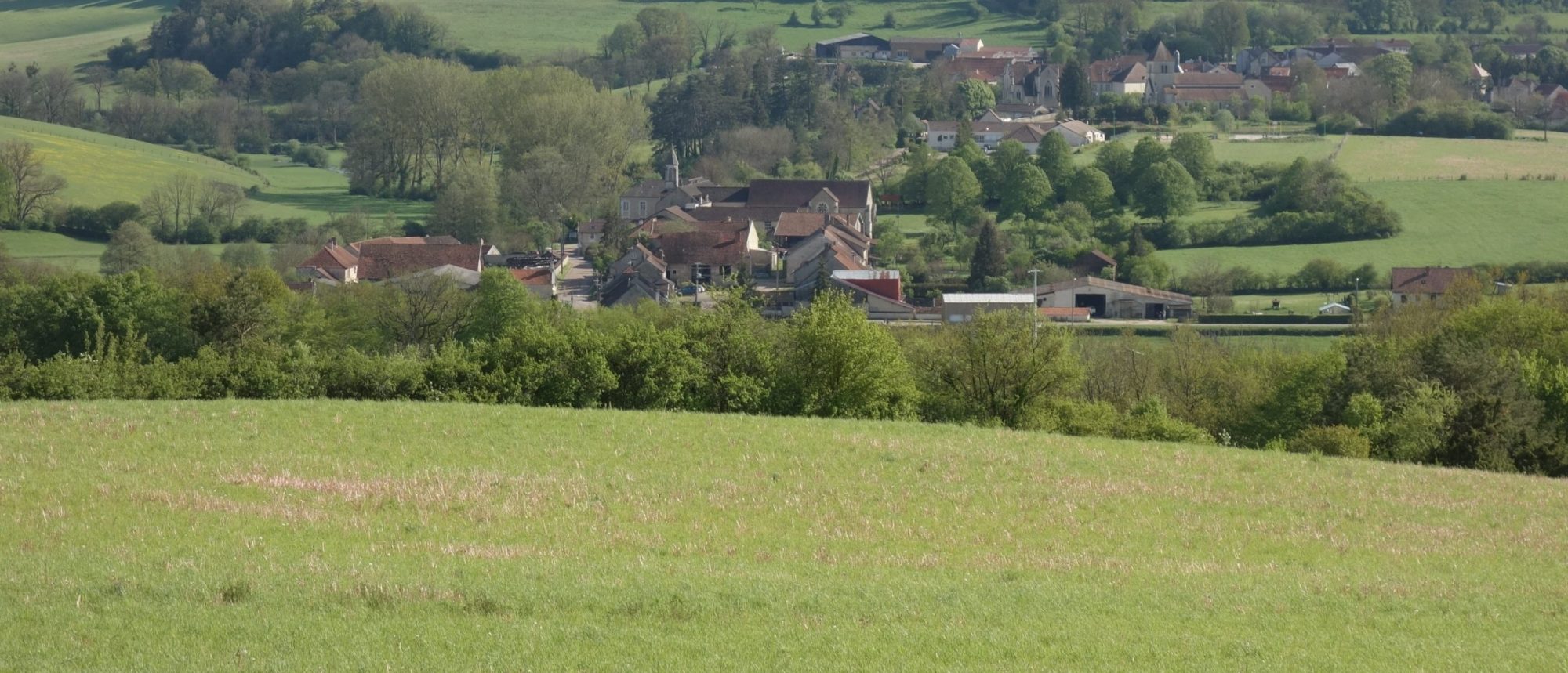
From the village of Courcelles-sur-Aujon, this pretty walk is mainly in the forest. The route passes through La Rente-sur-Villiers then continues through the forest before returning towards the starting point.

Already more than 200,000 users!
Uphill
155m
Highest point
433m
Downhill
155m
Lowest point
294m
Route type
Loop
Download the map on your smartphone to save battery and rest assured to always keep access to the route, even without signal.
Includes IGN France and Swisstopo.
I indicate whether dogs are allowed or prohibited on this trail
All year
0 ratings
Also enjoy:

Already more than 200,000 users!