Uphill
256m
Length
14km
Duration
4h
Elev gain
256m
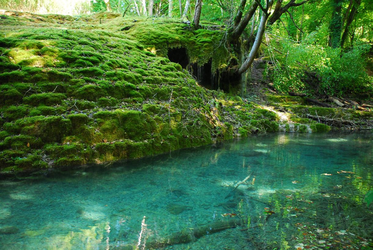
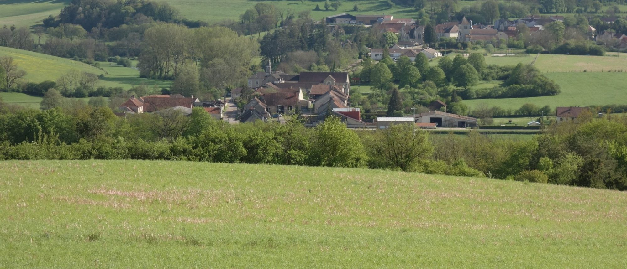
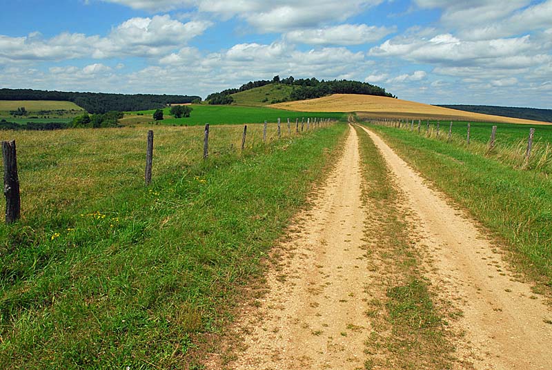
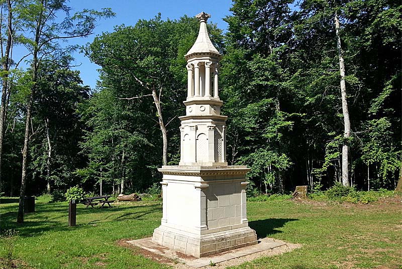
Pretty hike between the villages of Villiers-sur-Suize and Faverolles. Between fields and forests, the path passes in particular in front of the exhibition site of the Gallo-Roman mausoleum of Faverolles, which can be visited.

Already more than 200,000 users!
Uphill
256m
Highest point
441m
Downhill
256m
Lowest point
325m
Route type
Loop
Download the map on your smartphone to save battery and rest assured to always keep access to the route, even without signal.
Includes IGN France and Swisstopo.
I indicate whether dogs are allowed or prohibited on this trail
All year
0 ratings
Also enjoy:

Already more than 200,000 users!