Uphill
41m
Length
7km
Duration
2h
Elev gain
41m
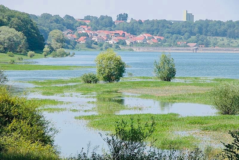
Pretty family walk located in the town of Perrancey-les-Vieux-Moulins. The course goes around Lac de la Mouche and offers beautiful views of it.

Already more than 200,000 users!
Uphill
41m
Highest point
376m
Downhill
41m
Lowest point
344m
Route type
Loop
Download the map on your smartphone to save battery and rest assured to always keep access to the route, even without signal.
Includes IGN France and Swisstopo.
I indicate whether dogs are allowed or prohibited on this trail
All year
0 ratings
Also enjoy:

Already more than 200,000 users!


