Uphill
234m
Length
11km
Duration
3h30min
Elev gain
234m
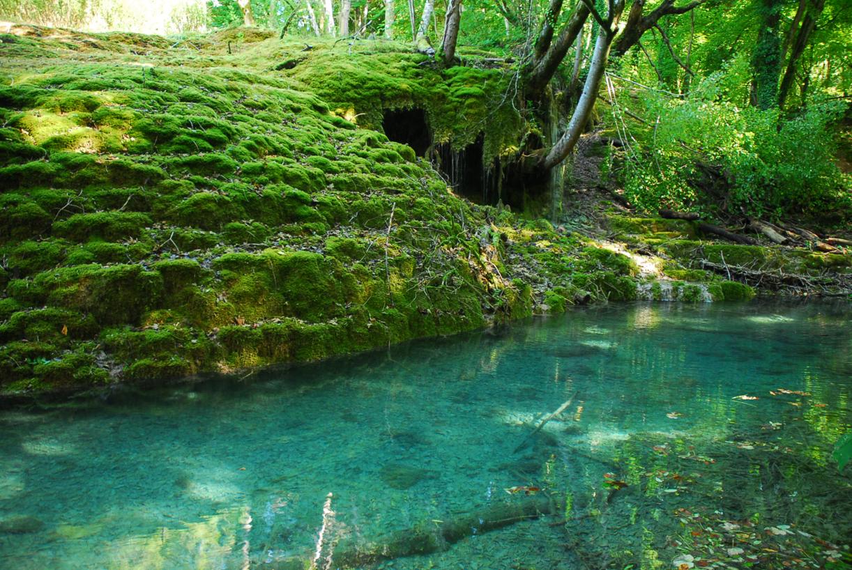
This walk allows you to discover a must-see in the area: the Rolampont tufière. It is a classified natural site, where water laden with limestone flows through mosses which it petrifies little by little, thus creating tufa formations.
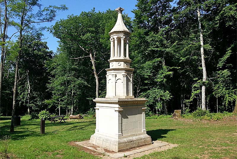
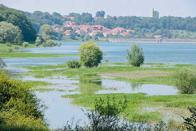
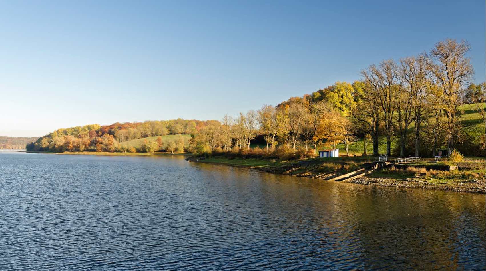
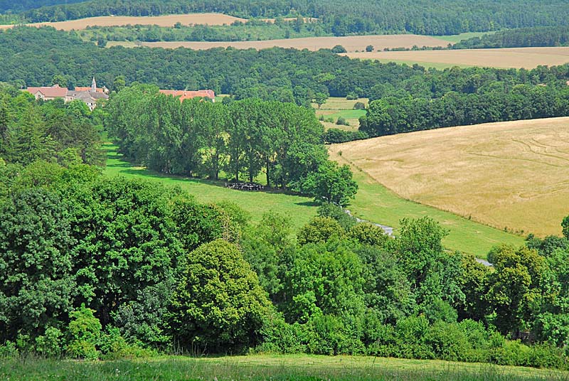
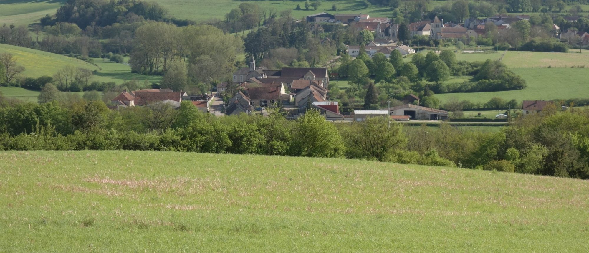
After discovering this remarkable ecosystem, the path evolves between fields and forest and passes through Faverolles.

Already more than 200,000 users!
Uphill
234m
Highest point
456m
Downhill
234m
Lowest point
341m
Route type
Loop
Download the map on your smartphone to save battery and rest assured to always keep access to the route, even without signal.
Includes IGN France and Swisstopo.
I indicate whether dogs are allowed or prohibited on this trail
All year
0 ratings
Also enjoy:

Already more than 200,000 users!