Uphill
214m
Length
18km
Duration
5h
Elev gain
214m
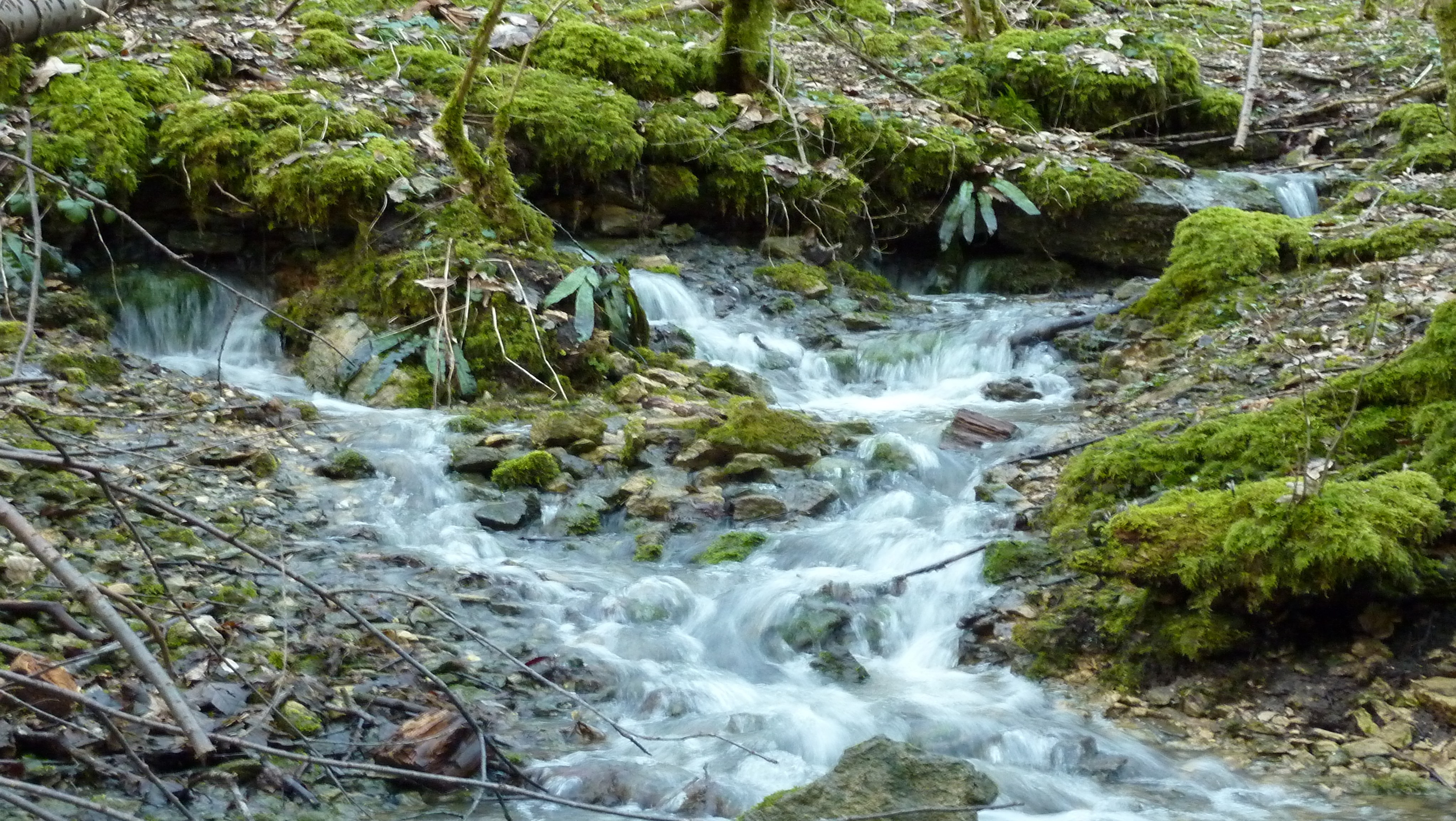
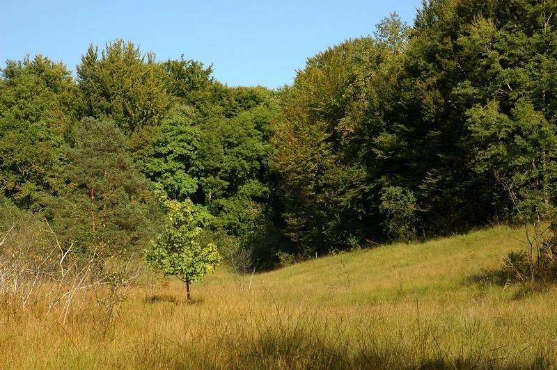
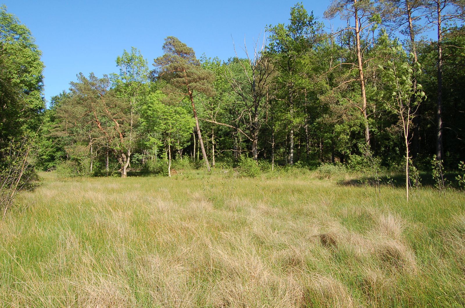
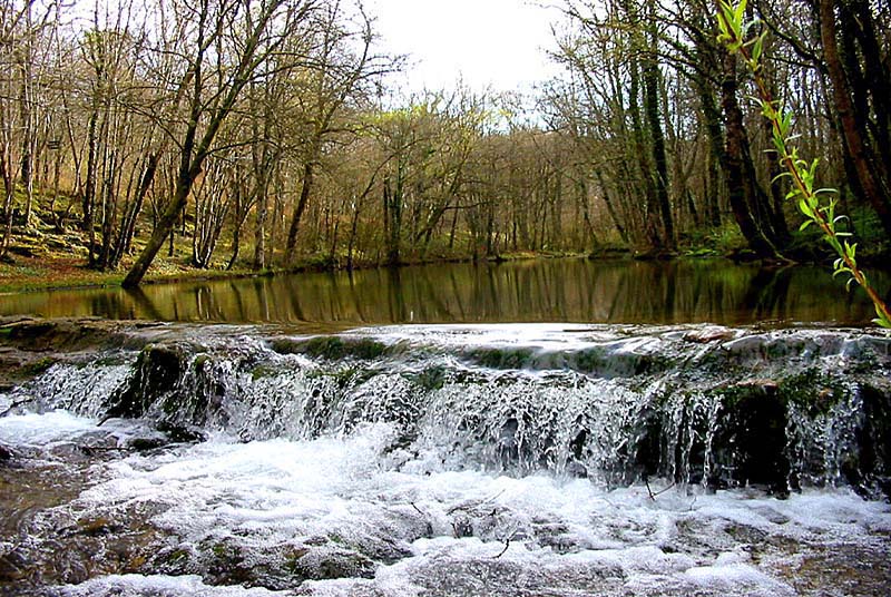
Here is a nice walk near Aujeurres. The route makes a loop mainly in the forest, then joins the Aube to follow it for a while before returning to the starting point through the woods.

Already more than 200,000 users!
Uphill
214m
Highest point
513m
Downhill
214m
Lowest point
365m
Route type
Loop
Download the map on your smartphone to save battery and rest assured to always keep access to the route, even without signal.
Includes IGN France and Swisstopo.
I indicate whether dogs are allowed or prohibited on this trail
All year
0 ratings
Also enjoy:

Already more than 200,000 users!