Uphill
149m
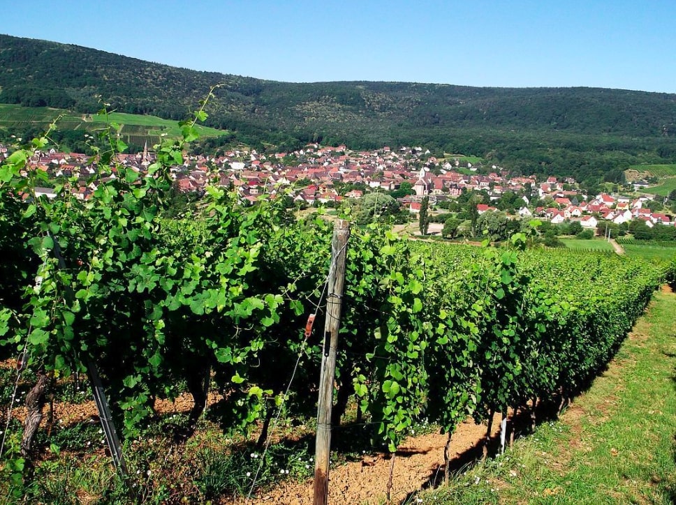
France > Grand Est > Haut-Rhin > Ballons des Vosges Regional Natural Park
Length
4km
Duration
1h30min
Elev gain
149m
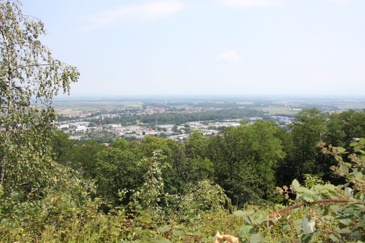
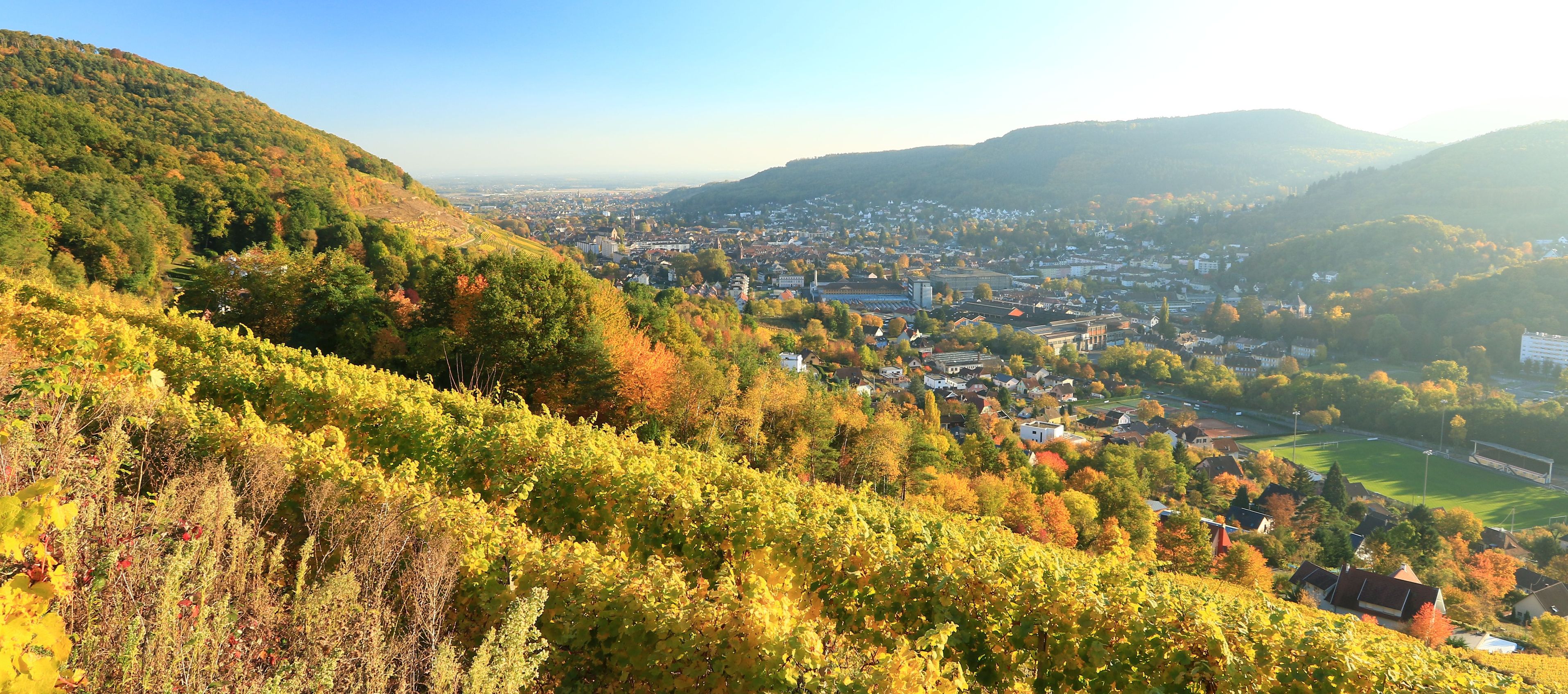
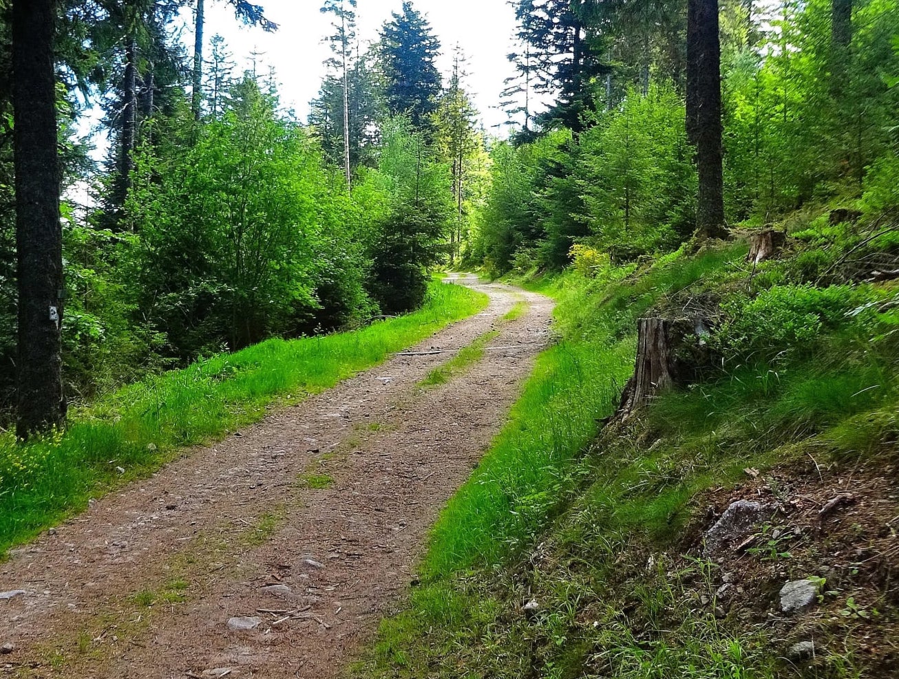
A short family-friendly walk on the Axwald forest path. The marked trail winds between the trees, on the heights of Guebwiller.

Already more than 200,000 users!
Uphill
149m
Highest point
528m
Downhill
149m
Lowest point
373m
Route type
Loop
Download the map on your smartphone to save battery and rest assured to always keep access to the route, even without signal.
Includes IGN France and Swisstopo.
I indicate whether dogs are allowed or prohibited on this trail
All year
2 ratings
Also enjoy:

Already more than 200,000 users!