Uphill
420m
France > Grand Est > Haut-Rhin > Ballons des Vosges Regional Natural Park
Length
11km
Duration
4h
Elev gain
420m
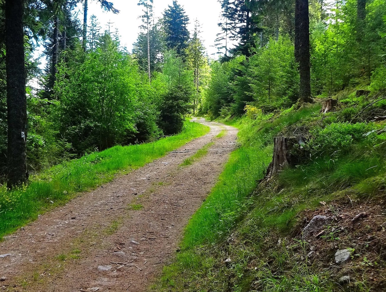
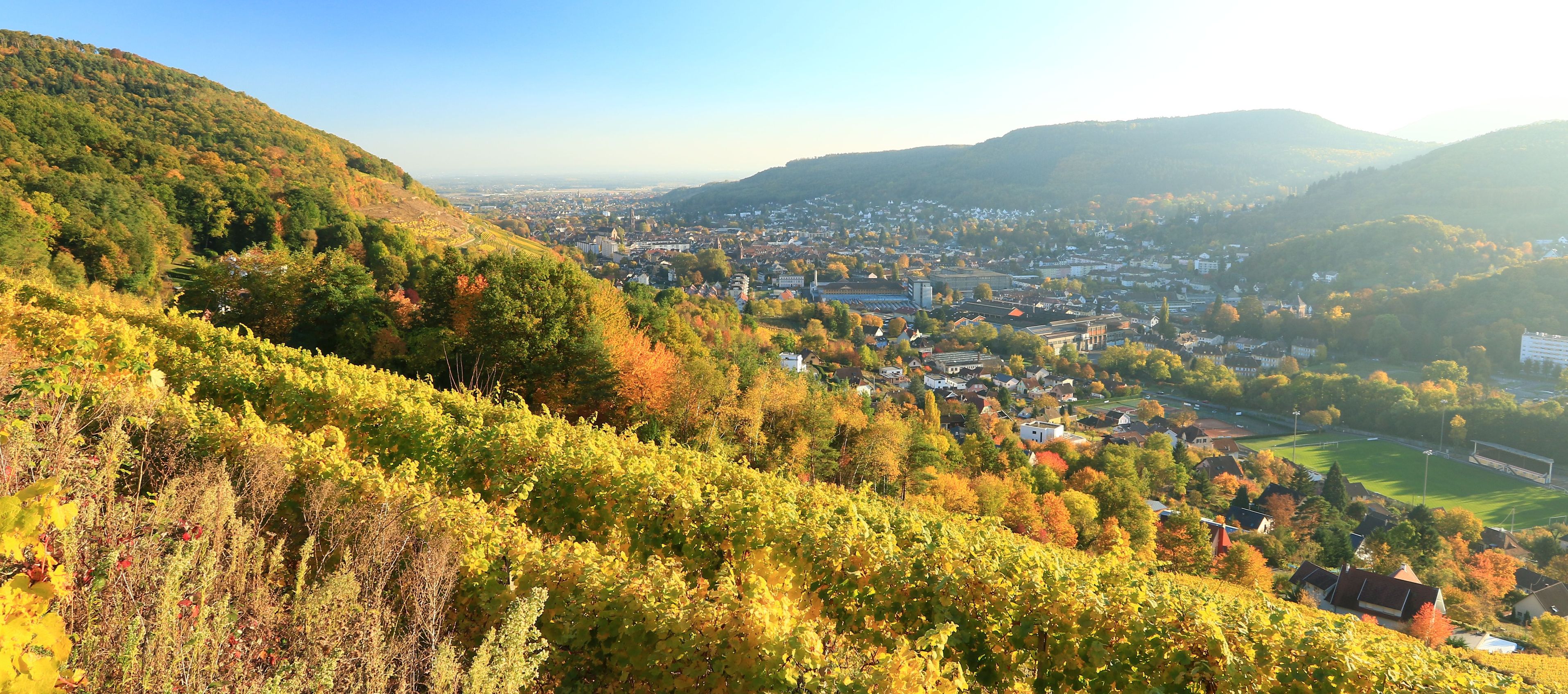
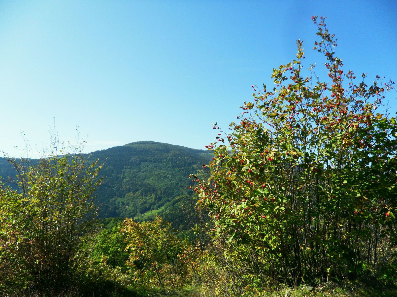
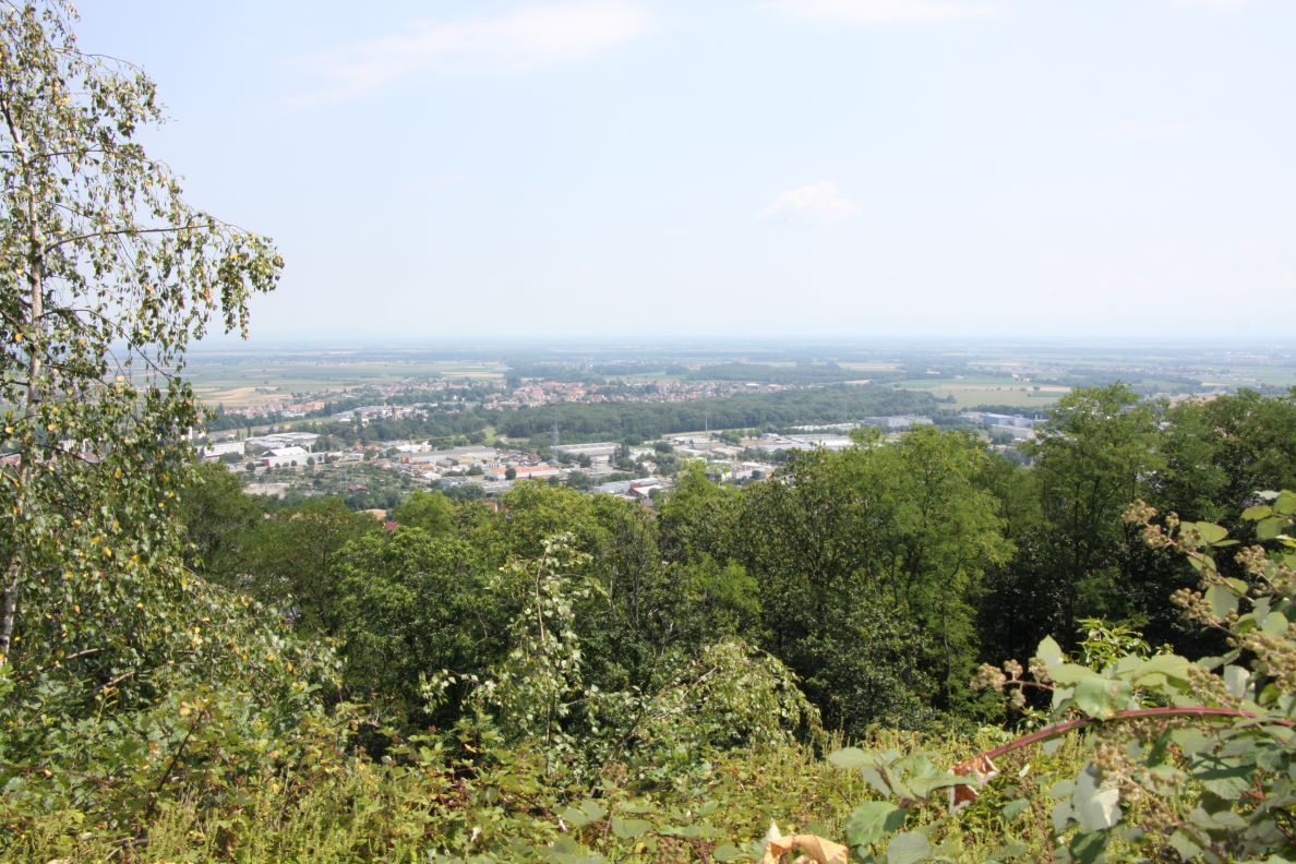
From Jungholtz, here is a hike leading to the Rehbrunnenkopf (632 m) via the Peternit pass, the nose of Soultz and the way to Saint-Jacques.
The trail is mainly in the forest, except at the end where it crosses vineyards.

Already more than 200,000 users!
Uphill
420m
Highest point
632m
Downhill
420m
Lowest point
312m
Route type
Loop
Download the map on your smartphone to save battery and rest assured to always keep access to the route, even without signal.
Includes IGN France and Swisstopo.
I indicate whether dogs are allowed or prohibited on this trail
All year
0 ratings
Also enjoy:

Already more than 200,000 users!