Uphill
395m
France > Grand Est > Haut-Rhin > Ballons des Vosges Regional Natural Park
Length
7km
Duration
3h
Elev gain
395m
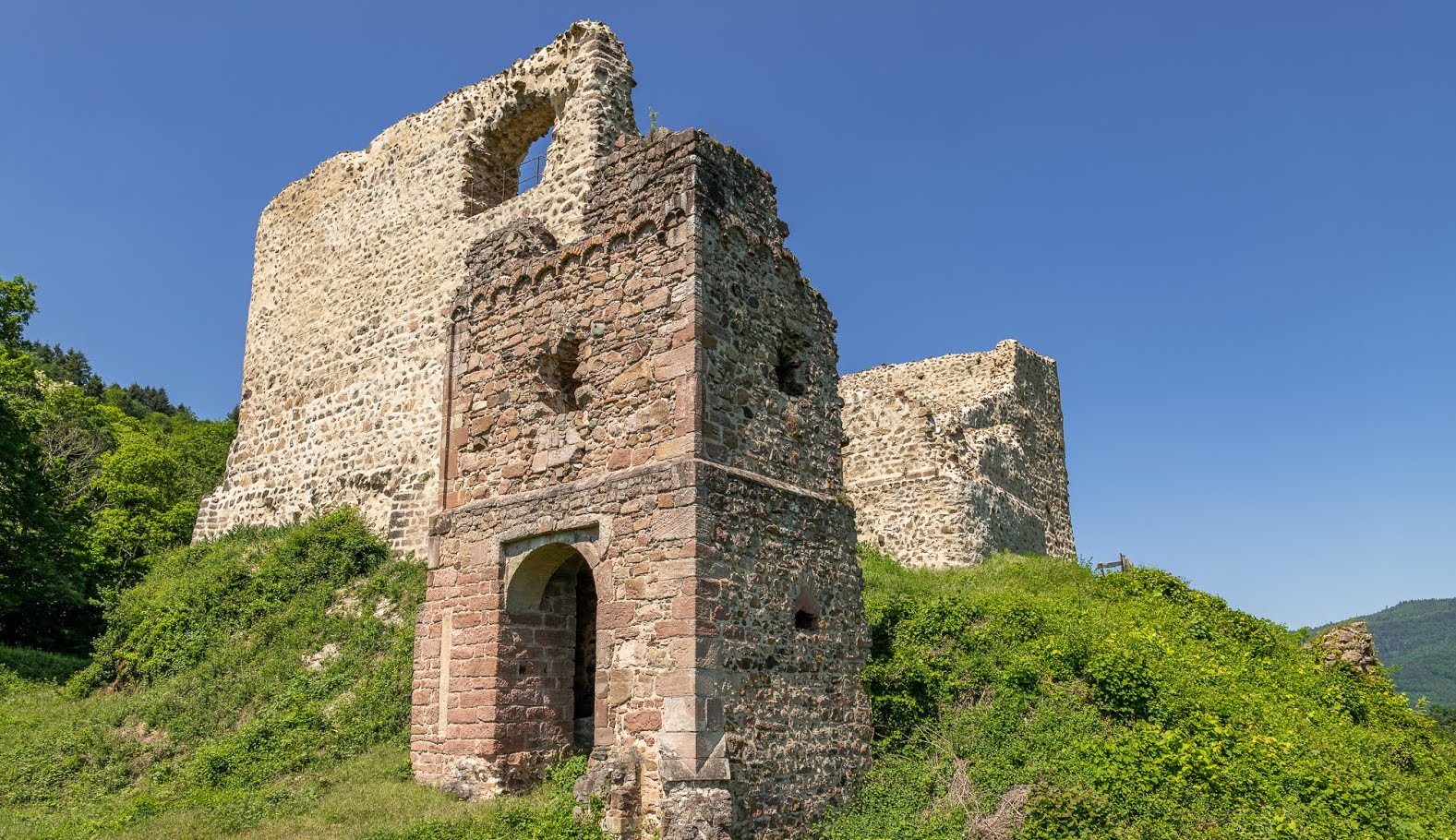
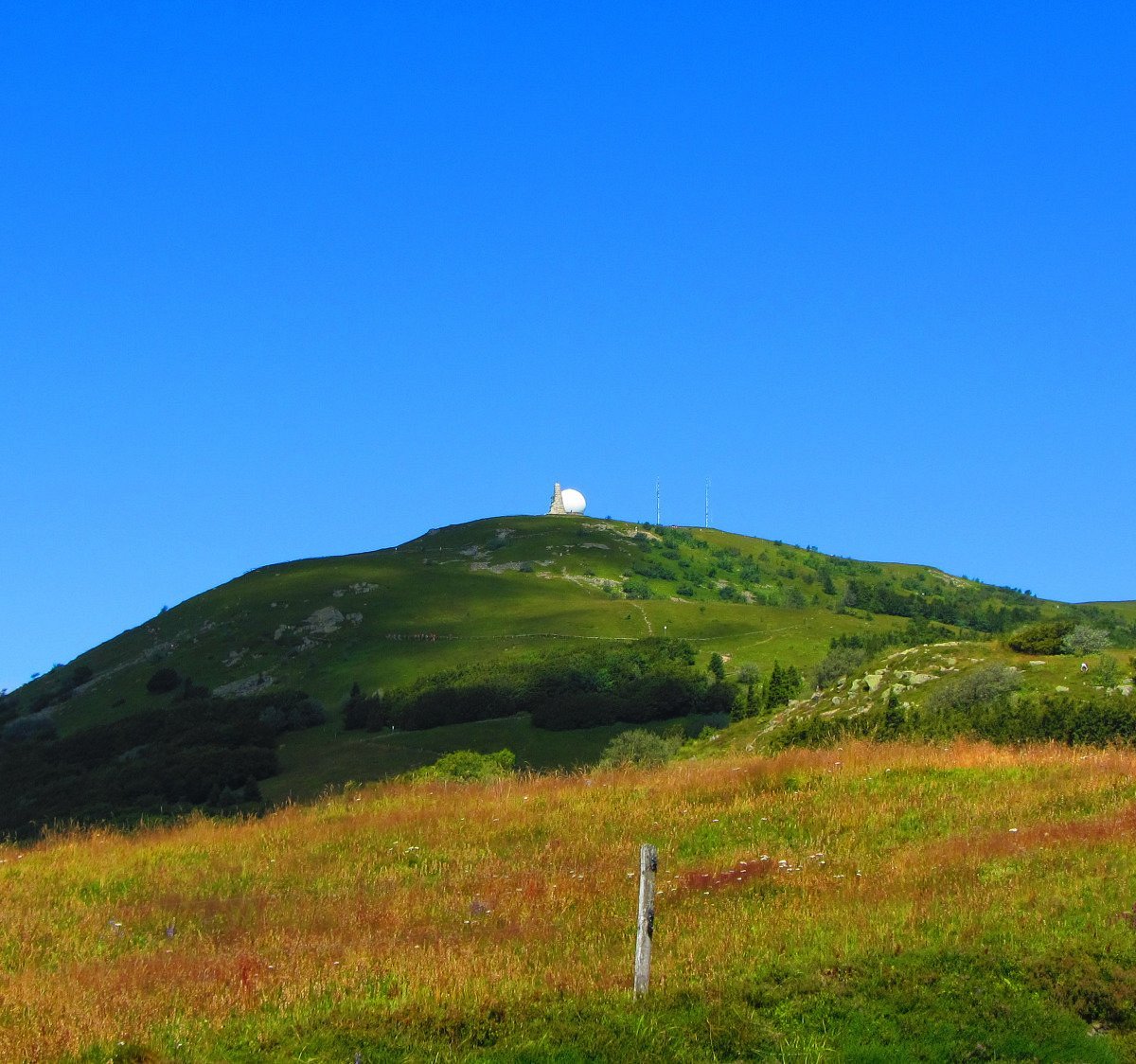
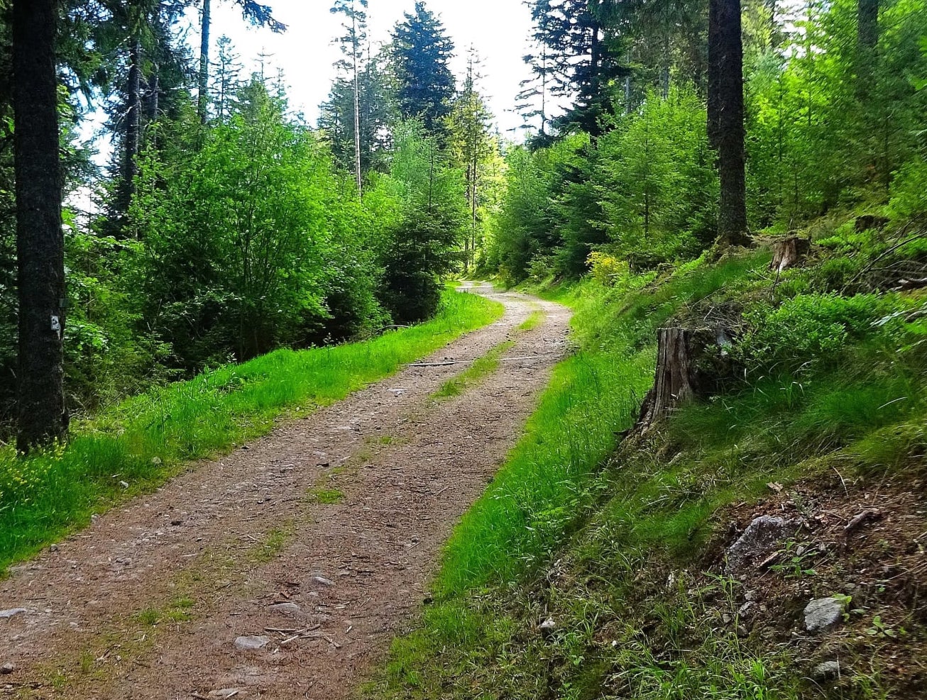
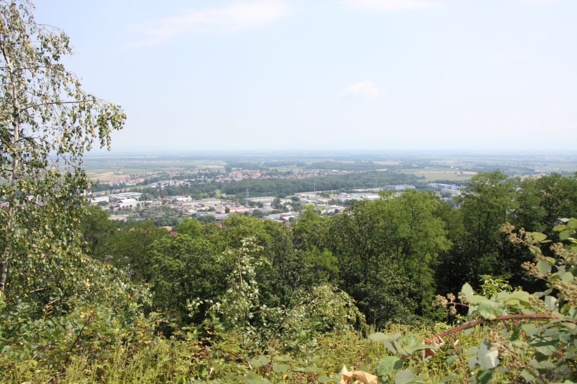
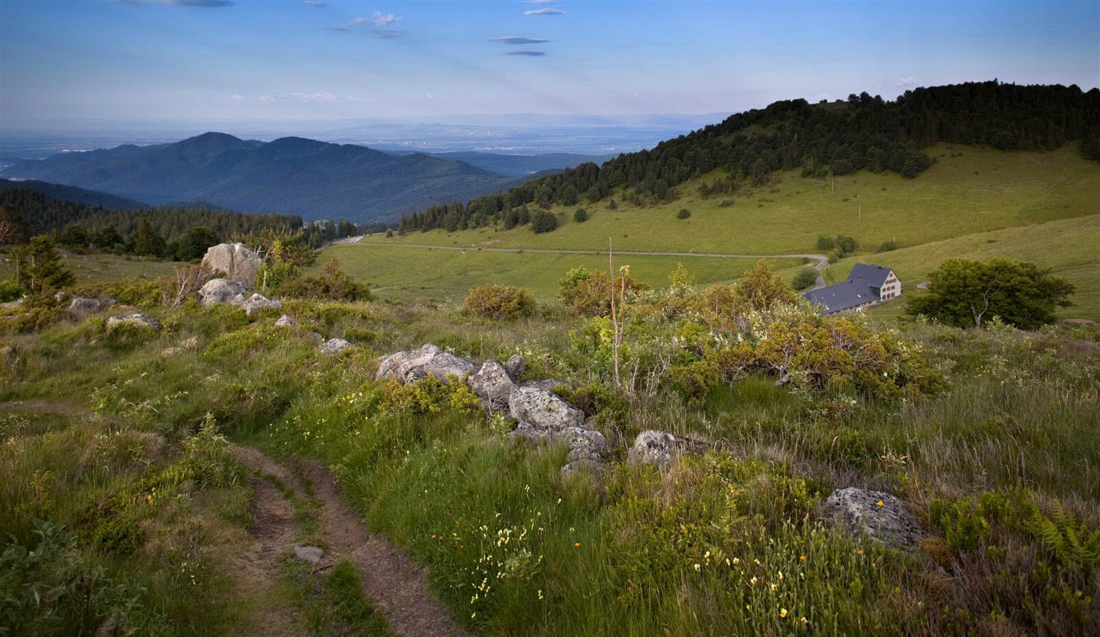
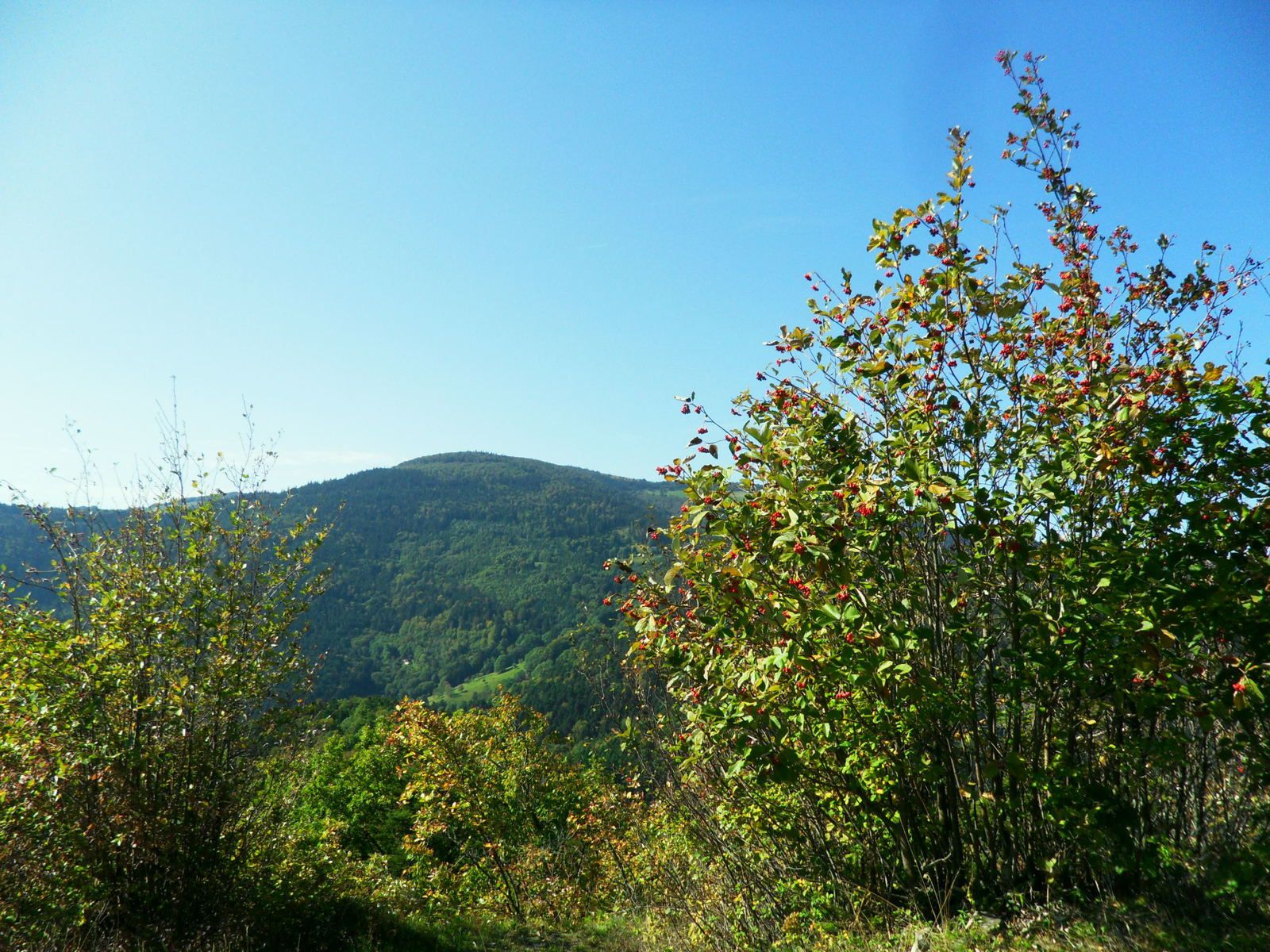
Challenging hike in the Murbach valley, leading to the ruins of an ancient castle, the Hohrupf. On the outward journey, the path passes in front of the Notre-Dame de Lorette chapel before reaching the summit of Hohrupf, from where the panorama is spectacular.
Note that the starting point is near the very beautiful abbey of Murbach, made of pink sandstone.

Already more than 200,000 users!
Uphill
395m
Highest point
791m
Downhill
395m
Lowest point
431m
Route type
Loop
Download the map on your smartphone to save battery and rest assured to always keep access to the route, even without signal.
Includes IGN France and Swisstopo.
I indicate whether dogs are allowed or prohibited on this trail
All year
1 rating
Also enjoy:

Already more than 200,000 users!