Uphill
627m
France > Grand Est > Haut-Rhin > Ballons des Vosges Regional Natural Park
Length
14km
Duration
5h
Elev gain
627m
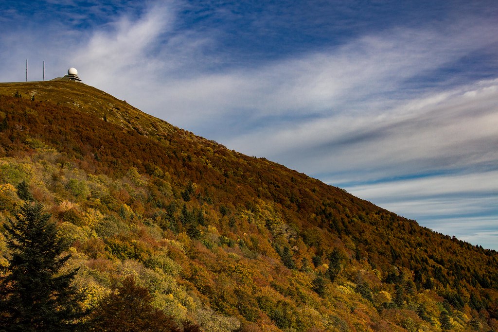
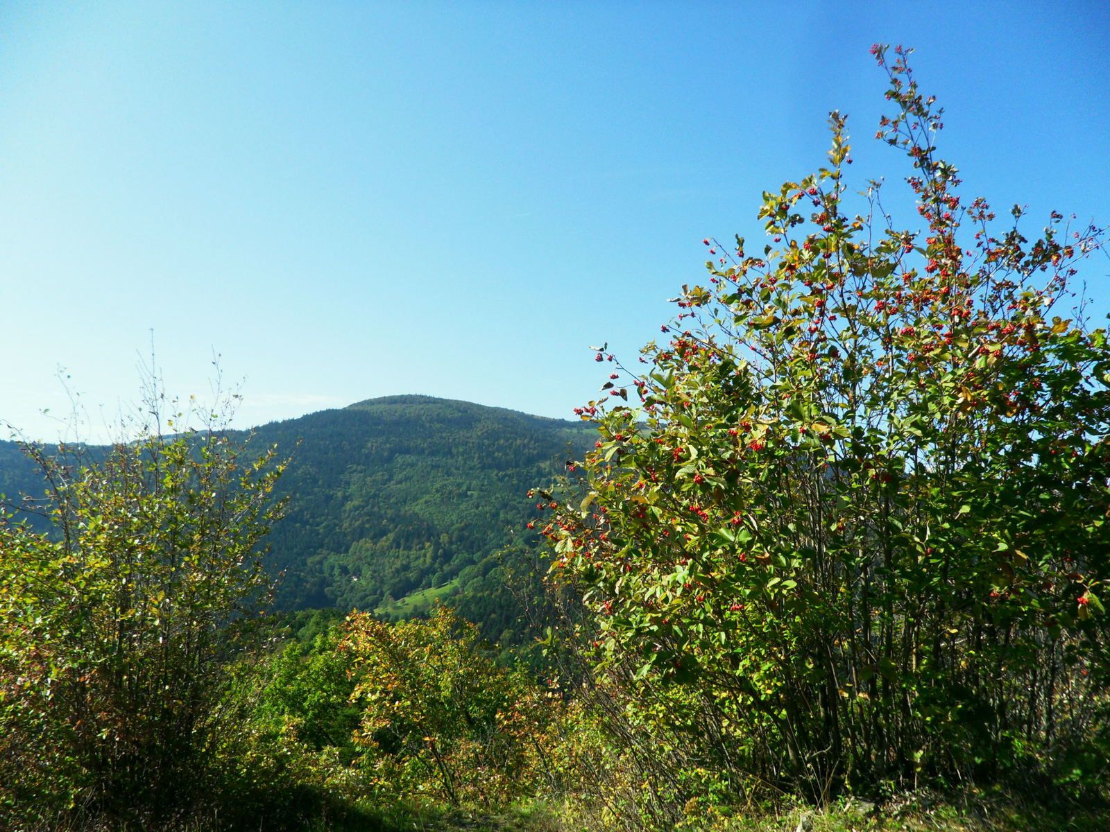
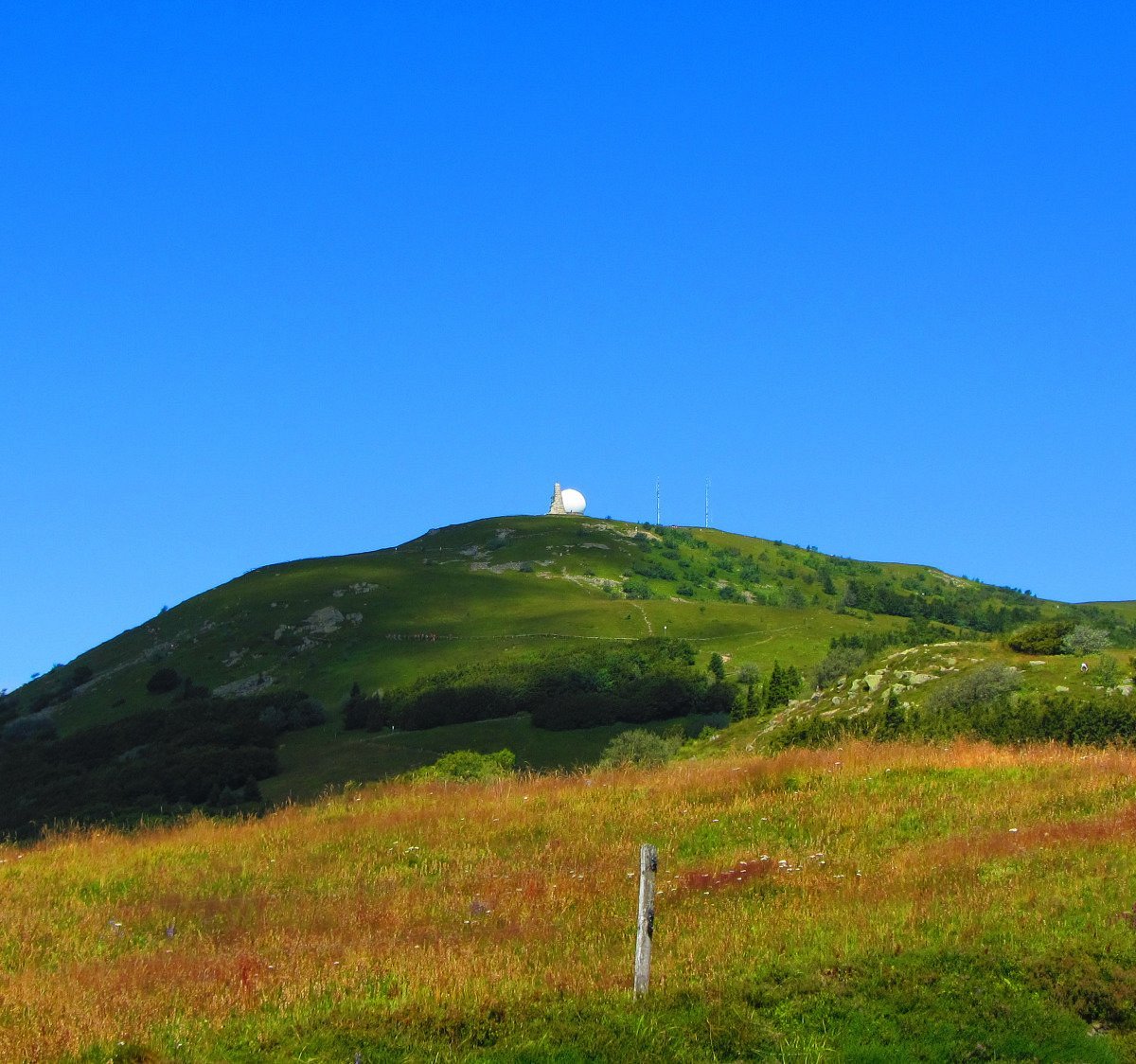
Starting from the Glashütte refuge, this hike makes a loop around the Grand Ballon. The views are superb, both on the Vosges chain, the plain of Alsace and the Black Forest.
This course is long, but it can be embellished with breaks because it passes by several inns.

Already more than 200,000 users!
Uphill
627m
Highest point
1350m
Downhill
627m
Lowest point
822m
Route type
Loop
Download the map on your smartphone to save battery and rest assured to always keep access to the route, even without signal.
Includes IGN France and Swisstopo.
I indicate whether dogs are allowed or prohibited on this trail
Can be difficult in Winter
1 rating
Also enjoy:

Already more than 200,000 users!