Uphill
716m
France > Grand Est > Haut-Rhin > Ballons des Vosges Regional Natural Park
Length
19km
Duration
6h30min
Elev gain
716m
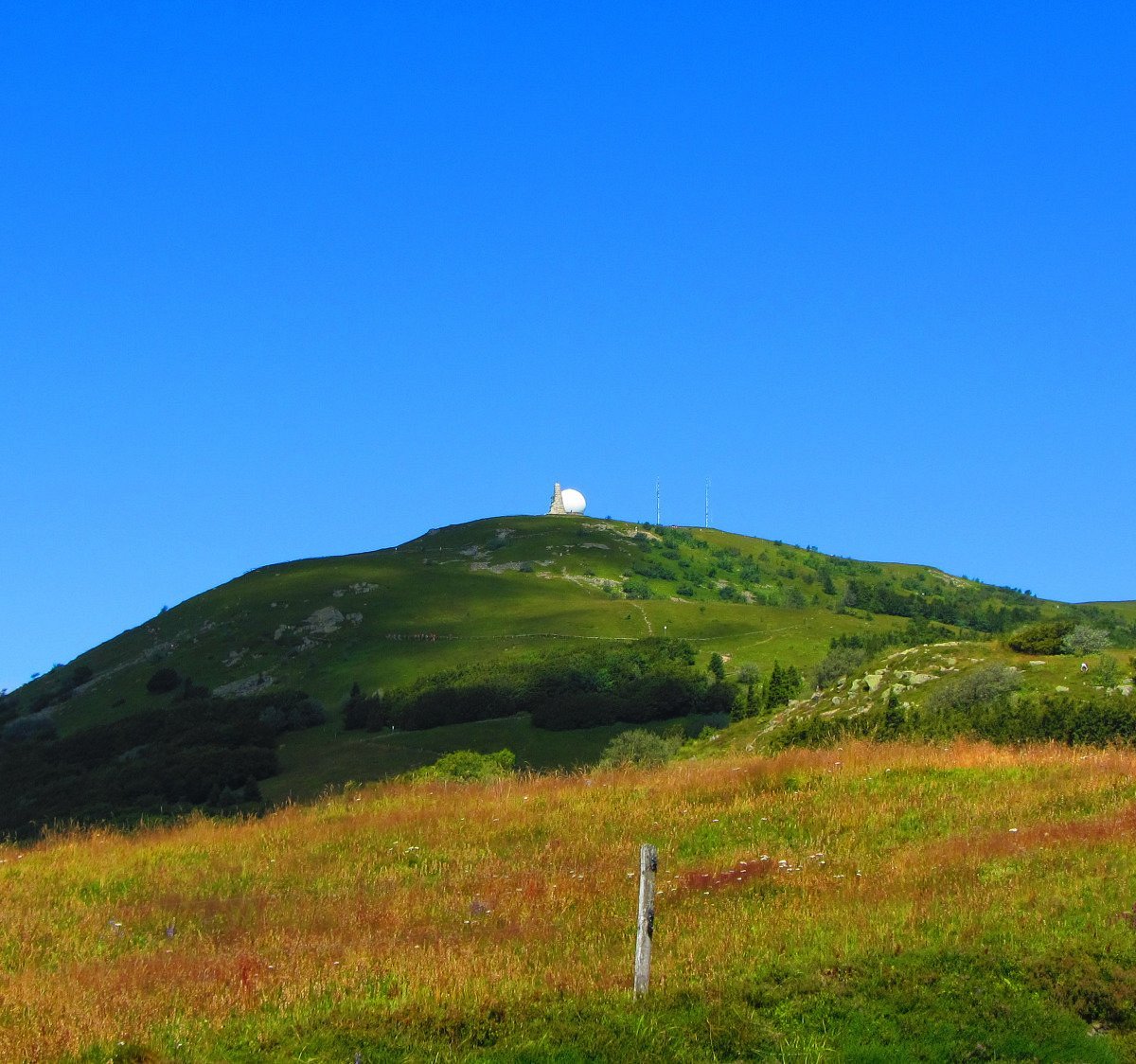
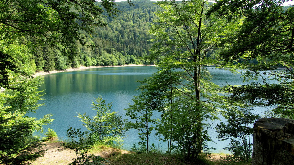
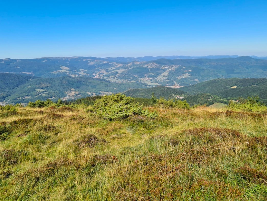
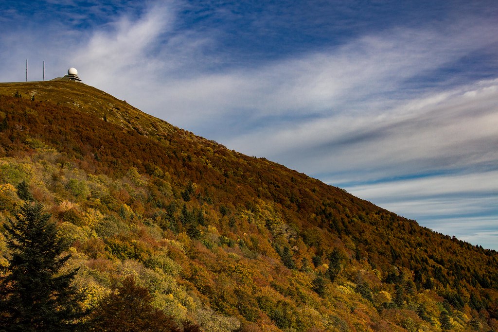
This loop hike goes through the highest peak in the Vosges: the Grand Ballon (1423 meters). The panorama is of course exceptional, over Alsace, the Black Forest and the Jura. The path takes several passes, and runs along the pretty Lac du Ballon.

Already more than 200,000 users!
Uphill
716m
Highest point
1411m
Downhill
716m
Lowest point
922m
Route type
Loop
Download the map on your smartphone to save battery and rest assured to always keep access to the route, even without signal.
Includes IGN France and Swisstopo.
Forbidden
Can be difficult in Winter
4 ratings
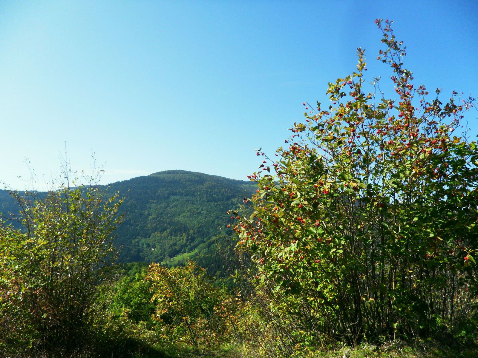
I found it an easier trail than expected, beautiful sights specially in autumn with all the colors of the trees, the plains and the foggy weather at times. Easy to do without equipment and there are two restaurants on the way, one just beside the ballon and the other at 15km, so I recommend to take snacks with you.
Also enjoy:

Already more than 200,000 users!