Uphill
136m
France > Grand Est > Haut-Rhin > Ballons des Vosges Regional Natural Park
Length
3km
Duration
1h
Elev gain
136m
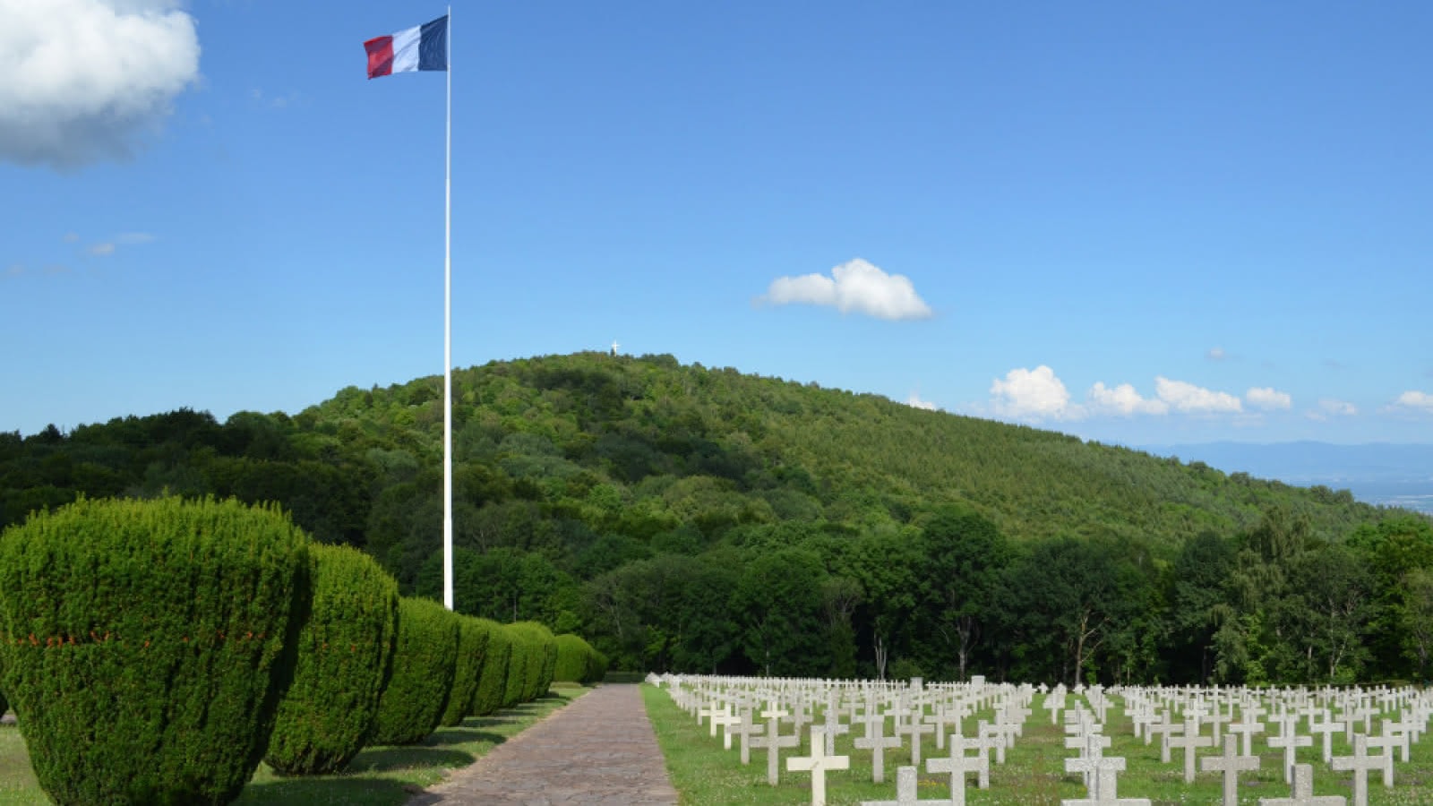
This route begins at the Hartmannswillerkopf military cemetery, renamed Vieil Armand after the First World War. The path then allows you to discover several places of memory, including a Vauthier marker that is part of a set of sculptures materializing the 1918 front.

Already more than 200,000 users!
Uphill
136m
Highest point
956m
Downhill
136m
Lowest point
889m
Route type
Loop
Download the map on your smartphone to save battery and rest assured to always keep access to the route, even without signal.
Includes IGN France and Swisstopo.
I indicate whether dogs are allowed or prohibited on this trail
Can be difficult in Winter
0 ratings
Also enjoy:

Already more than 200,000 users!


