Uphill
360m
France > Grand Est > Haut-Rhin > Ballons des Vosges Regional Natural Park
Length
6km
Duration
2h30min
Elev gain
360m
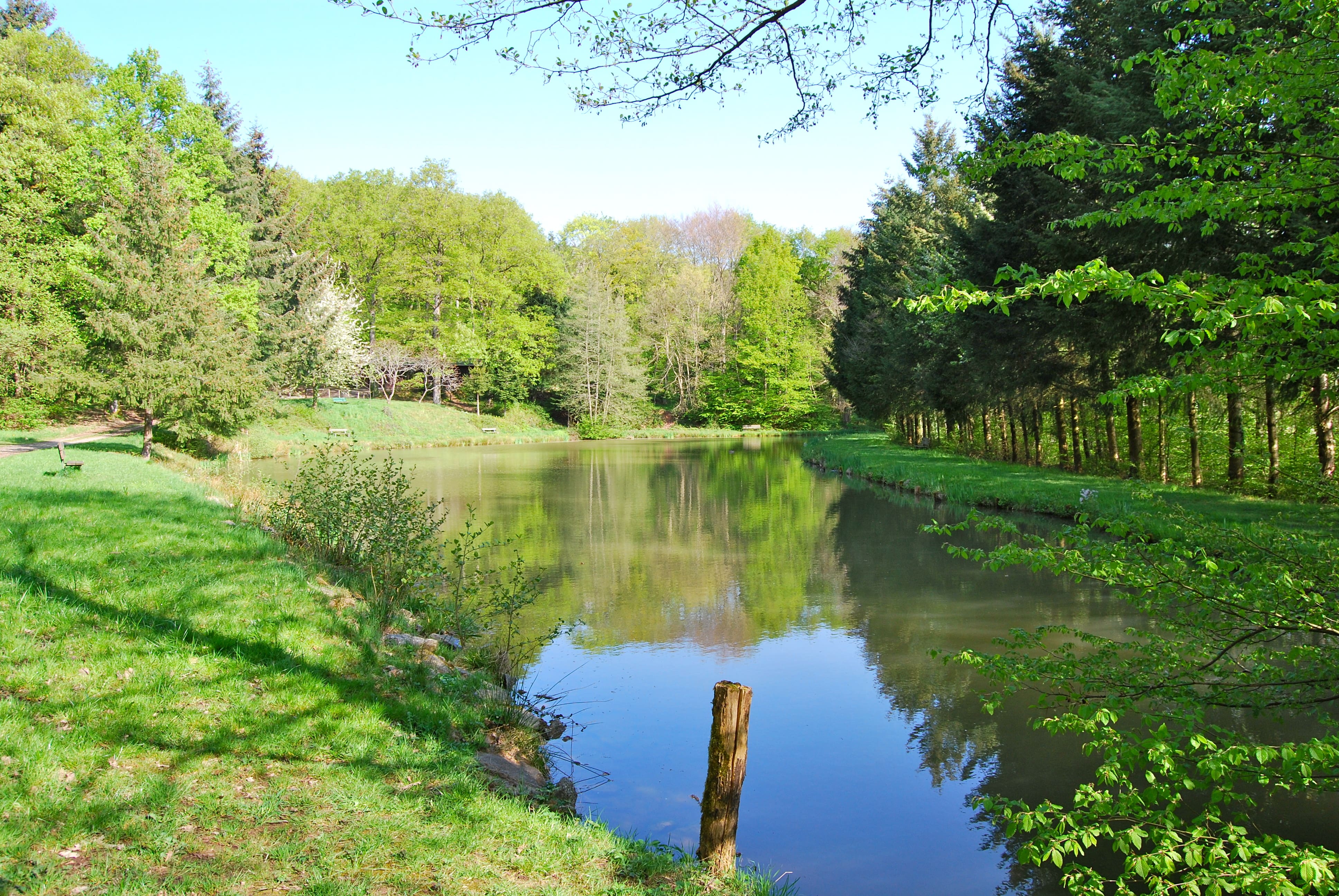
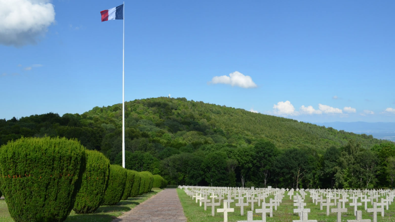
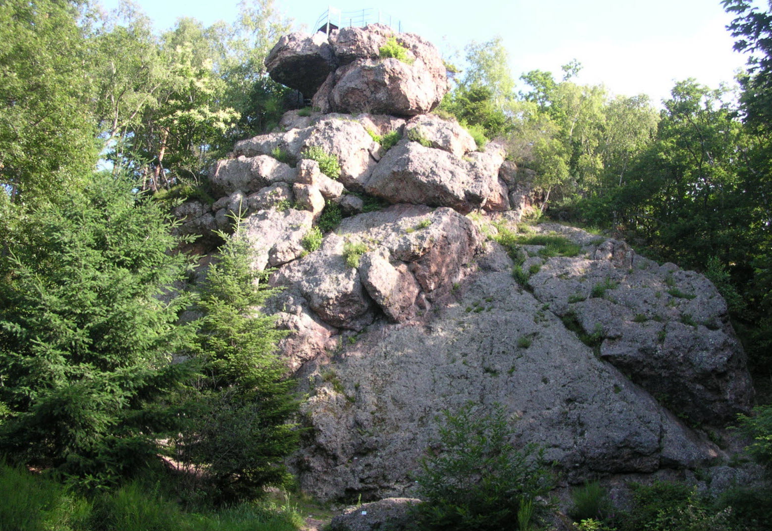
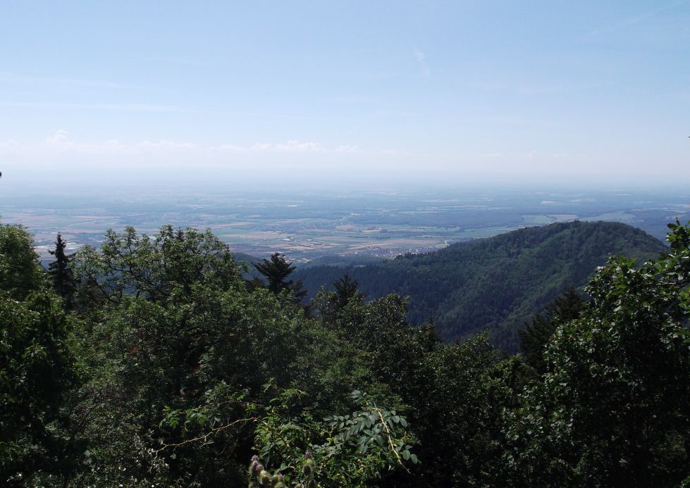
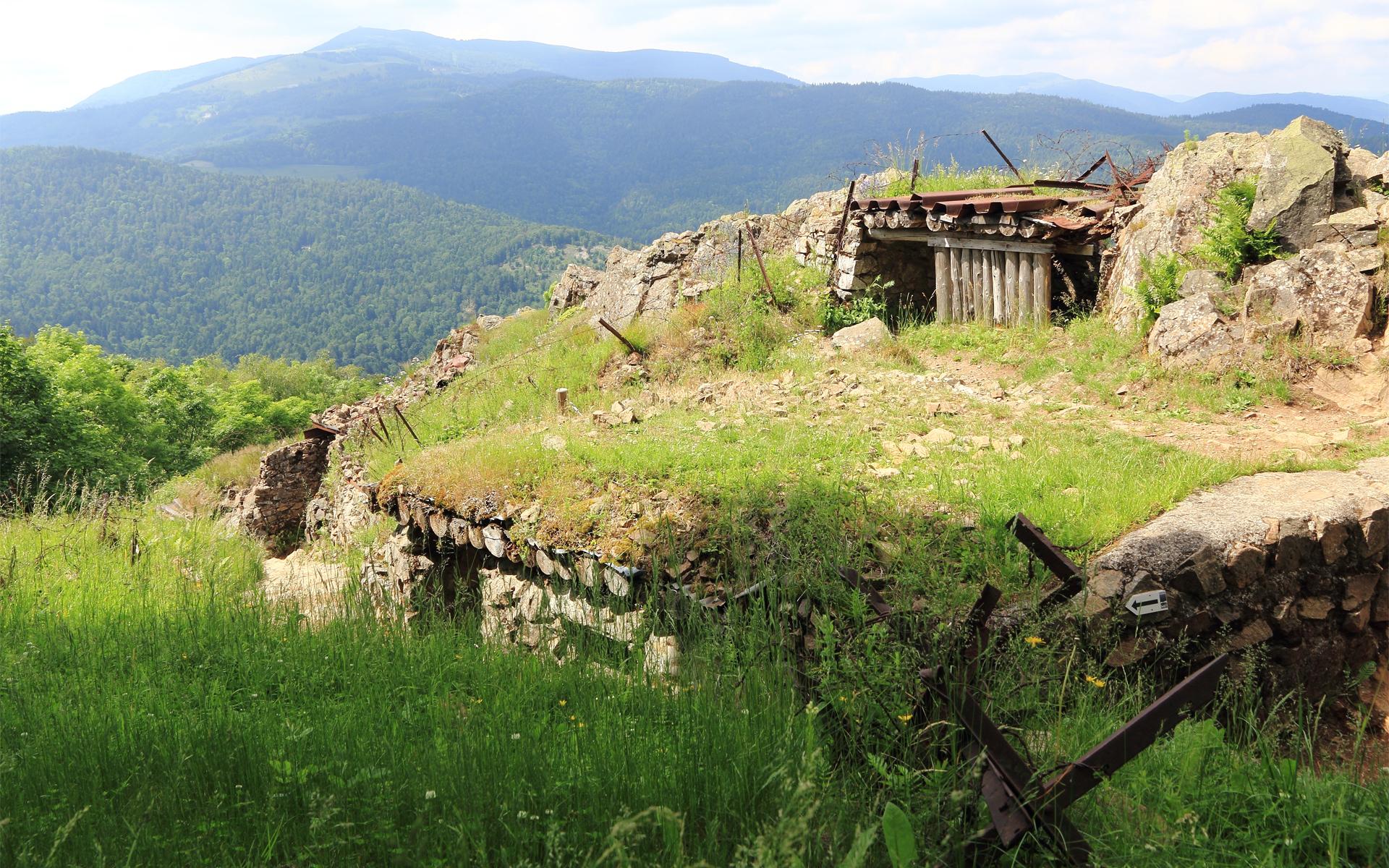
Starting from the Hirtz area, this route makes a loop in the middle of the remains of the First World War, on the Vieil-Armand site. A route rich in history, which offers beautiful views of the surroundings.

Already more than 200,000 users!
Uphill
360m
Highest point
871m
Downhill
360m
Lowest point
545m
Route type
Loop
Download the map on your smartphone to save battery and rest assured to always keep access to the route, even without signal.
Includes IGN France and Swisstopo.
2 ratings
Also enjoy:

Already more than 200,000 users!