Uphill
416m
Length
7km
Duration
3h
Elev gain
416m
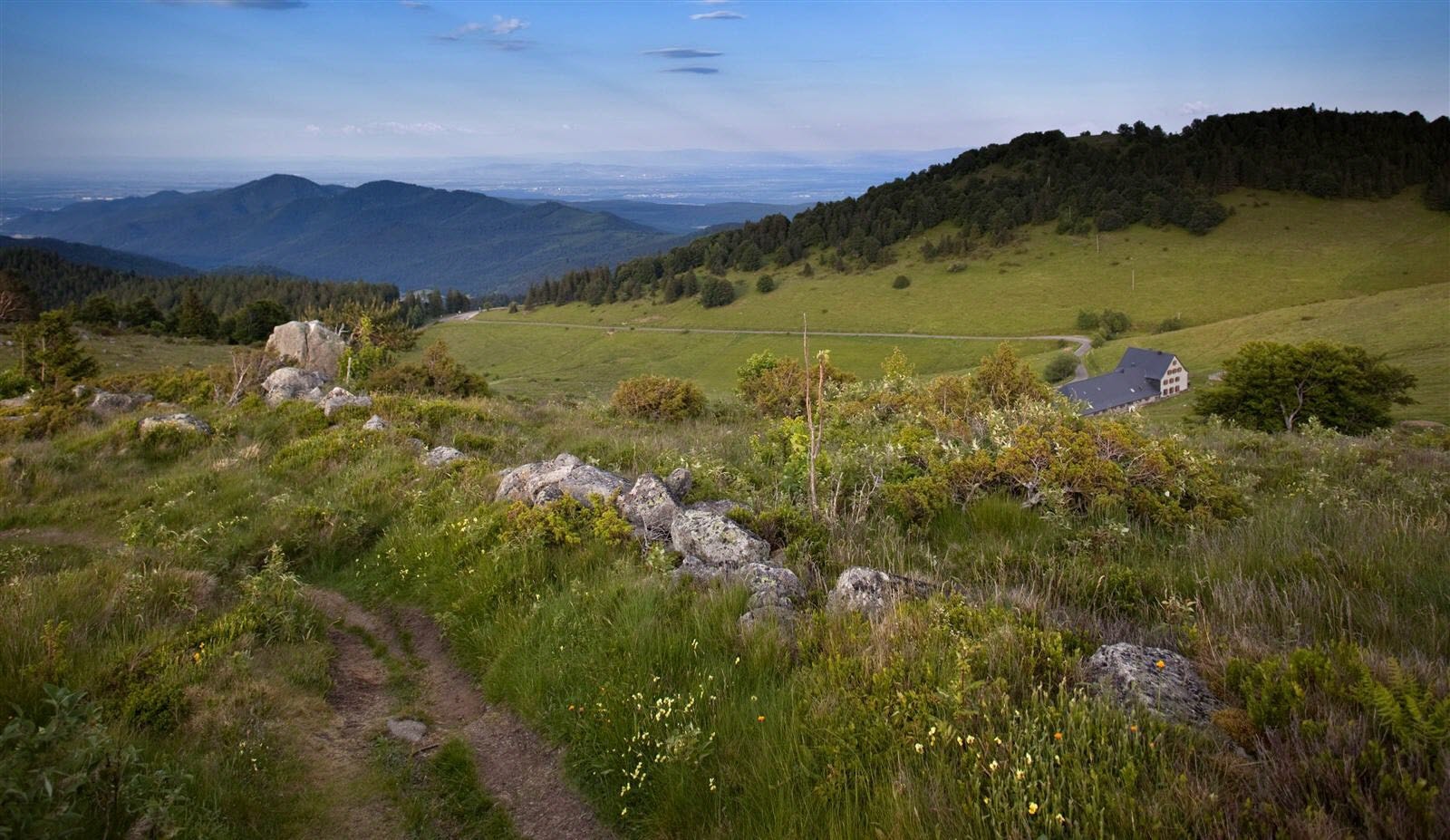
Here is a very nice hike starting from the Boenlesgrab inn. The trail leads to the Petit Ballon d'Aslace, 1,272 meters above sea level, where the 360° view is superb. On the way back, the trail takes the Chemin du Ruhfelsen to reach the starting point.

Already more than 200,000 users!
Uphill
416m
Highest point
1269m
Downhill
416m
Lowest point
867m
Route type
Loop
Download the map on your smartphone to save battery and rest assured to always keep access to the route, even without signal.
Includes IGN France and Swisstopo.
I indicate whether dogs are allowed or prohibited on this trail
Can be difficult in Winter
0 ratings
Also enjoy:

Already more than 200,000 users!


