Uphill
477m
France > Grand Est > Haut-Rhin > Ballons des Vosges Regional Natural Park
Length
12km
Duration
4h30min
Elev gain
477m
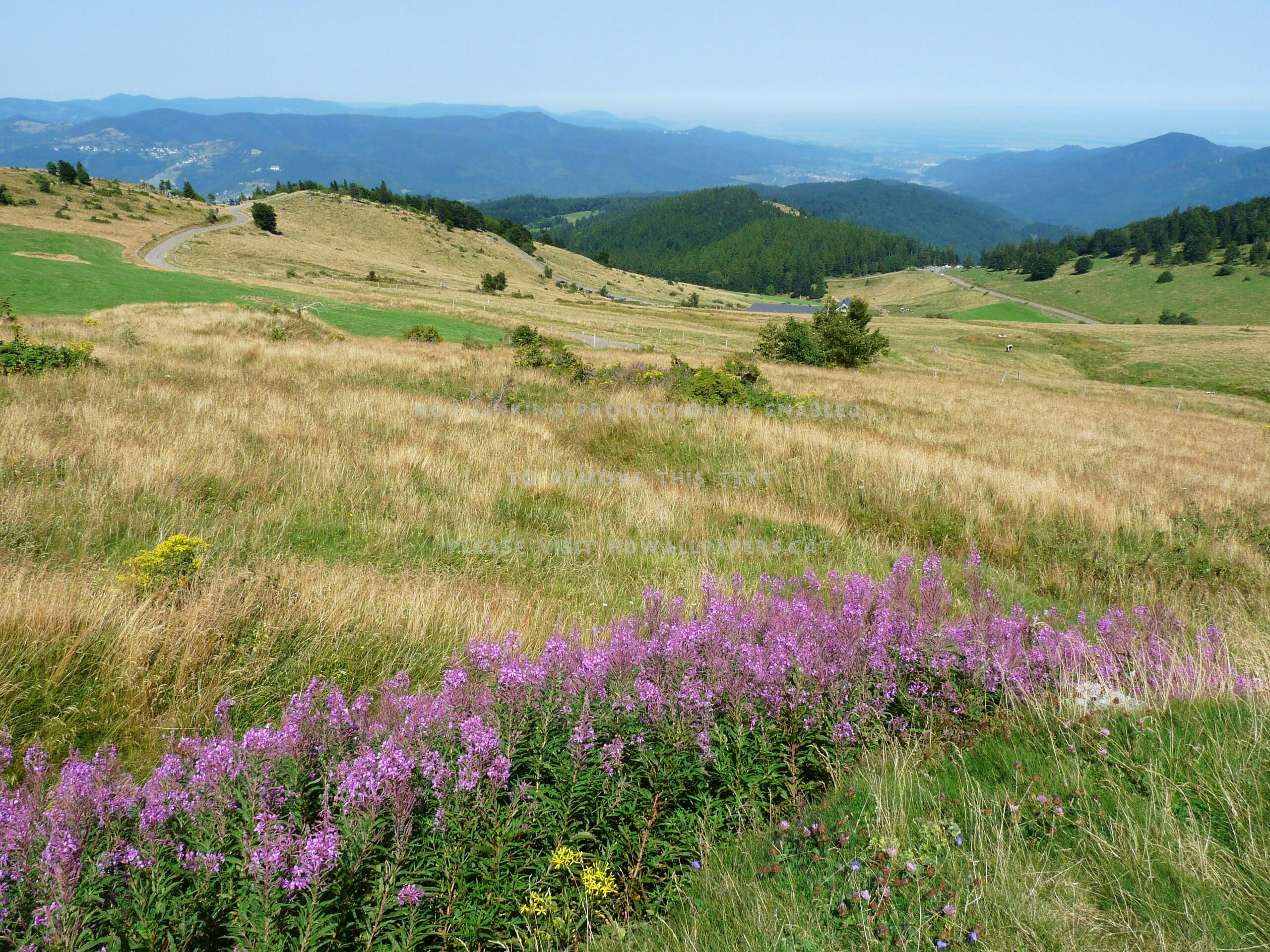
Departing from Stemlisberg, this hike climbs to Petit Ballon, at an altitude of 1,272 metres. On the outward journey, the path crosses the Col du Petit Ballon then leads to the Petit Ballon and its weather station. The return to the starting point passes through the Emile Hertzog belvedere.
Beautiful landscapes and viewpoints in perspective.

Already more than 200,000 users!
Uphill
477m
Highest point
1264m
Downhill
477m
Lowest point
860m
Route type
Loop
Download the map on your smartphone to save battery and rest assured to always keep access to the route, even without signal.
Includes IGN France and Swisstopo.
I indicate whether dogs are allowed or prohibited on this trail
Can be difficult in Winter
0 ratings
Also enjoy:

Already more than 200,000 users!


