Uphill
255m
France > Grand Est > Haut-Rhin > Ballons des Vosges Regional Natural Park
Length
7km
Duration
2h30min
Elev gain
255m
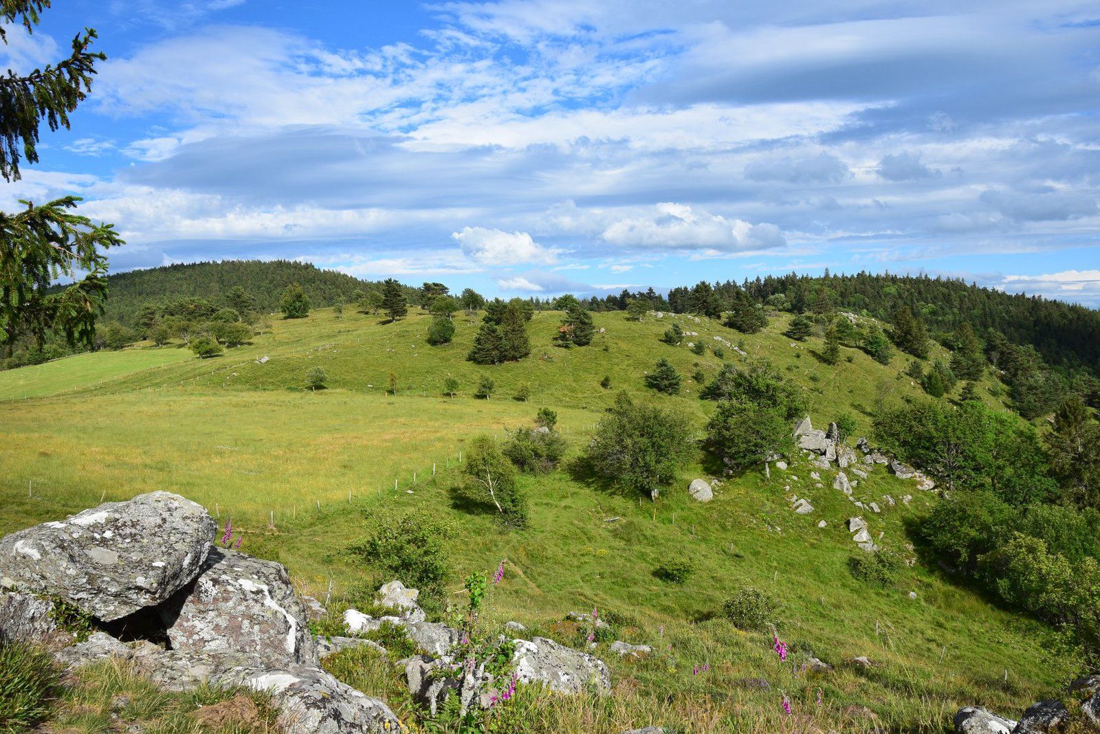
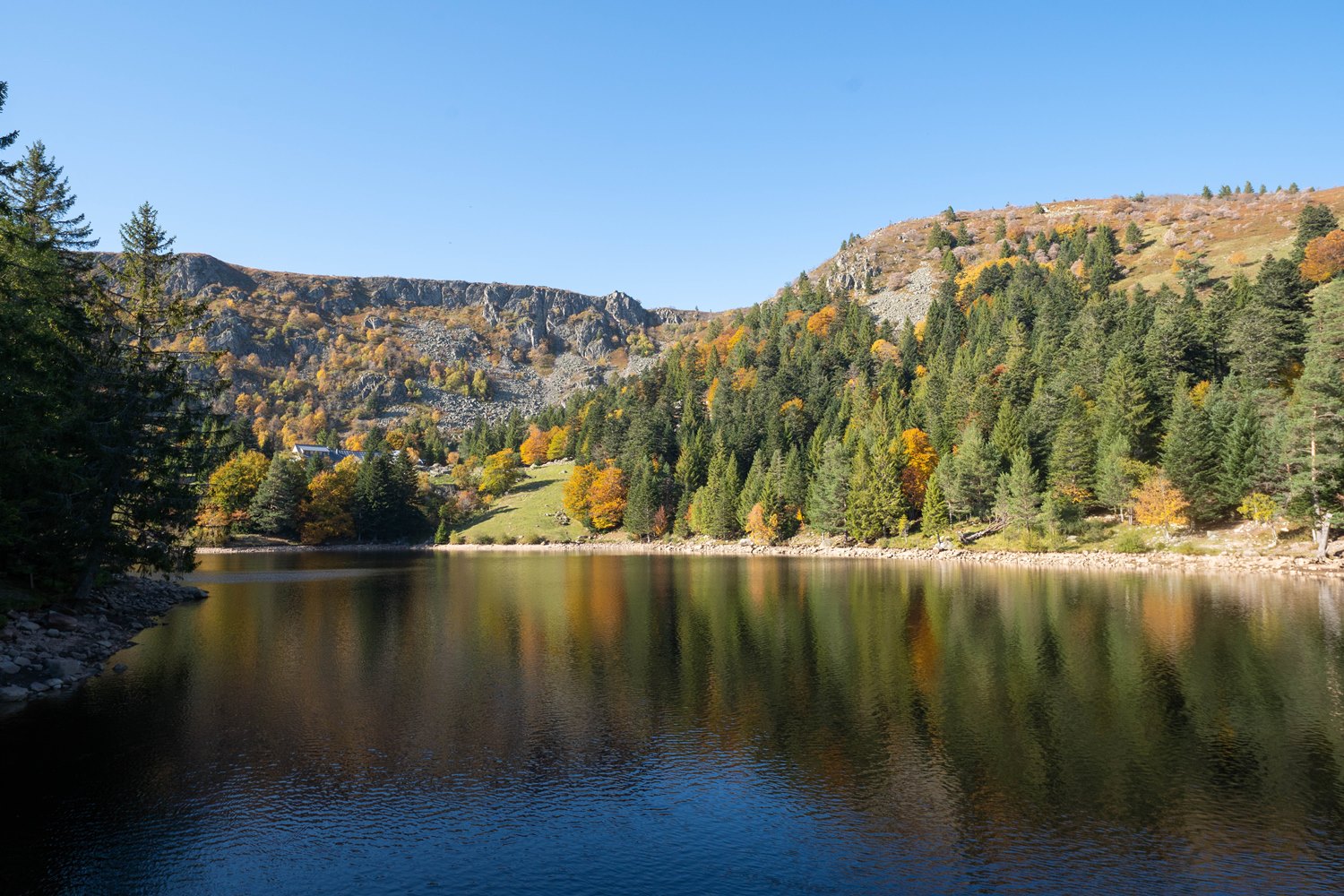
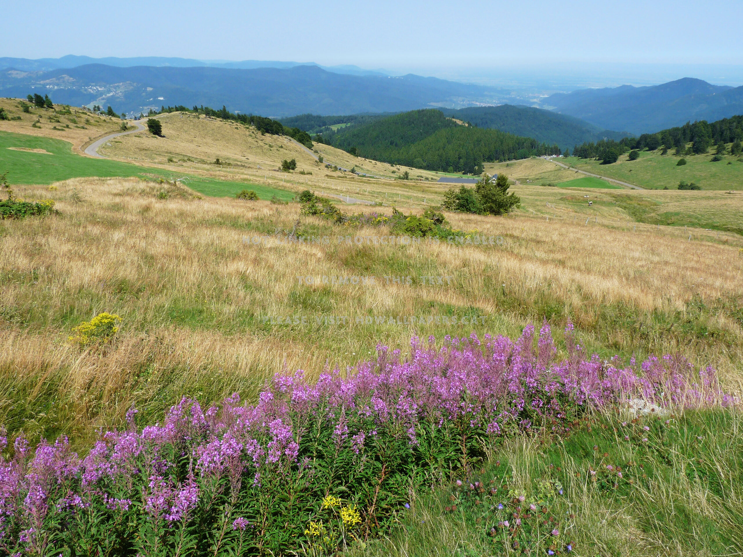
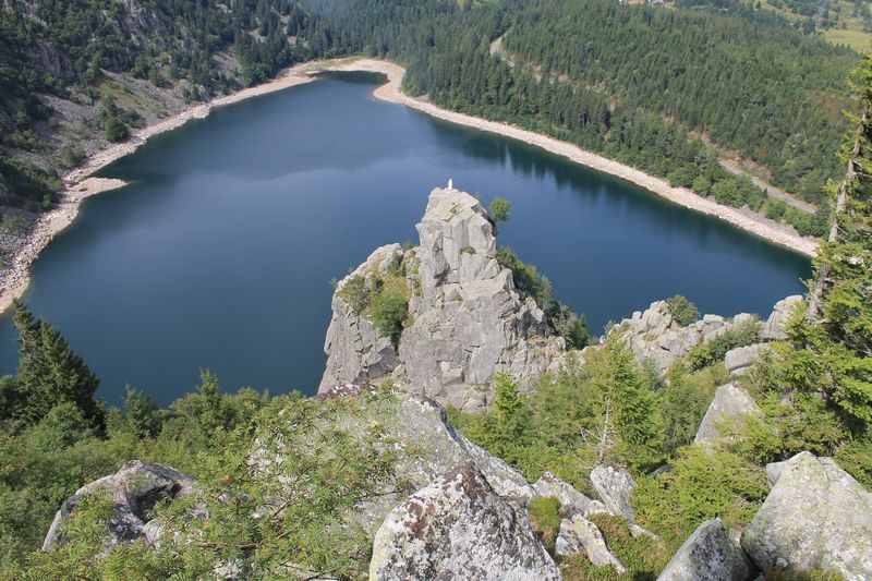
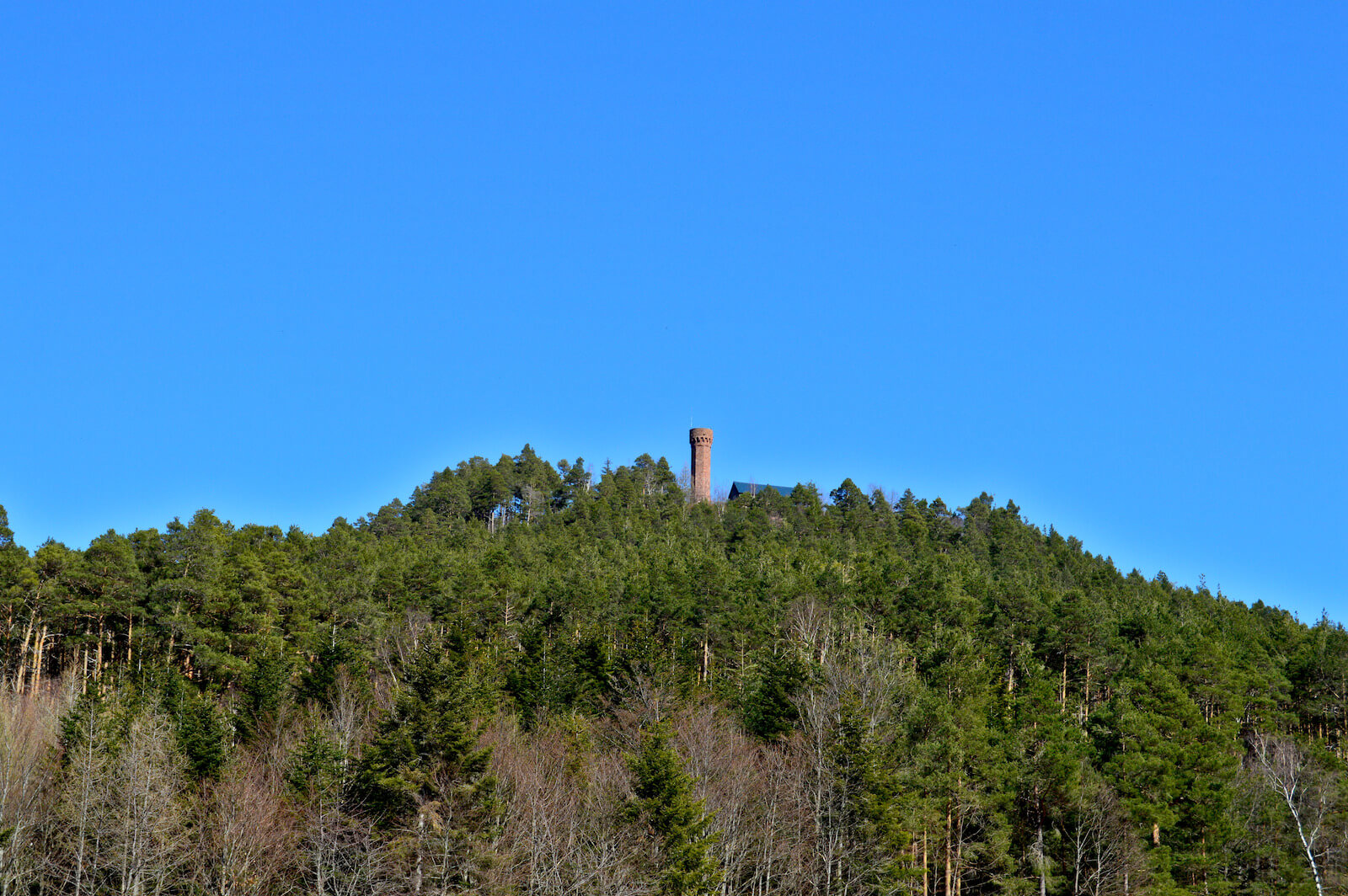
Hike in the footsteps of soldiers from the First World War, many bunkers and a German infantry observation fortress on the route.
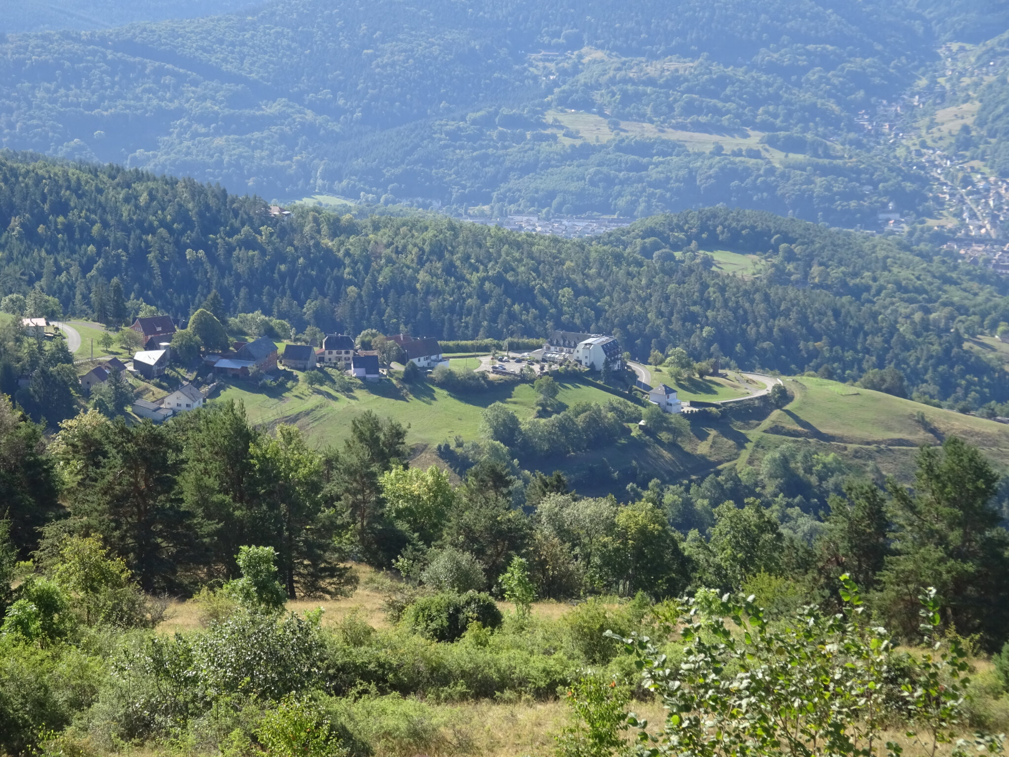
The route climbs up to Schratzmaennele (1,044 m) via the Glasborn path, to obtain a magnificent view. The return is via the Barrenkopf (980 m) then the Kleinkopf (940 m) before reaching the starting point.
Note that the circuit takes roads several times.

Already more than 200,000 users!
Uphill
255m
Highest point
1053m
Downhill
255m
Lowest point
812m
Route type
Loop
Download the map on your smartphone to save battery and rest assured to always keep access to the route, even without signal.
Includes IGN France and Swisstopo.
I indicate whether dogs are allowed or prohibited on this trail
Can be difficult in Winter
1 rating
Also enjoy:

Already more than 200,000 users!