Uphill
163m
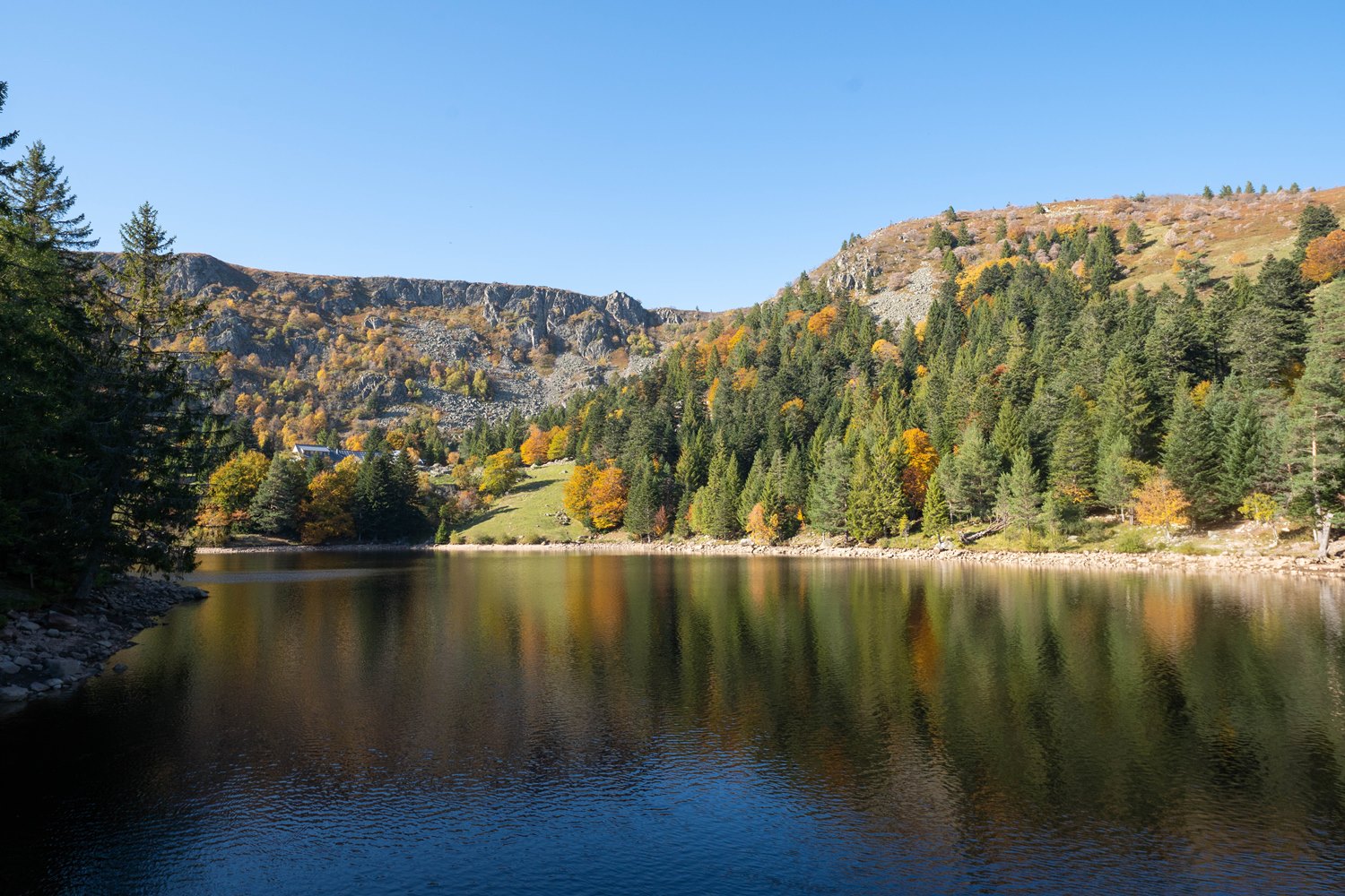
France > Grand Est > Haut-Rhin > Ballons des Vosges Regional Natural Park
Length
6km
Duration
2h
Elev gain
163m
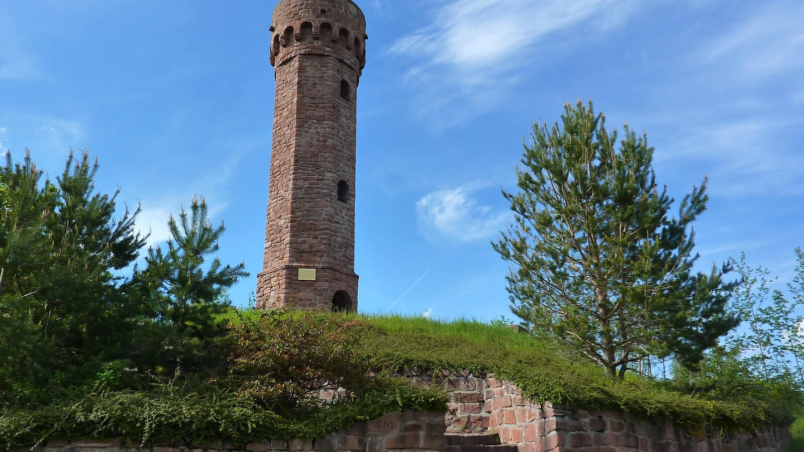
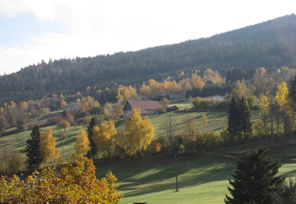
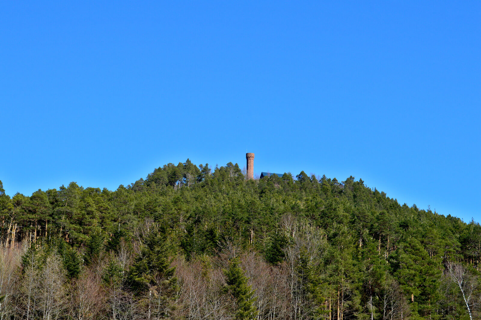
Departing from Remomont, this walk makes a loop around the Faudé massif and its famous tower. The path alternates between woods and fields, and passes through the Col de Bermont.
Note that the trail takes roads several times, mainly near Remomont.

Already more than 200,000 users!
Uphill
163m
Highest point
687m
Downhill
163m
Lowest point
583m
Route type
Loop
Download the map on your smartphone to save battery and rest assured to always keep access to the route, even without signal.
Includes IGN France and Swisstopo.
I indicate whether dogs are allowed or prohibited on this trail
All year
0 ratings
Also enjoy:

Already more than 200,000 users!