Uphill
579m
France > Grand Est > Haut-Rhin > Ballons des Vosges Regional Natural Park
Length
9km
Duration
4h
Elev gain
579m
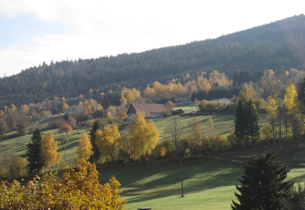
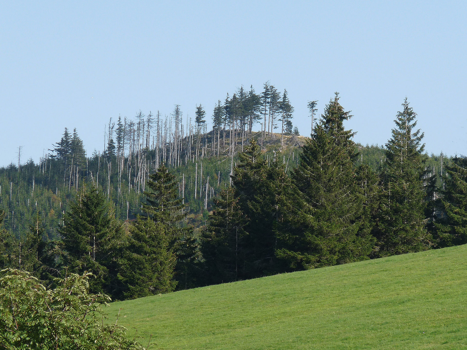
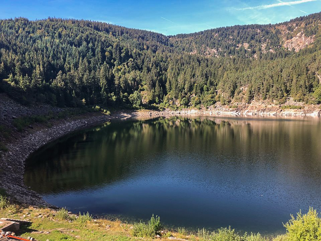
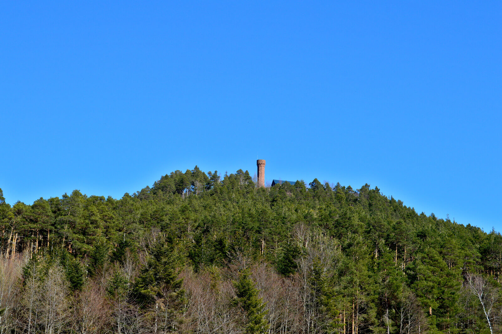
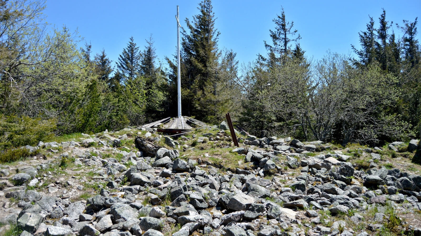
Ascent of the Tête des Faux, at an altitude of 1,208 metres. The loop route is rich in history, as it takes place on a former battlefield from the First World War. The summit, now a historic site, offers a magnificent view of the surroundings.

Already more than 200,000 users!
Uphill
579m
Highest point
1218m
Downhill
579m
Lowest point
681m
Route type
Loop
Download the map on your smartphone to save battery and rest assured to always keep access to the route, even without signal.
Includes IGN France and Swisstopo.
I indicate whether dogs are allowed or prohibited on this trail
Can be difficult in Winter
0 ratings
Also enjoy:

Already more than 200,000 users!