Uphill
494m
France > Grand Est > Haut-Rhin > Ballons des Vosges Regional Natural Park
Length
13km
Duration
4h30min
Elev gain
494m
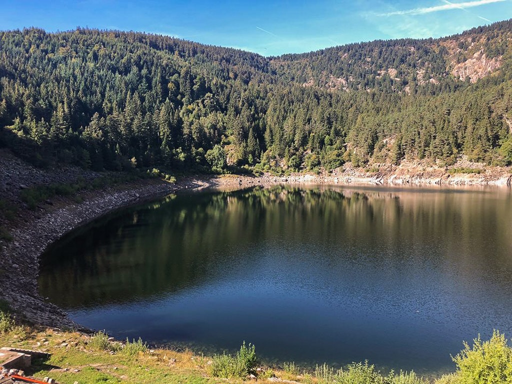
Starting from the Col du Calvaire, this hike allows you to go around the Blanc, Noir and Forlet lakes, also called Trout Lake. It also passes through the grass of Faing and offers elevation, forest, and pretty views.

Already more than 200,000 users!
Uphill
494m
Highest point
1309m
Downhill
494m
Lowest point
949m
Route type
Loop
Download the map on your smartphone to save battery and rest assured to always keep access to the route, even without signal.
Includes IGN France and Swisstopo.
Authorised on a leash
Can be difficult in Winter
3 ratings
Also enjoy:

Already more than 200,000 users!


