Uphill
404m
France > Grand Est > Haut-Rhin > Ballons des Vosges Regional Natural Park
Length
10km
Duration
3h30min
Elev gain
404m
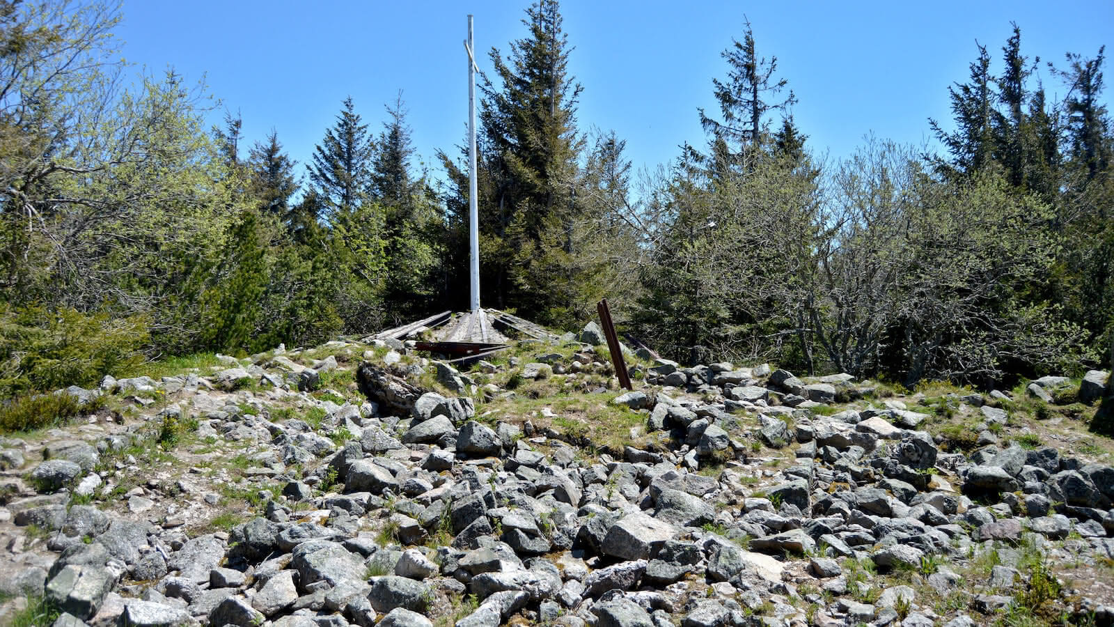
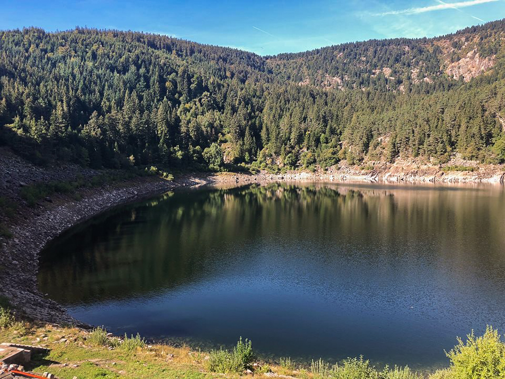
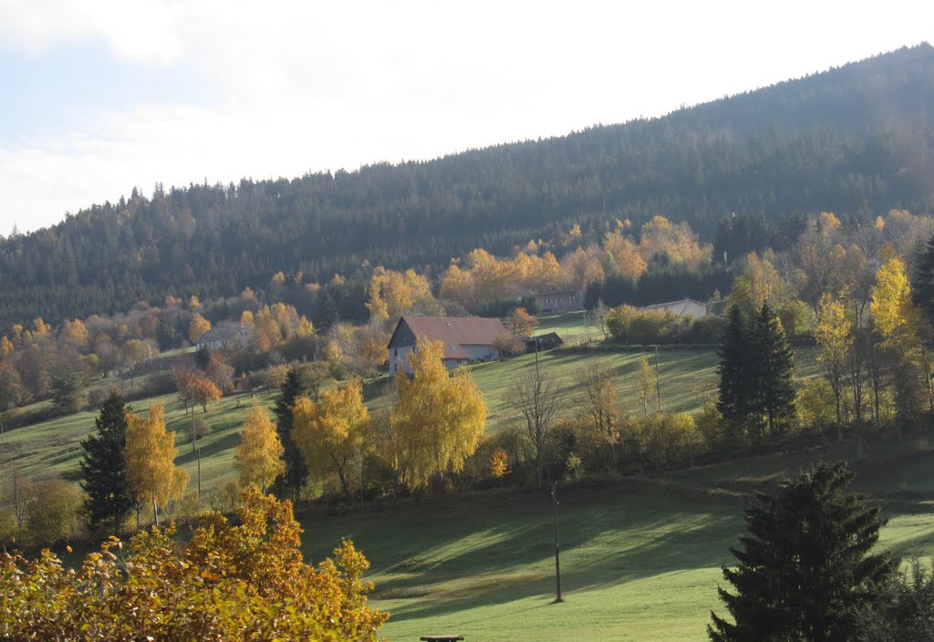
Departing from Le Bonhomme, this hike runs along the Béhine to reach the Auberge du Vallon. The landscapes are beautiful and varied.
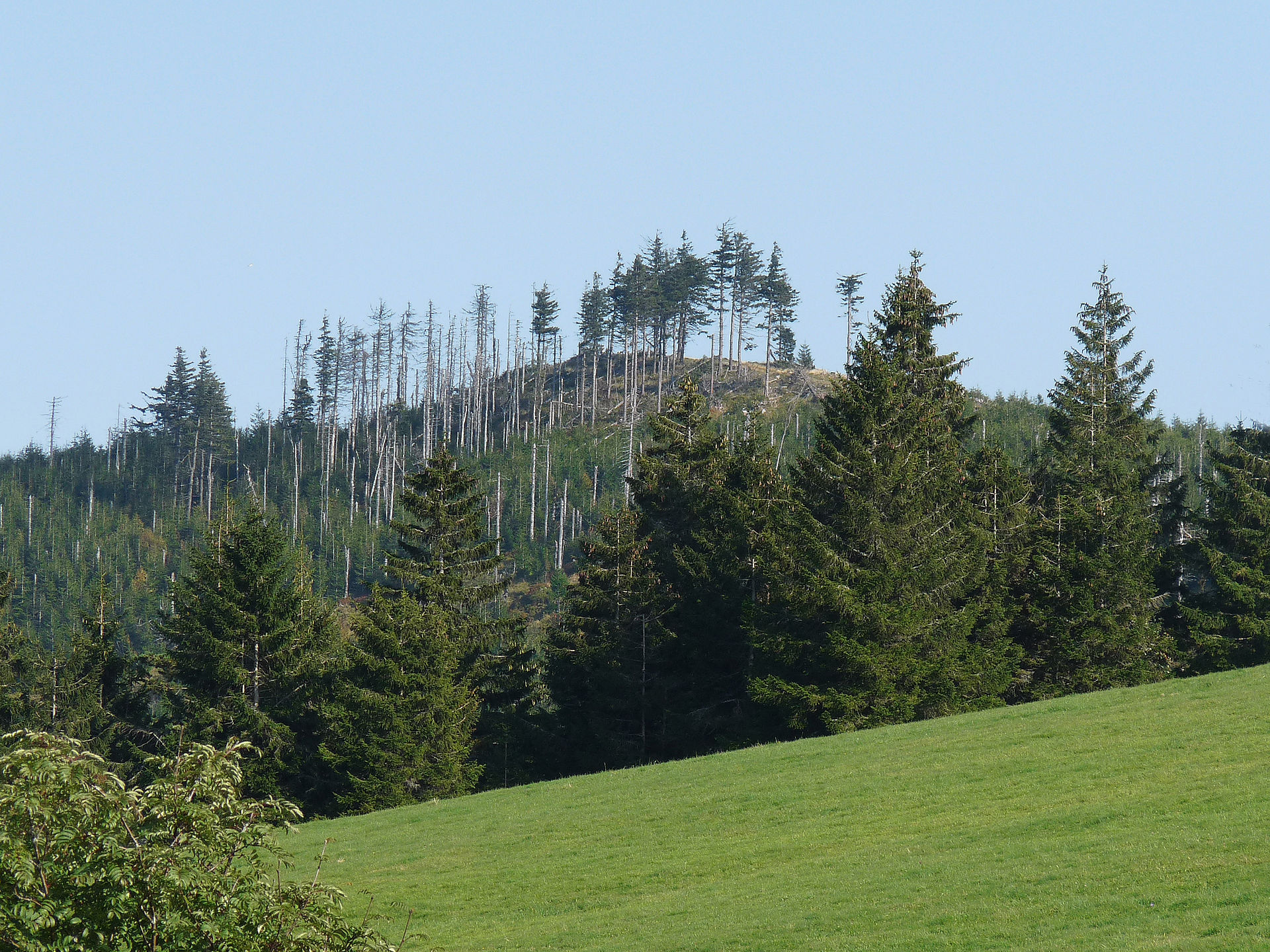
The return to the starting point is a little higher in the forest.

Already more than 200,000 users!
Uphill
404m
Highest point
945m
Downhill
404m
Lowest point
677m
Route type
Loop
Download the map on your smartphone to save battery and rest assured to always keep access to the route, even without signal.
Includes IGN France and Swisstopo.
I indicate whether dogs are allowed or prohibited on this trail
Can be difficult in Winter
0 ratings
Also enjoy:

Already more than 200,000 users!