Uphill
390m
France > Grand Est > Haut-Rhin > Ballons des Vosges Regional Natural Park
Length
9km
Duration
3h
Elev gain
390m
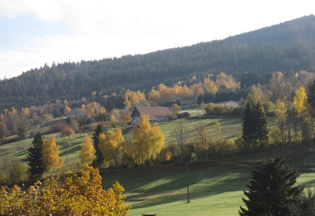
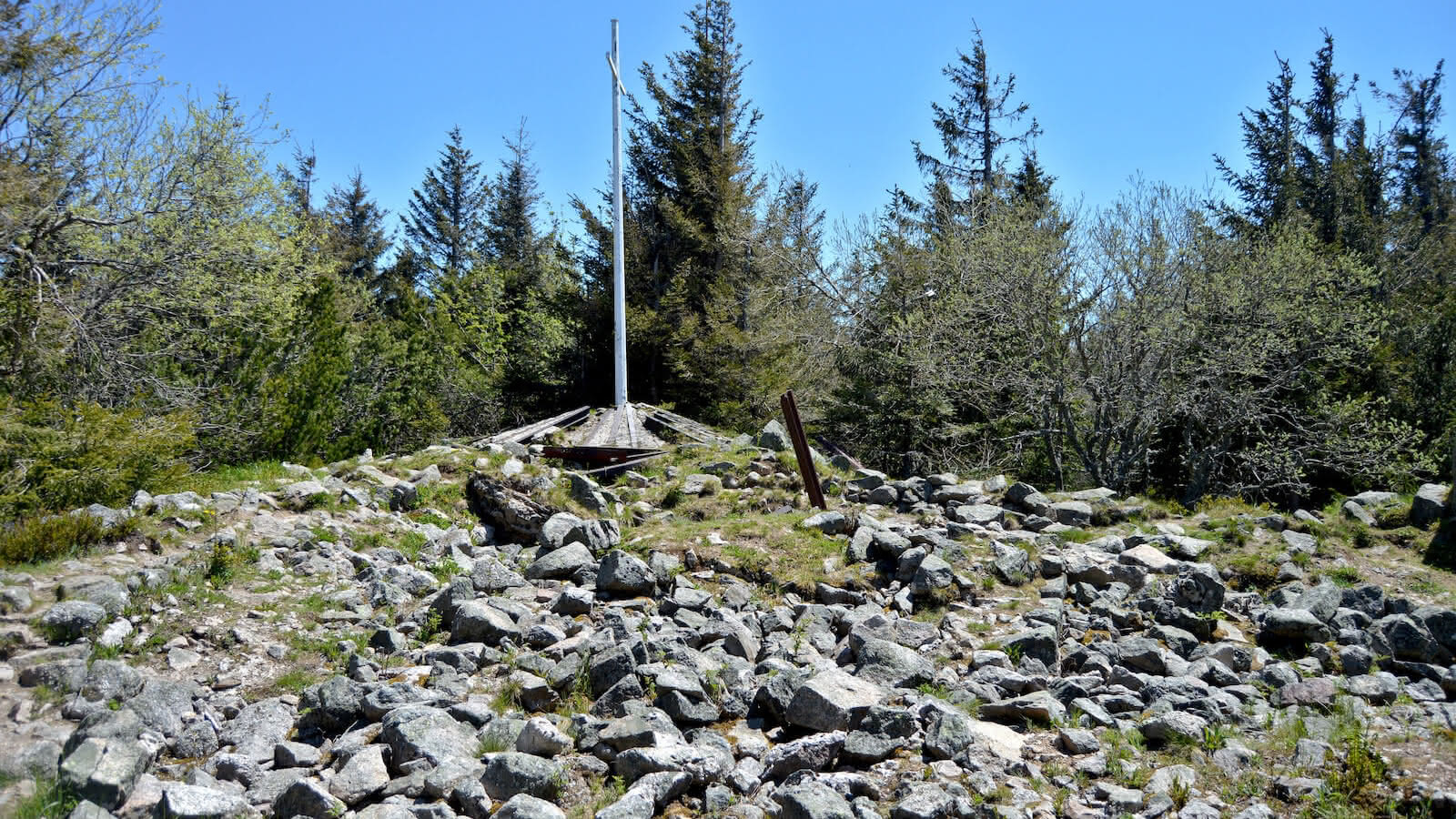
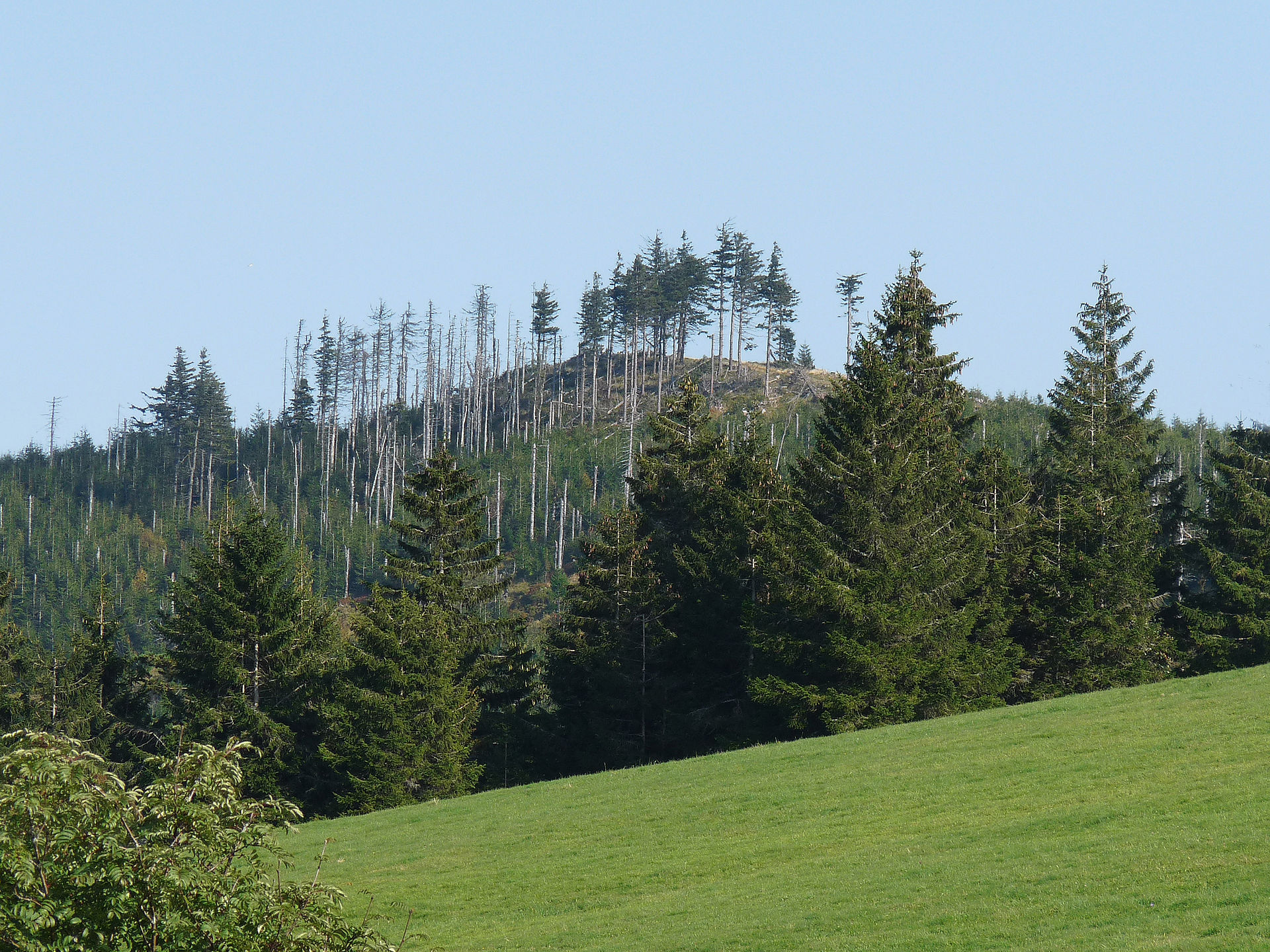
Here is a beautiful hike starting from the Col des Bagenelles. The route makes a loop leading to the small and large Brézouard which offer pretty views of the Hautes-Vosges and the plains of Alsace. The trail mainly follows forest roads and passes by the Haycot refuge chalet.

Already more than 200,000 users!
Uphill
390m
Highest point
1224m
Downhill
390m
Lowest point
901m
Route type
Loop
Download the map on your smartphone to save battery and rest assured to always keep access to the route, even without signal.
Includes IGN France and Swisstopo.
I indicate whether dogs are allowed or prohibited on this trail
Can be difficult in Winter
2 ratings
Also enjoy:

Already more than 200,000 users!