Uphill
384m
Length
9km
Duration
3h30min
Elev gain
384m
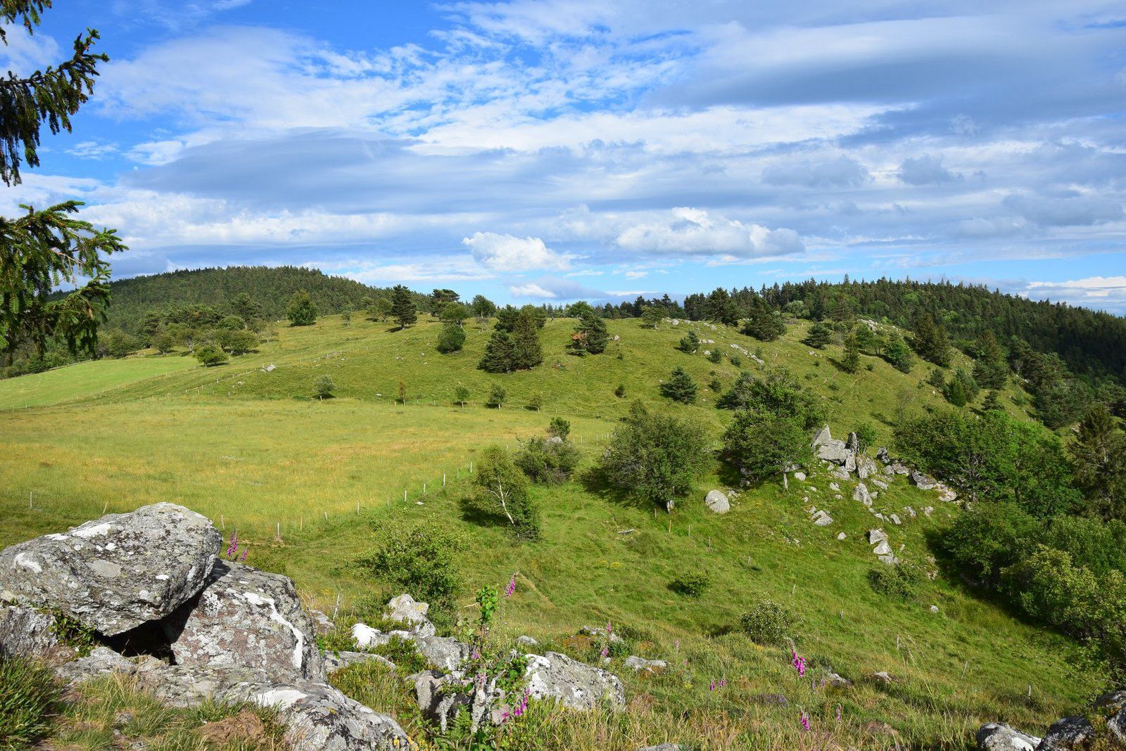
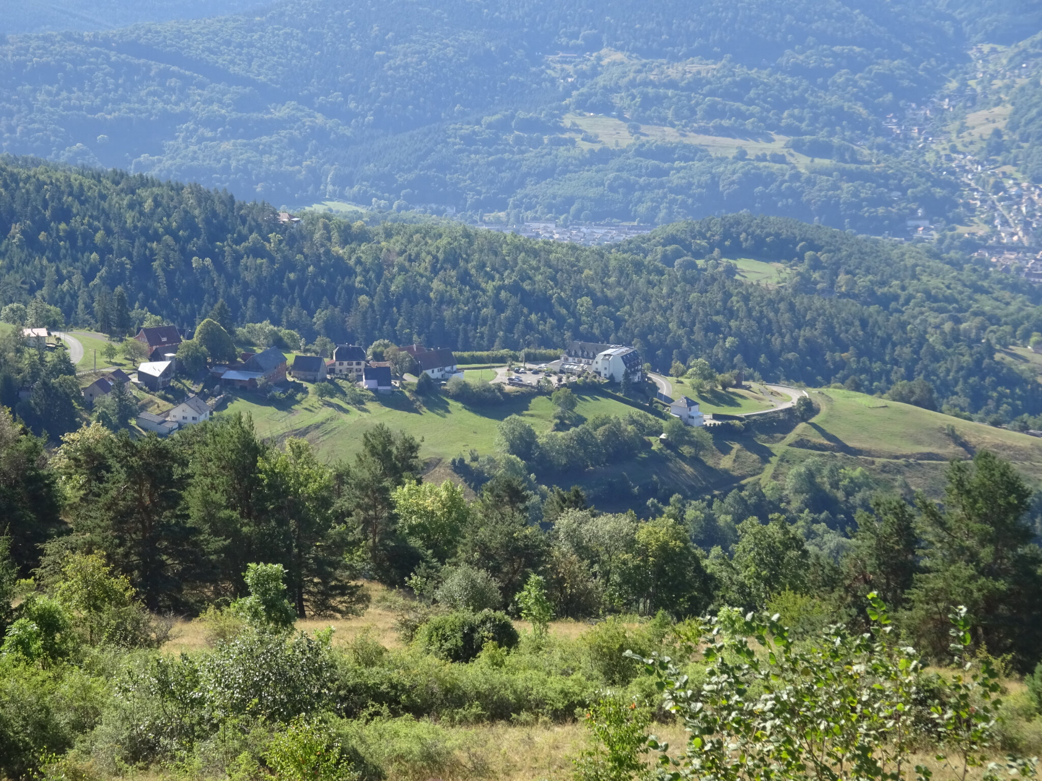
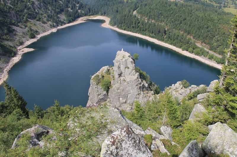
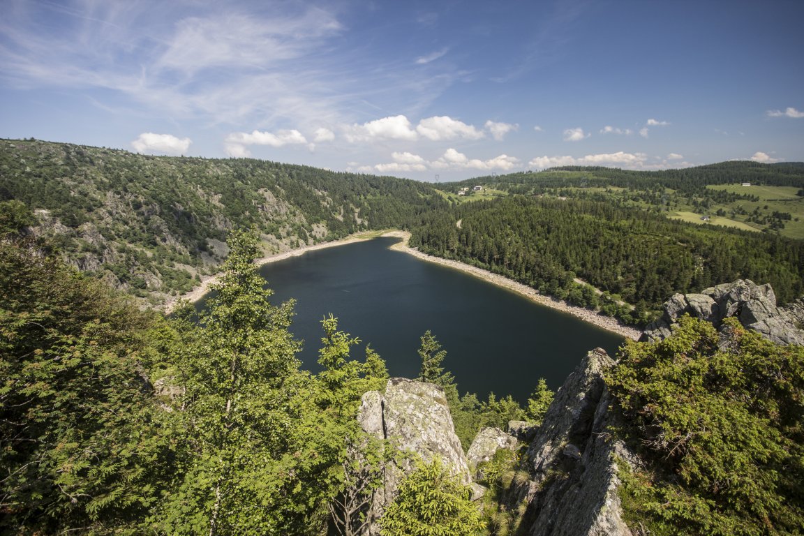
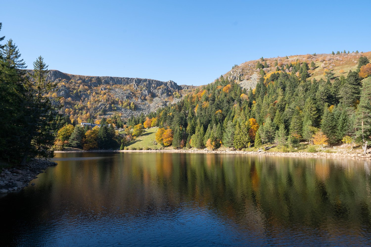
Here is a very nice hike starting from the Wettstein pass. The course is a figure eight and leads to Lac des Truites via the Hautes-Huttes. The lake is magnificent and takes place in a magical setting.

Already more than 200,000 users!
Uphill
384m
Highest point
1126m
Downhill
384m
Lowest point
883m
Route type
Loop
Download the map on your smartphone to save battery and rest assured to always keep access to the route, even without signal.
Includes IGN France and Swisstopo.
I indicate whether dogs are allowed or prohibited on this trail
Can be difficult in Winter
0 ratings
Also enjoy:

Already more than 200,000 users!