Uphill
261m
France > Grand Est > Haut-Rhin > Ballons des Vosges Regional Natural Park
Length
7km
Duration
2h30min
Elev gain
261m
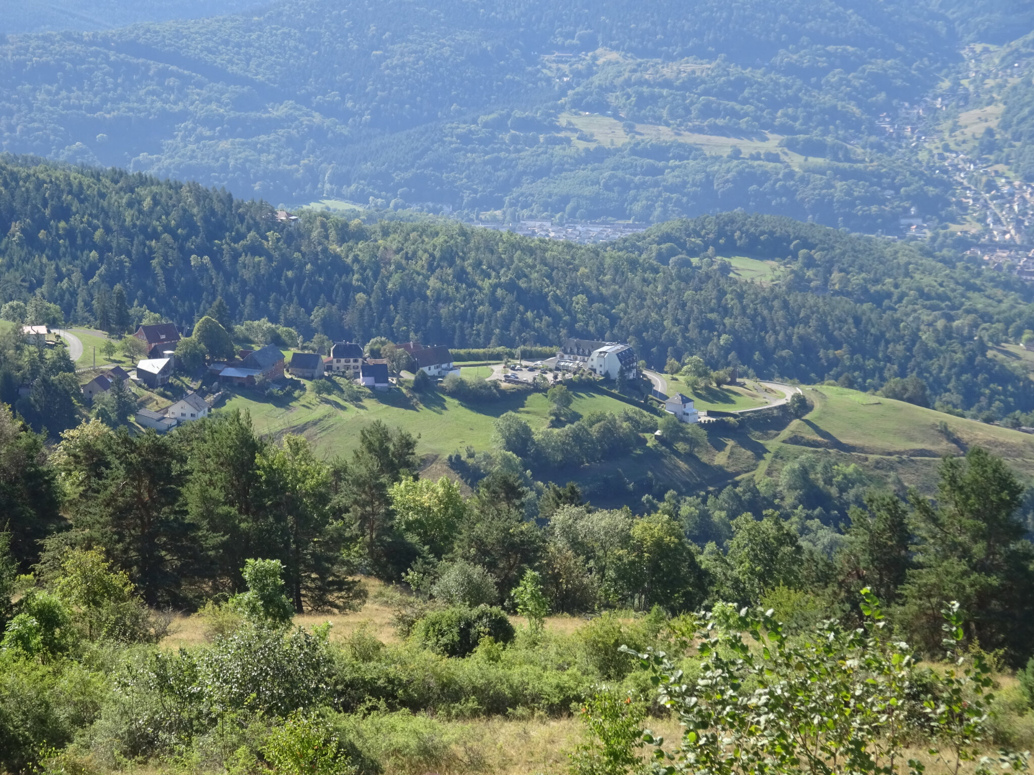
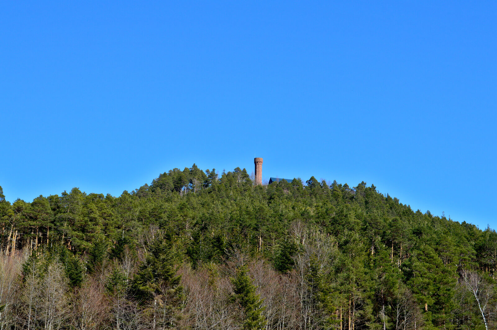
Nice walk in the Linge massif. In the first third is the Glasborn-Linge inn, ideal for a short break. The route leads to the Wettstein pass (880 m) then descends to the starting point via the Londenbach goat farm.
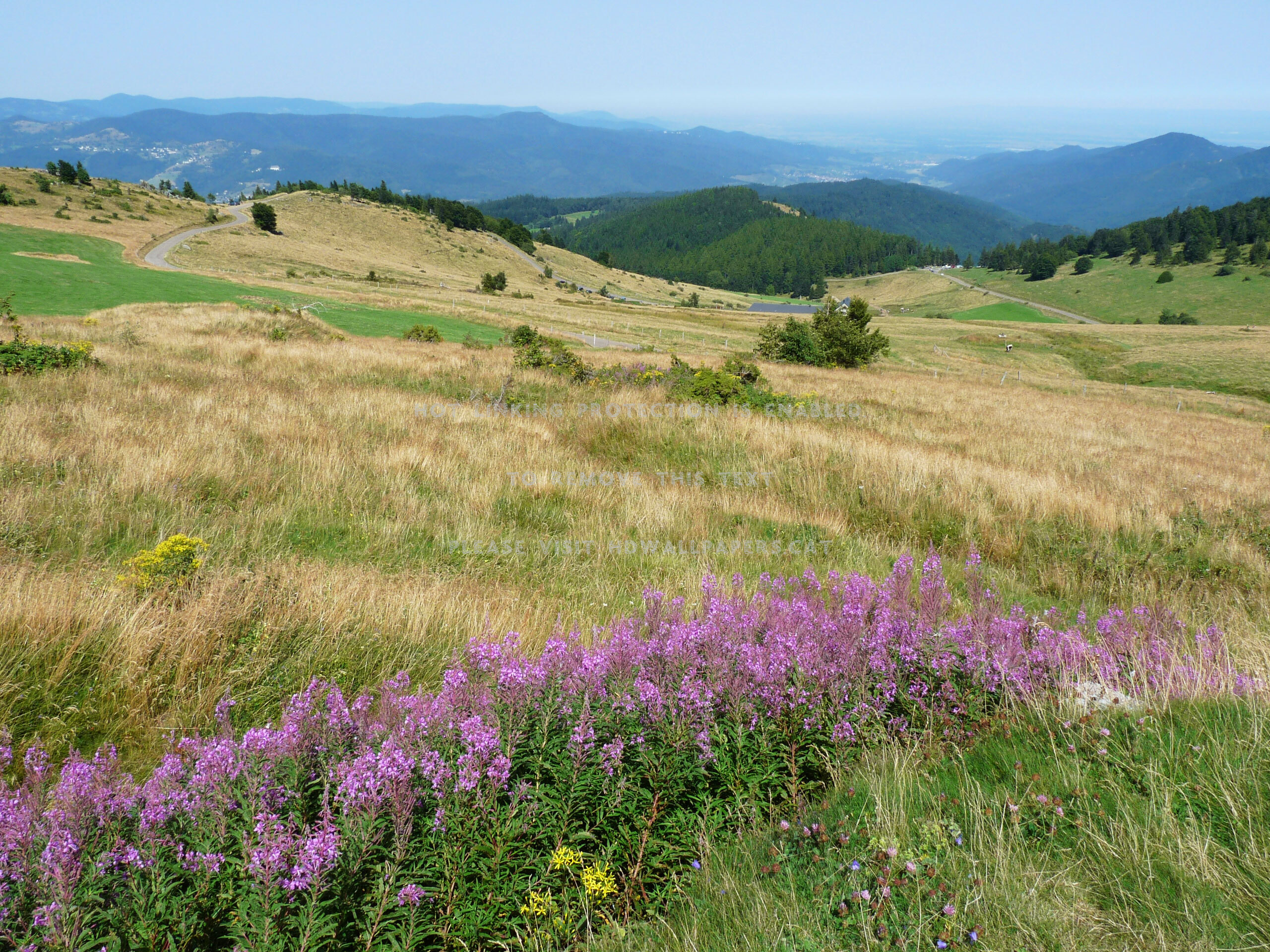
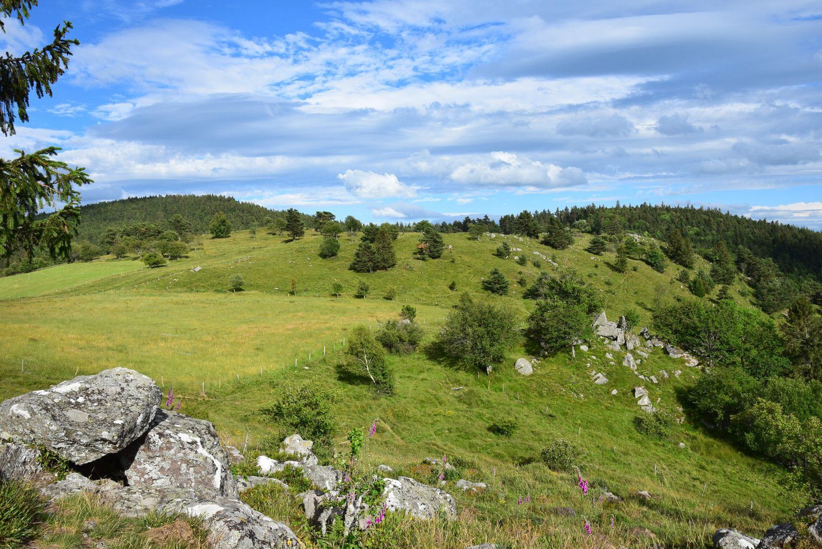
Between paths in the forest and in the fields, this route offers lovely views of the valley.

Already more than 200,000 users!
Uphill
261m
Highest point
954m
Downhill
261m
Lowest point
733m
Route type
Loop
Download the map on your smartphone to save battery and rest assured to always keep access to the route, even without signal.
Includes IGN France and Swisstopo.
I indicate whether dogs are allowed or prohibited on this trail
Can be difficult in Winter
1 rating
Also enjoy:

Already more than 200,000 users!