Uphill
849m
France > Grand Est > Haut-Rhin > Ballons des Vosges Regional Natural Park
Length
16km
Duration
6h30min
Elev gain
849m
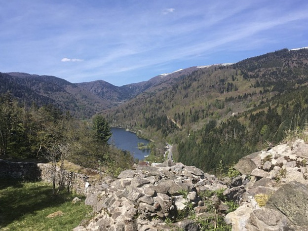
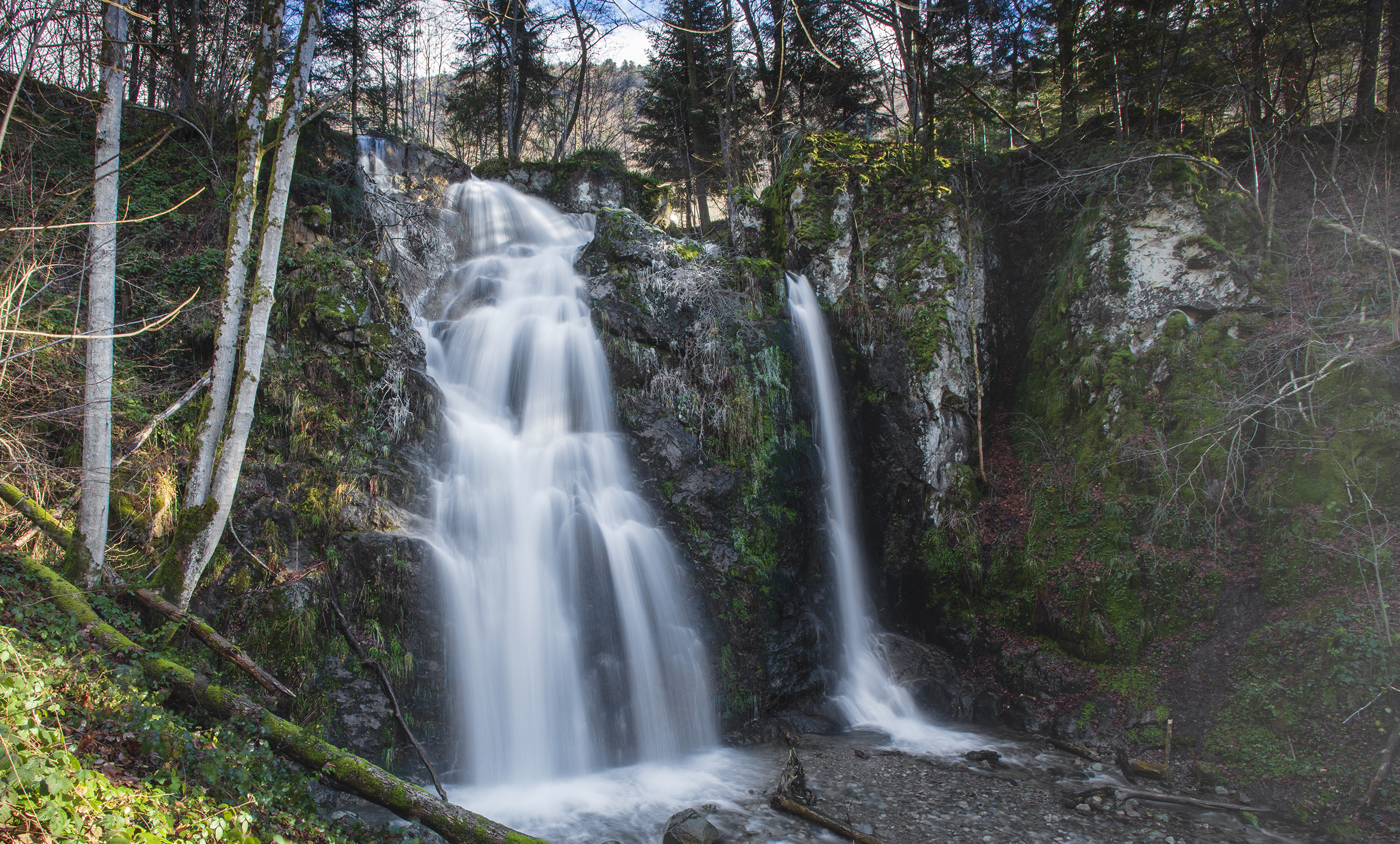
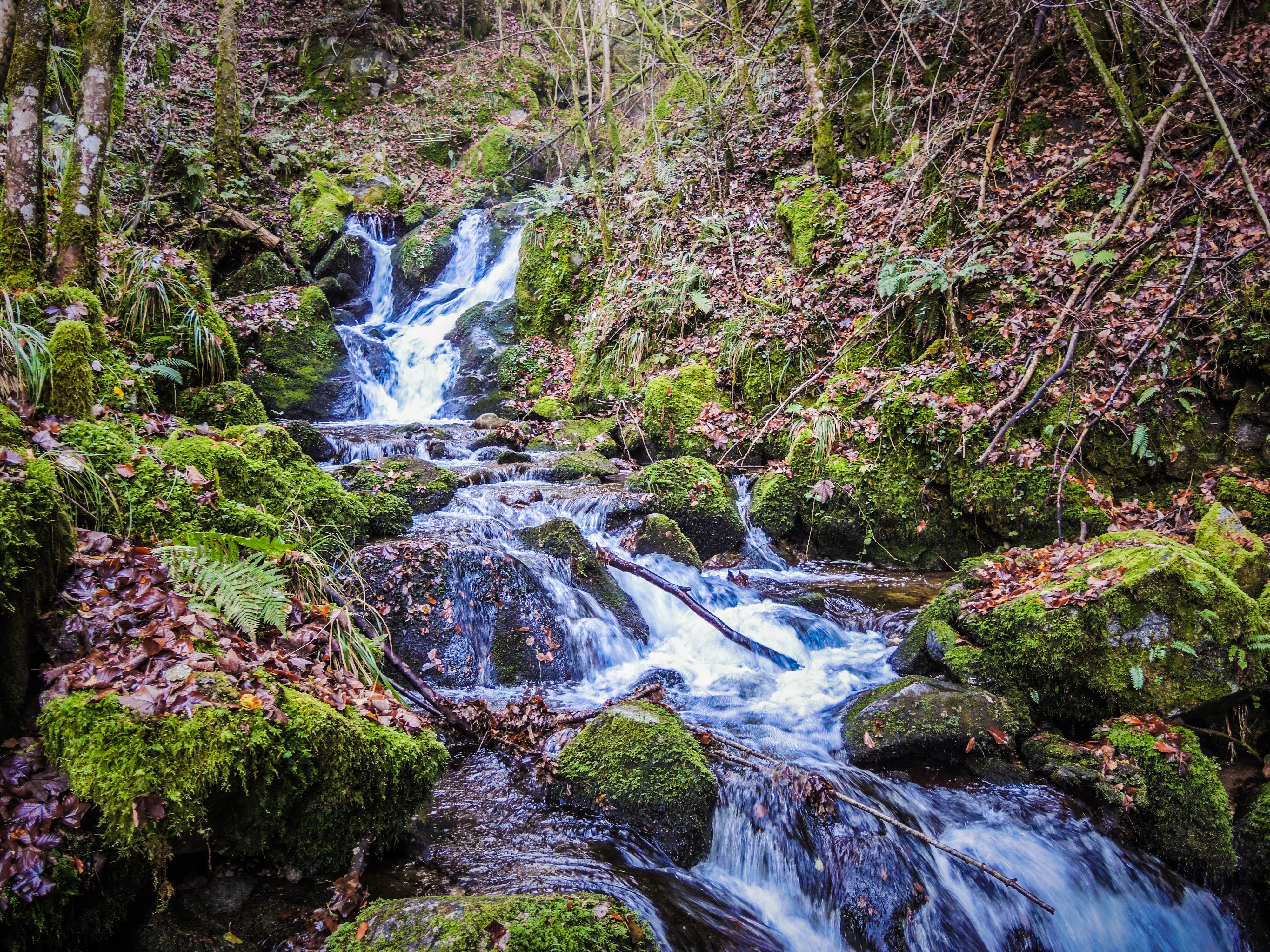
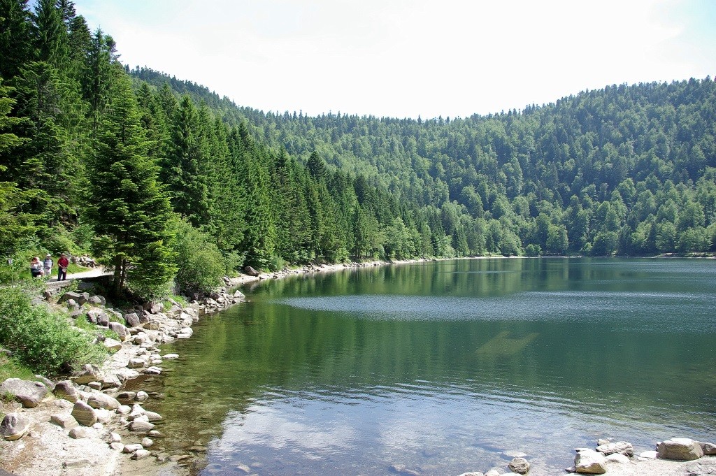
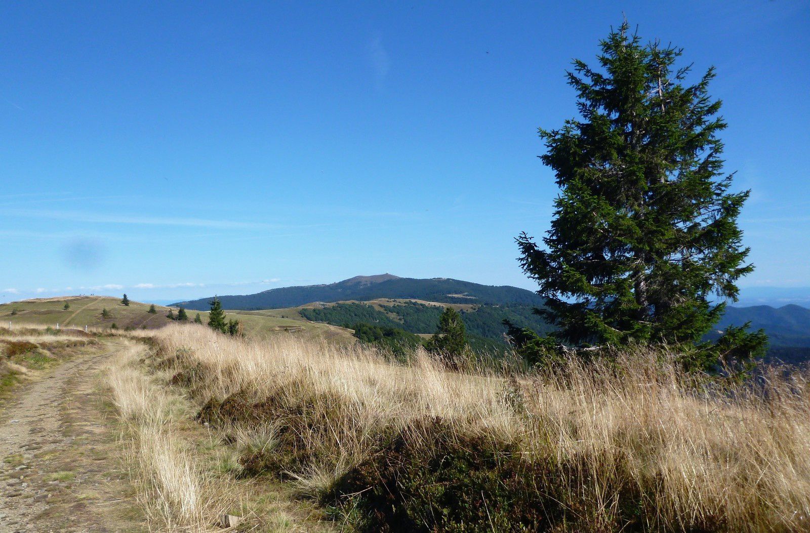
Departing from Lake Kruth, gradual ascent to the Grand Ventron, before descending through the Petit Ventron and the Tête du Chat Sauvage. Walk mainly in the forest.

Already more than 200,000 users!
Uphill
849m
Highest point
1201m
Downhill
849m
Lowest point
528m
Route type
Loop
Download the map on your smartphone to save battery and rest assured to always keep access to the route, even without signal.
Includes IGN France and Swisstopo.
I indicate whether dogs are allowed or prohibited on this trail
Can be difficult in Winter
0 ratings
Also enjoy:

Already more than 200,000 users!