Uphill
871m
Length
14km
Duration
6h30min
Elev gain
871m
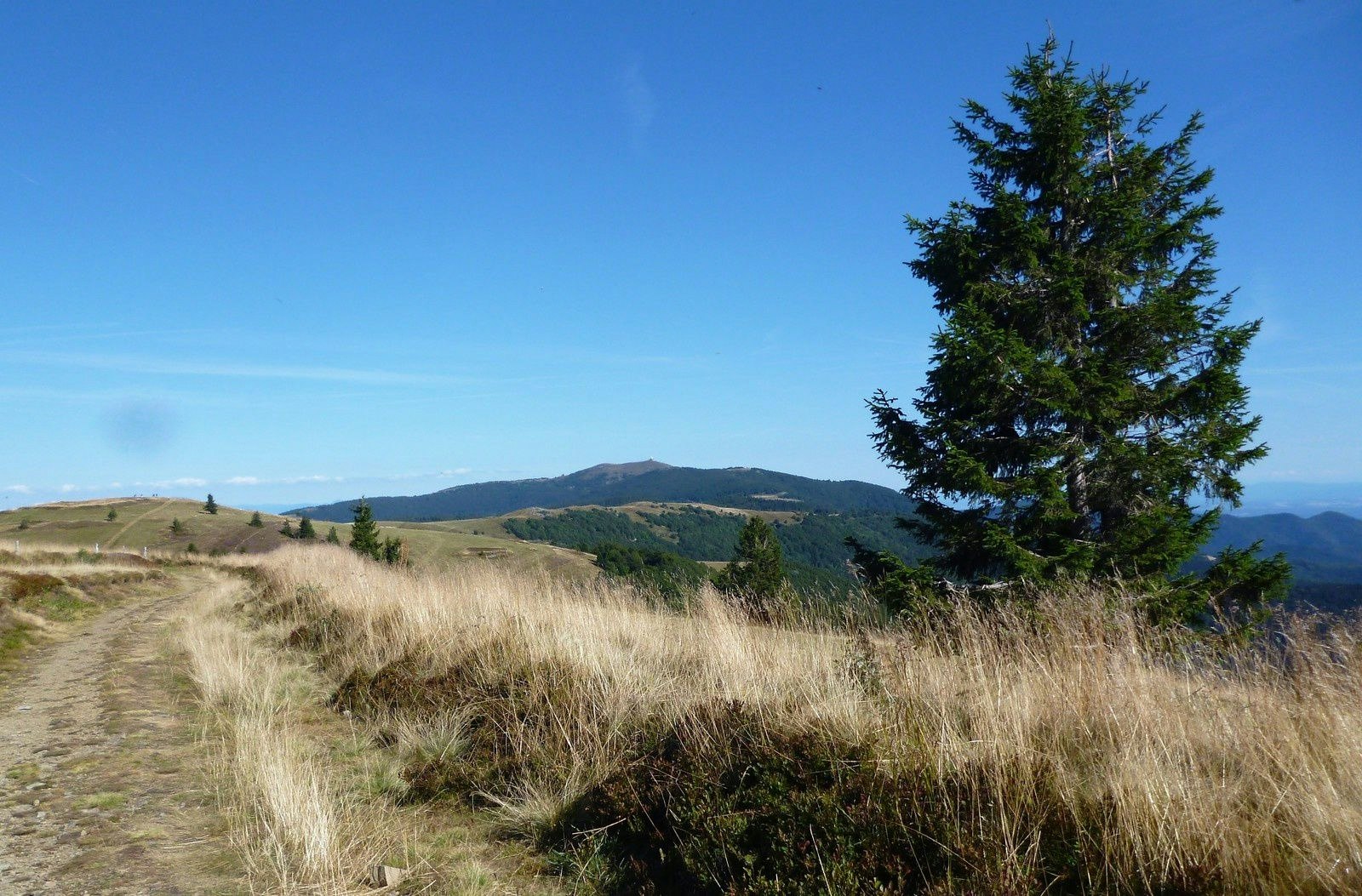
Round trip hike leading to the summit of Trehkopf, 1,266 meters above sea level. The trail crosses the Schalmrunz valley then passes by the Treh inn, where a short break is welcome. The route then continues to the summit where the view is splendid.

Already more than 200,000 users!
Uphill
871m
Highest point
1263m
Downhill
871m
Lowest point
428m
Route type
There and back
Download the map on your smartphone to save battery and rest assured to always keep access to the route, even without signal.
Includes IGN France and Swisstopo.
I indicate whether dogs are allowed or prohibited on this trail
Can be difficult in Winter
0 ratings
Also enjoy:

Already more than 200,000 users!


