Uphill
353m
France > Grand Est > Haut-Rhin > Ballons des Vosges Regional Natural Park
Length
11km
Duration
3h30min
Elev gain
353m
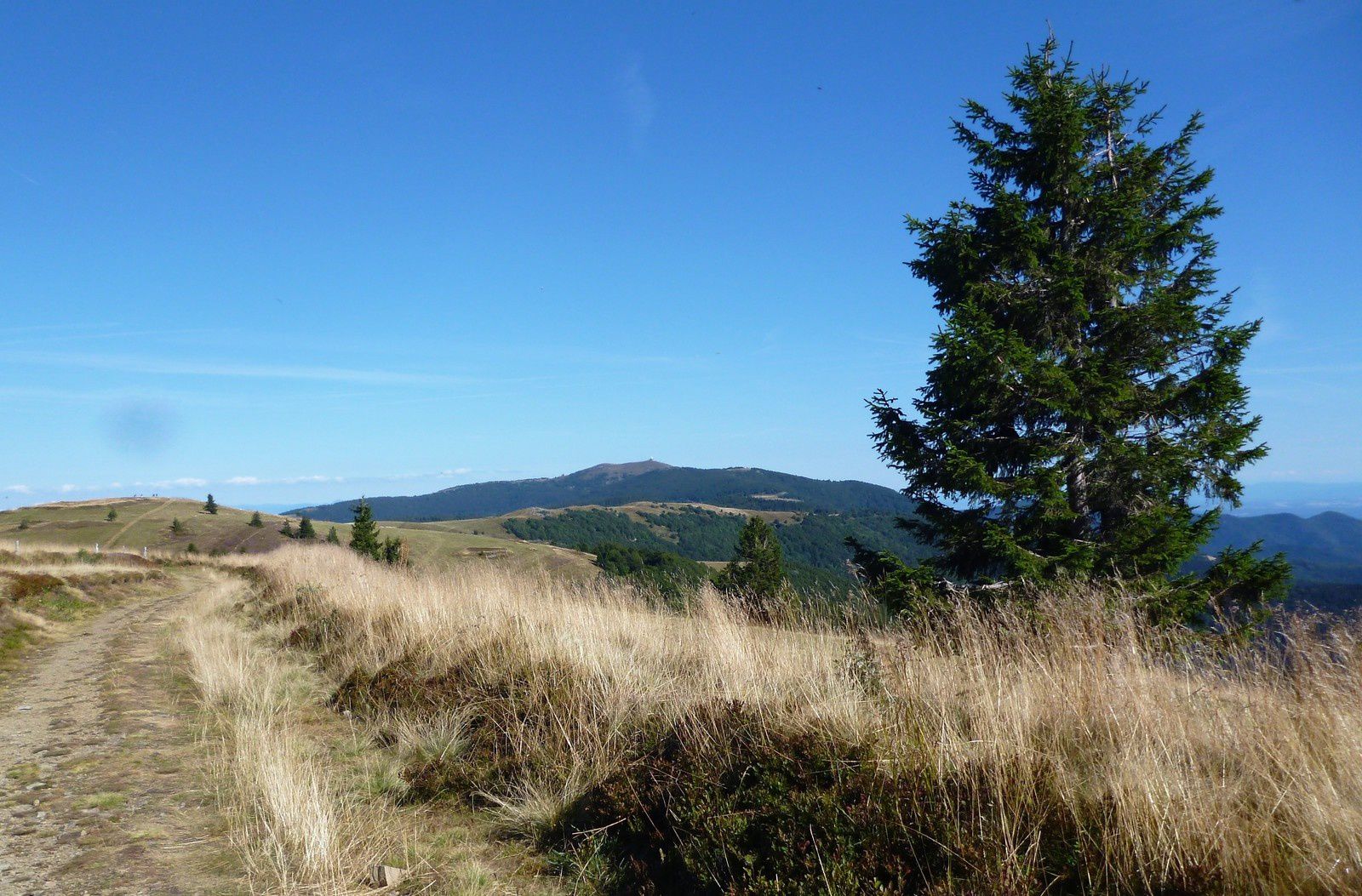
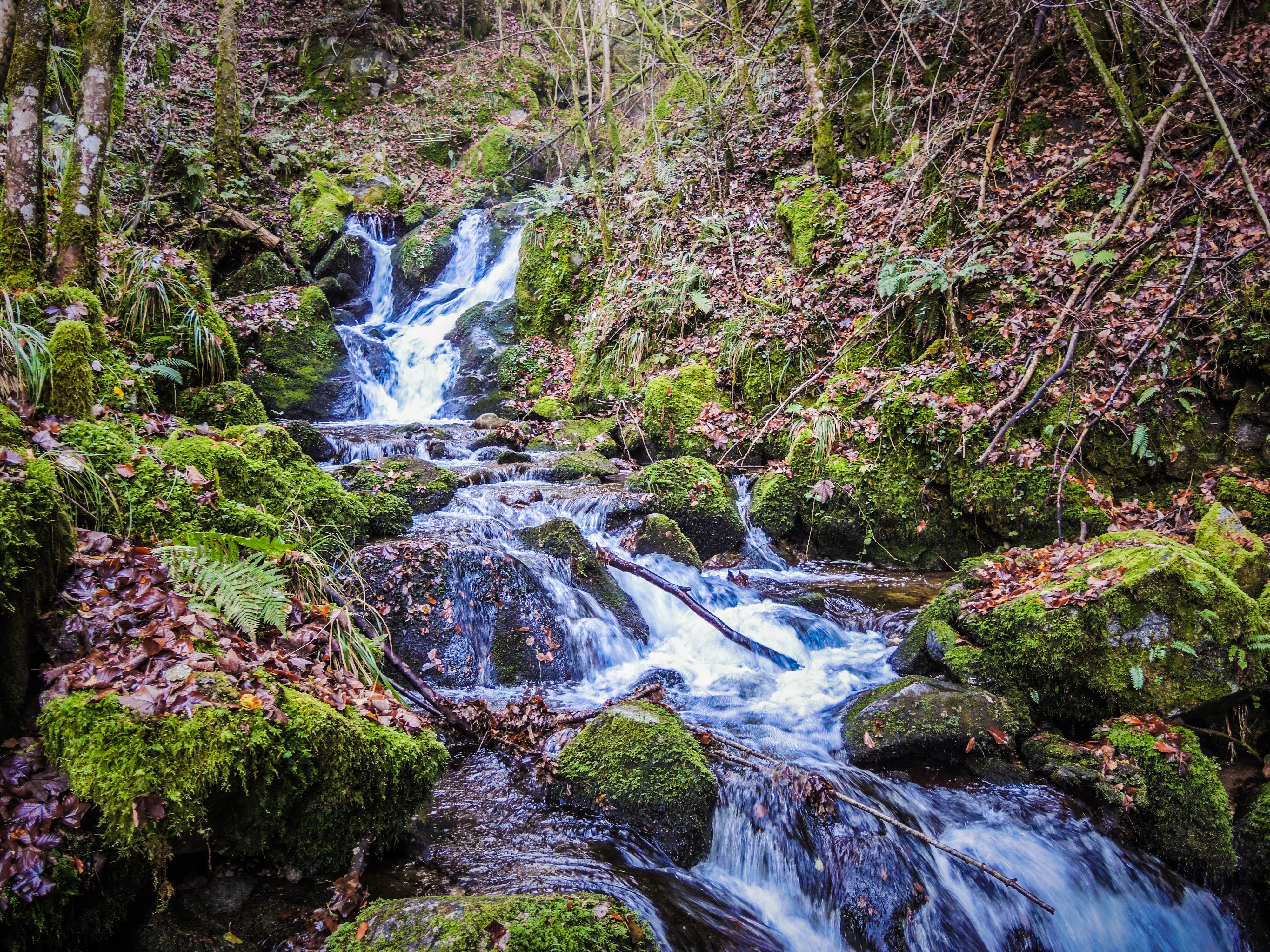
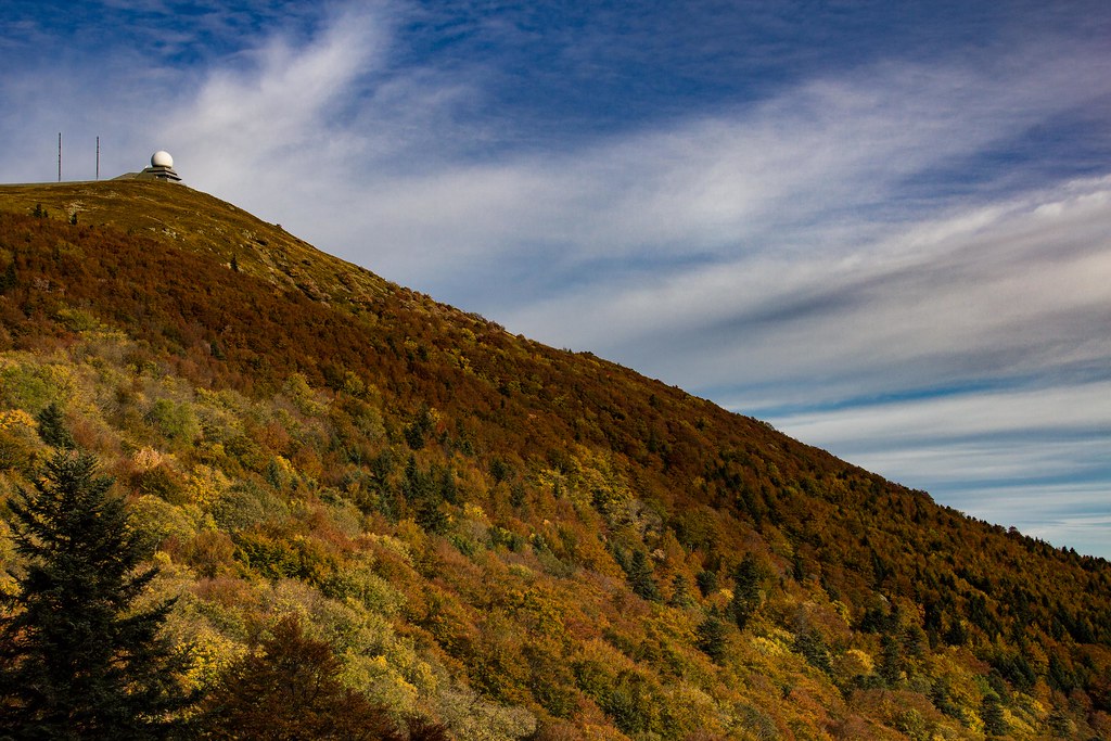
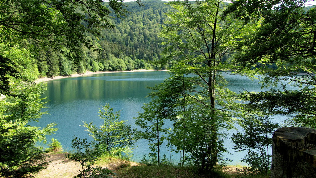
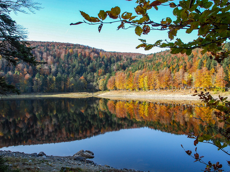
Nice walk alternating between forests, typical Vosges stubble and a lake.

Already more than 200,000 users!
Uphill
353m
Highest point
1194m
Downhill
353m
Lowest point
925m
Route type
Loop
Download the map on your smartphone to save battery and rest assured to always keep access to the route, even without signal.
Includes IGN France and Swisstopo.
I indicate whether dogs are allowed or prohibited on this trail
Can be difficult in Winter
0 ratings
Also enjoy:

Already more than 200,000 users!