Uphill
628m
France > Grand Est > Haut-Rhin > Ballons des Vosges Regional Natural Park
Length
22km
Duration
7h30min
Elev gain
628m
If the previous leg was the one with the most elevation gain, this is the one with the most kilometres. With more than double the day before!
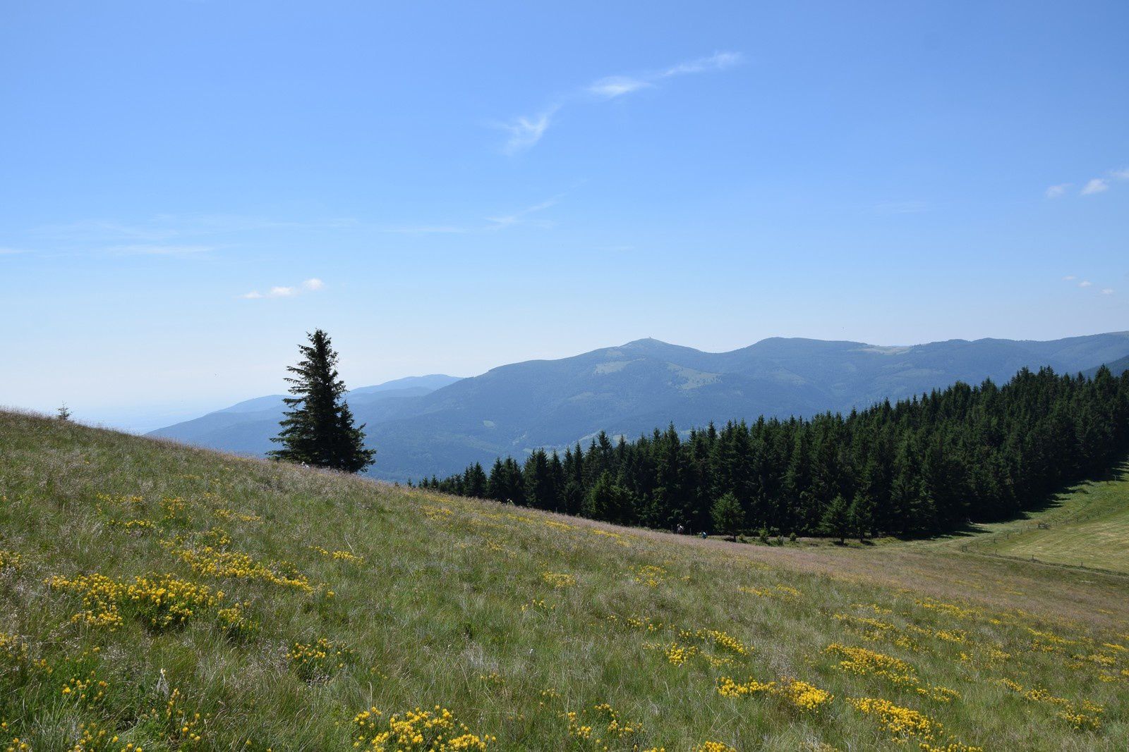
The path follows a line of ridges making an arc between the Grand Ballon and the Petit Ballon, which makes the walk regular and pleasant, without great difference in height. In addition, the path is located above the forests, crossing flowery meadows depending on the season.
In short: a leg to be amazed.
⚠️ The section between the Oberlauchen and Lauchen passes, via the Klintzkopf, is prohibited between December 1 and June 30. You should then take the forest road below.

Already more than 200,000 users!
Uphill
628m
Highest point
1412m
Downhill
780m
Lowest point
1114m
Route type
One way
Download the map on your smartphone to save battery and rest assured to always keep access to the route, even without signal.
Includes IGN France and Swisstopo.
Several options for sleeping around the Petit Ballon. Also several options for lunch during the stage.
I indicate whether dogs are allowed or prohibited on this trail
Can be difficult in Winter
1 rating
Très belle ligne de crêtes sans difficultés. Toilettes publiques et donc point d’eau au sommet du Markstein. Ayant réalisés le trek sur 2 jours à raison de 25km/jour nous avons bivouaqué a mi-chemin au col d’Oberlauchen en compagnie d’autres randonneurs. Cette partie du trek se conclue par le sommet du Petit Ballon qui offre une magnifique vue à 360 sur les alentours.
Also enjoy:

Already more than 200,000 users!


