Uphill
159m
Length
12km
Duration
3h30min
Elev gain
159m
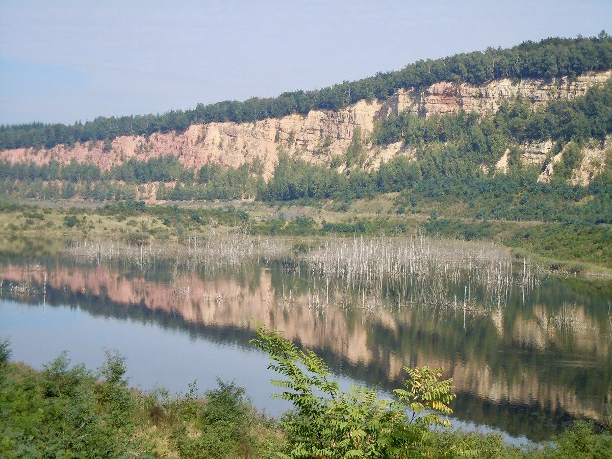
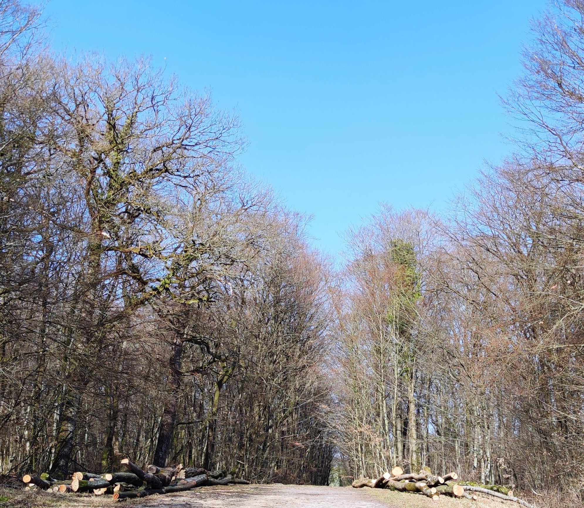
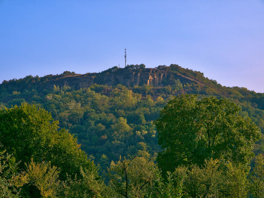
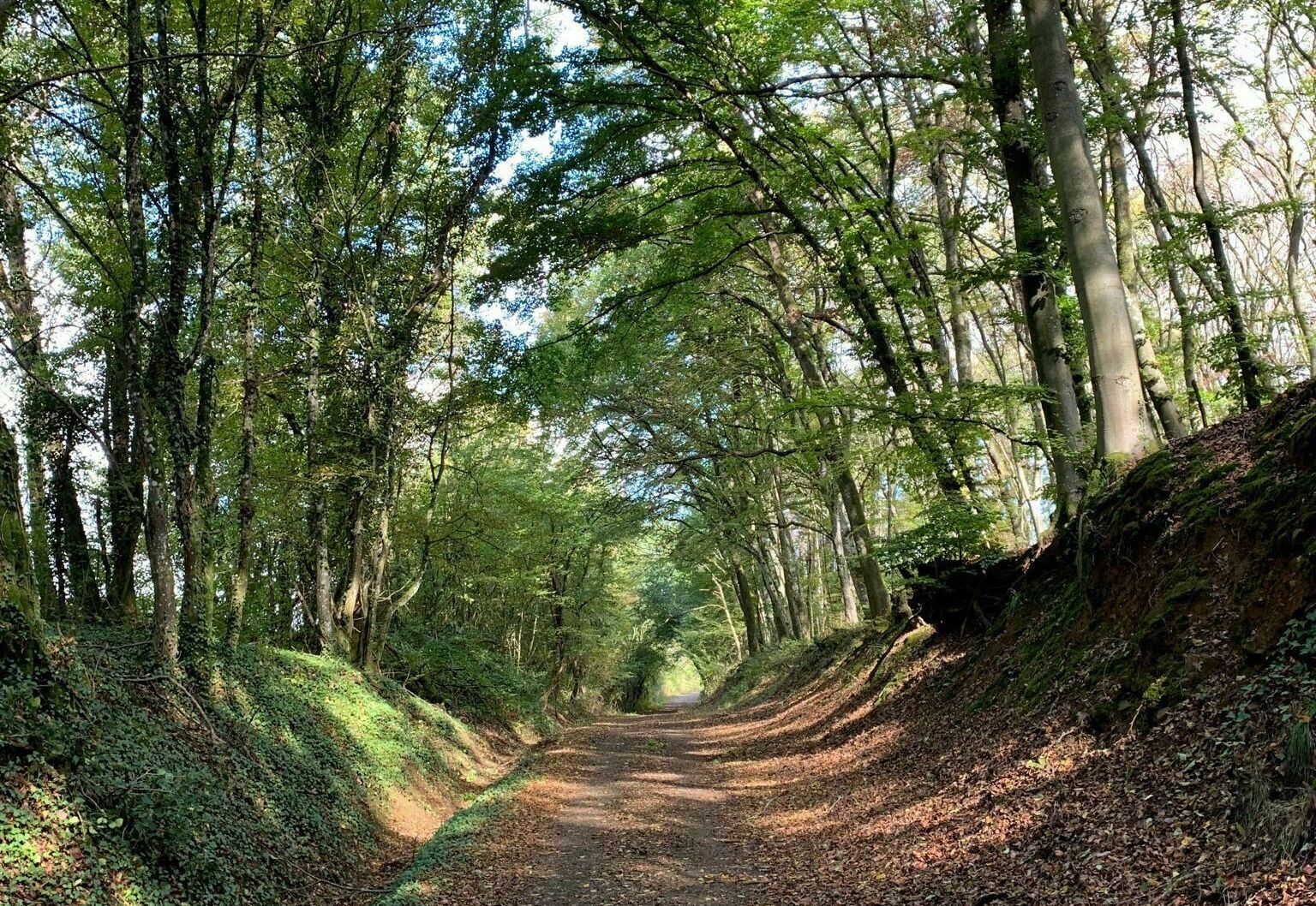
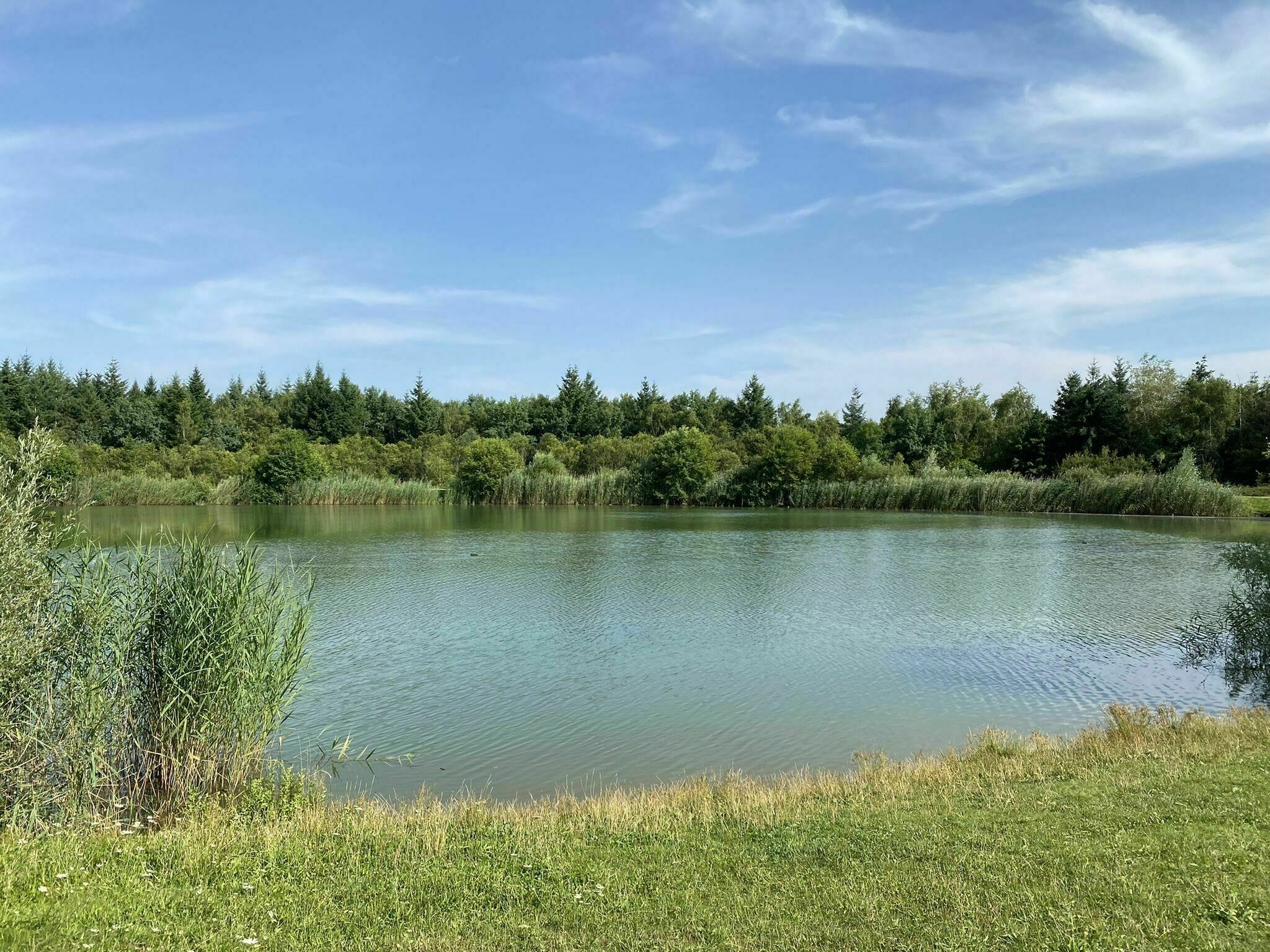
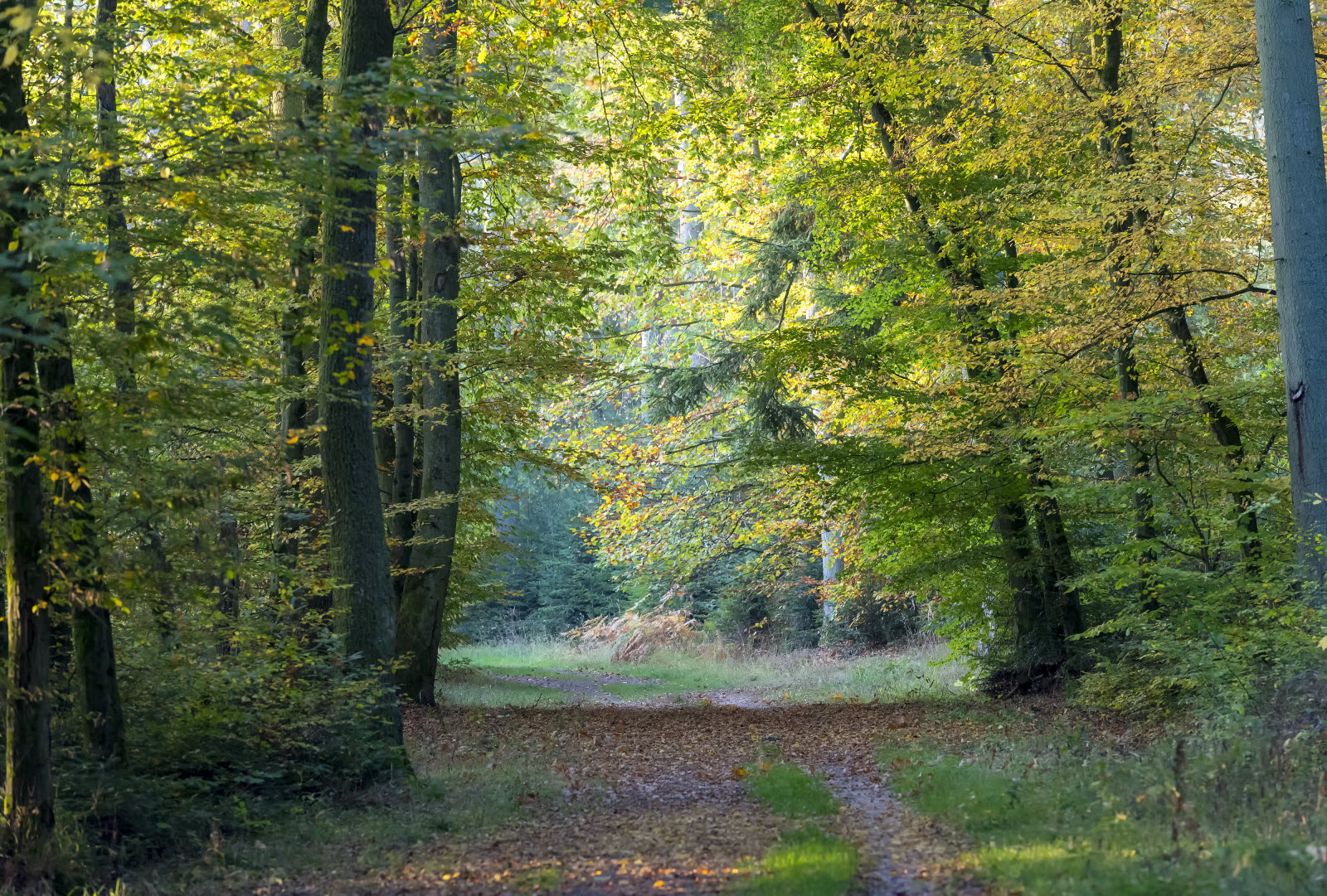
Departing from Falck, walk in the forest of La Houve. Covering an area of over 13 km², it offers pleasant paths and various tree species.

Already more than 200,000 users!
Uphill
159m
Highest point
292m
Downhill
159m
Lowest point
189m
Route type
Loop
Download the map on your smartphone to save battery and rest assured to always keep access to the route, even without signal.
Includes IGN France and Swisstopo.
I indicate whether dogs are allowed or prohibited on this trail
All year
0 ratings
Also enjoy:

Already more than 200,000 users!