Uphill
83m
Length
14km
Duration
3h30min
Elev gain
83m
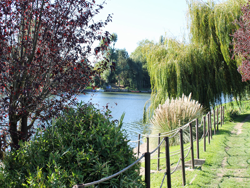
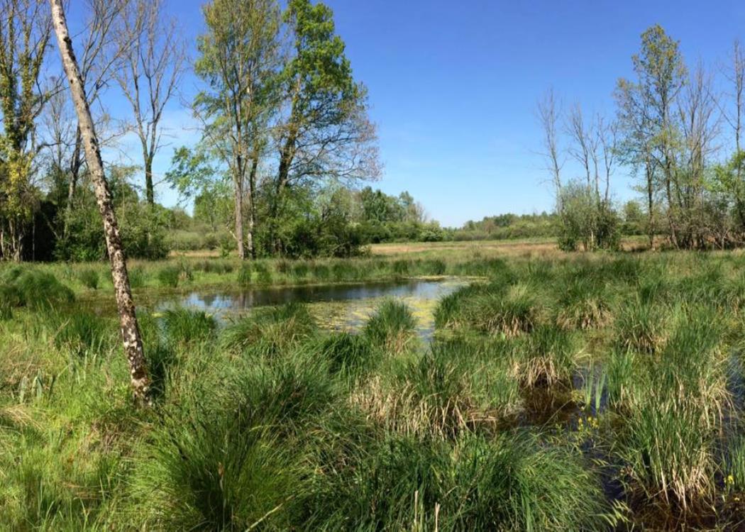
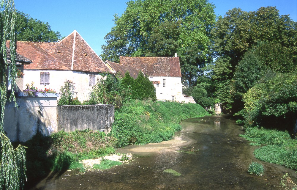
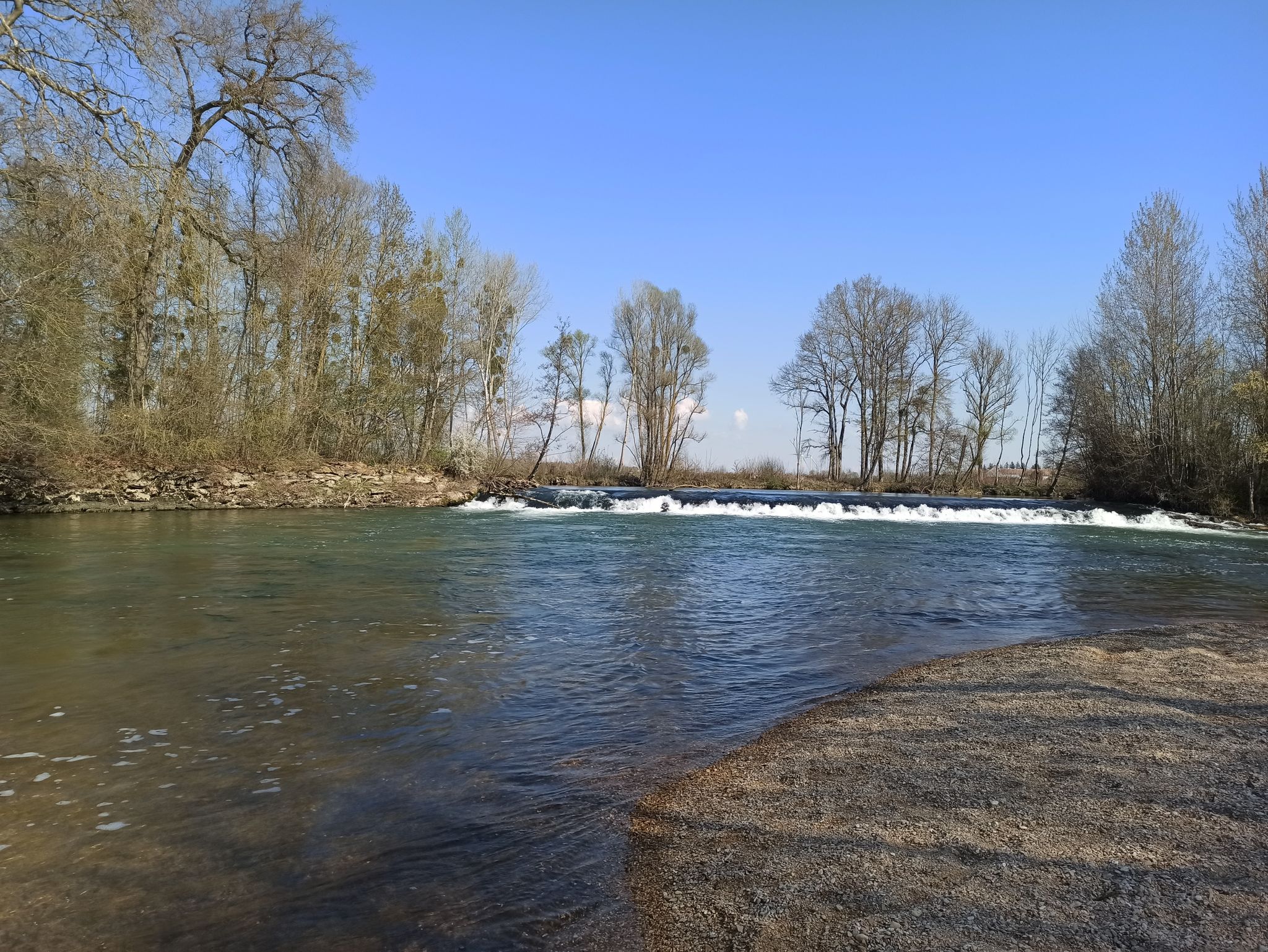
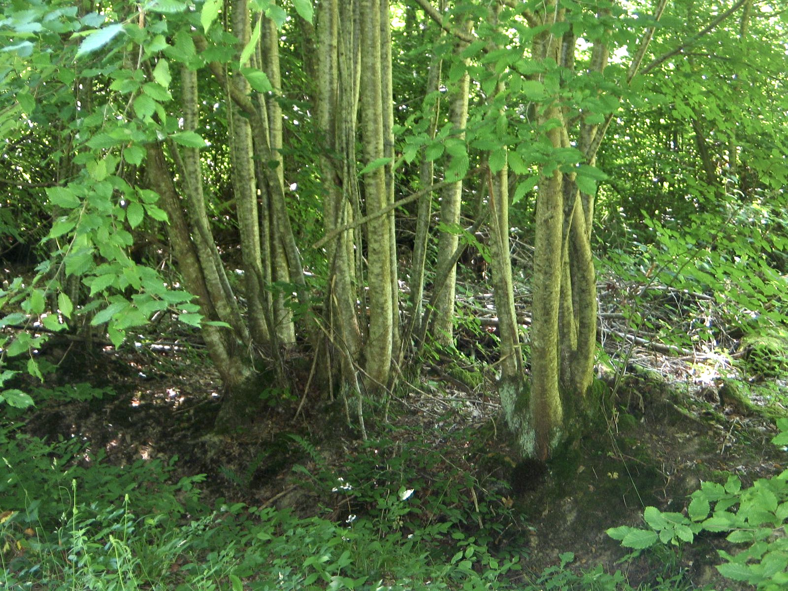
Departing from the Etoile crossroads, loop trail in the Traconne forest taking several forest tracks. The setting is relaxing and the aisles are numerous, making it easy to adjust the duration of the walk.

Already more than 200,000 users!
Uphill
83m
Highest point
219m
Downhill
83m
Lowest point
176m
Route type
Loop
Download the map on your smartphone to save battery and rest assured to always keep access to the route, even without signal.
Includes IGN France and Swisstopo.
I indicate whether dogs are allowed or prohibited on this trail
All year
1 rating
Des chemins, pas dans la forêt, monotone
Also enjoy:

Already more than 200,000 users!