Uphill
190m
Length
7km
Duration
2h30min
Elev gain
190m
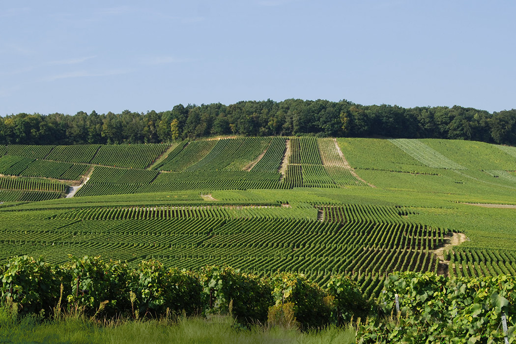
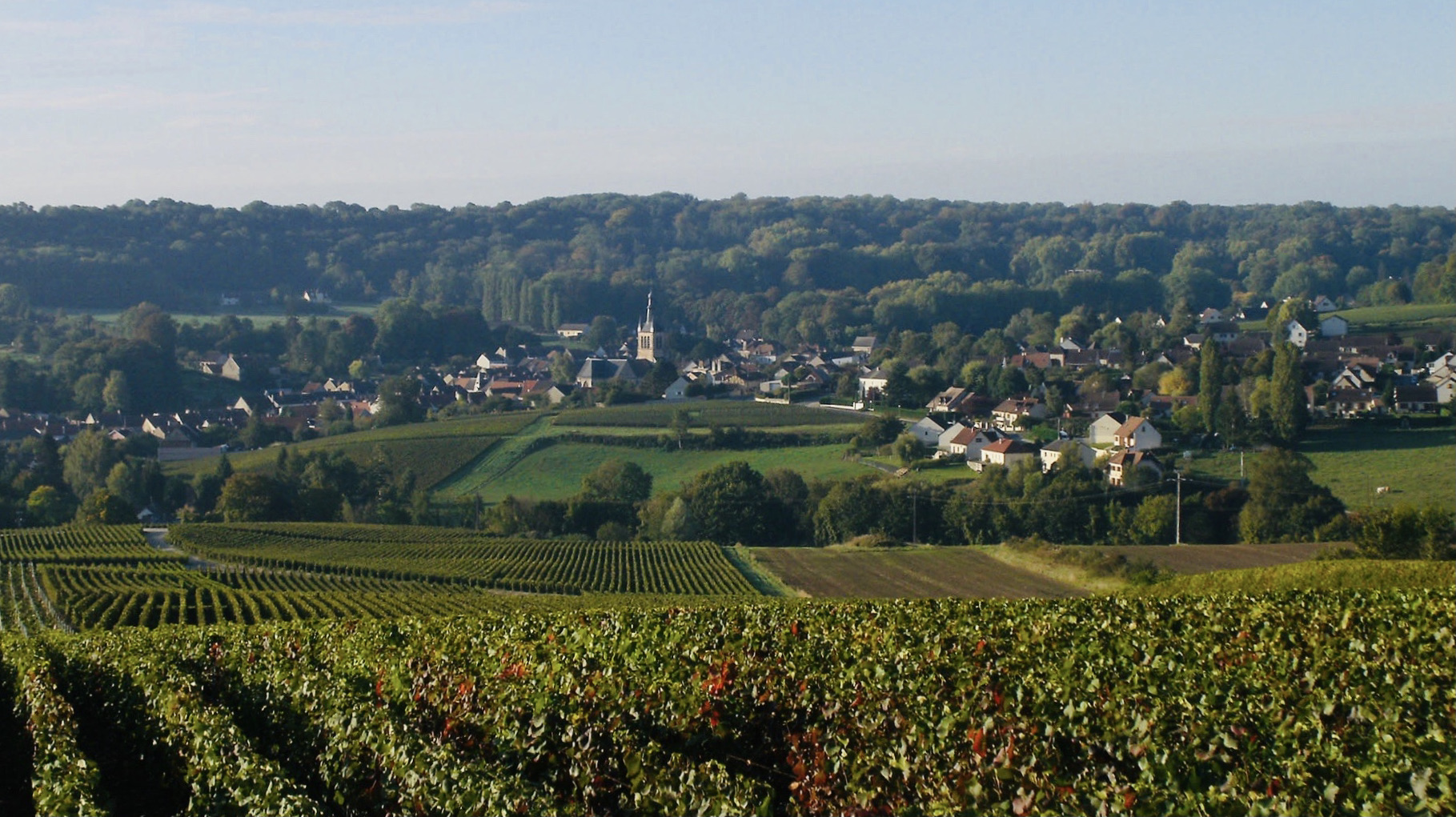
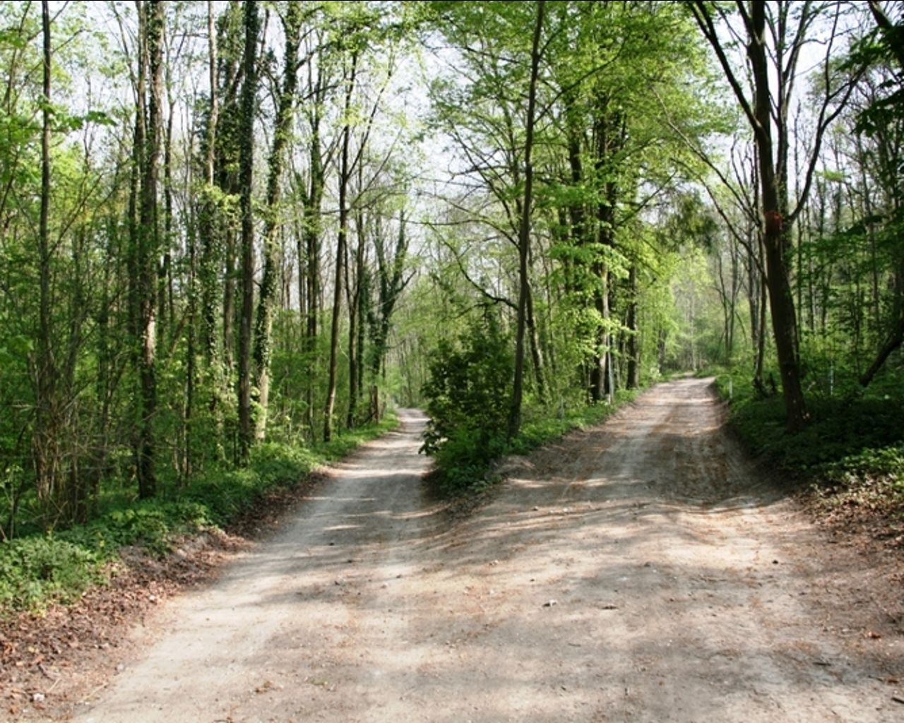
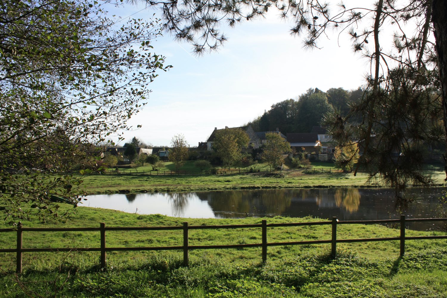
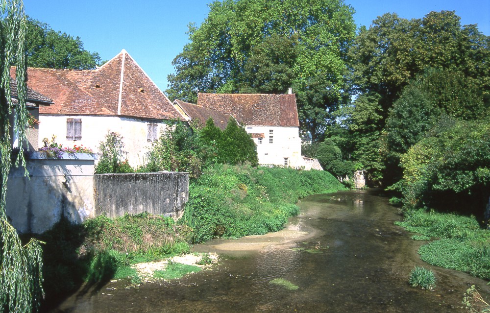
Leaving from Condé-en-Brie, this walk makes a nice loop in the surrounding countryside. Between fields, woods, pastures and meadows, the landscapes are varied and offer a pleasant setting for a short walk.

Already more than 200,000 users!
Uphill
190m
Highest point
219m
Downhill
190m
Lowest point
70m
Route type
Loop
Download the map on your smartphone to save battery and rest assured to always keep access to the route, even without signal.
Includes IGN France and Swisstopo.
I indicate whether dogs are allowed or prohibited on this trail
All year
0 ratings
Also enjoy:

Already more than 200,000 users!