Uphill
245m
Length
13km
Duration
4h
Elev gain
245m
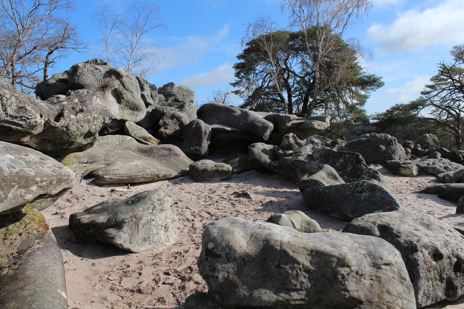
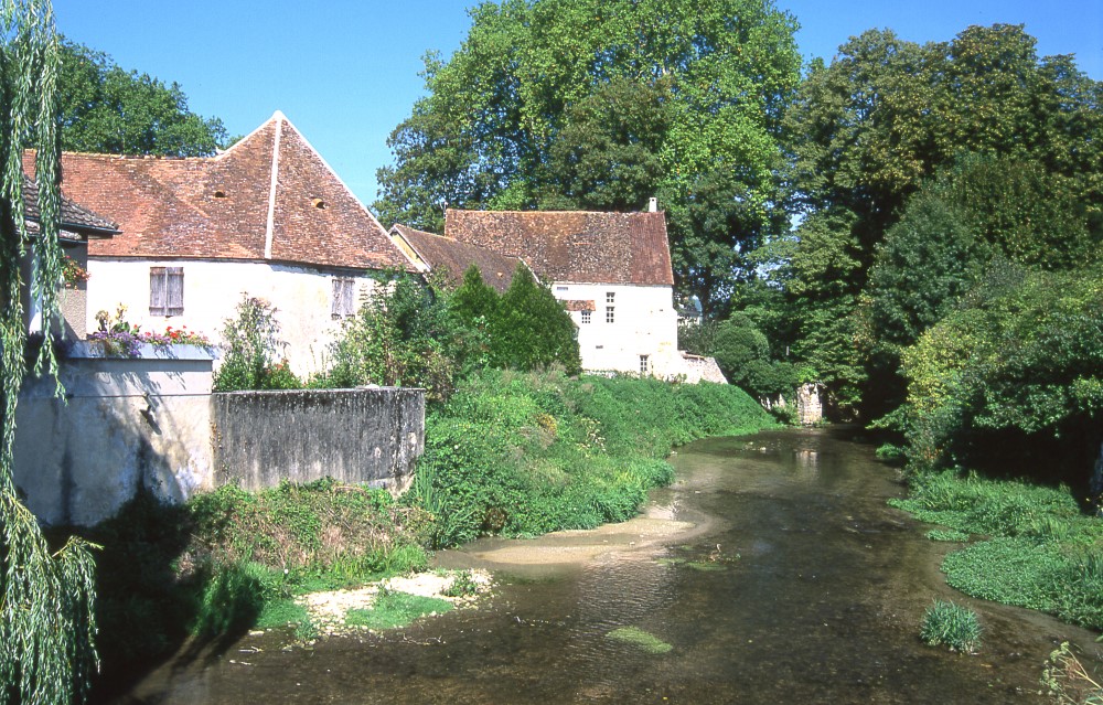
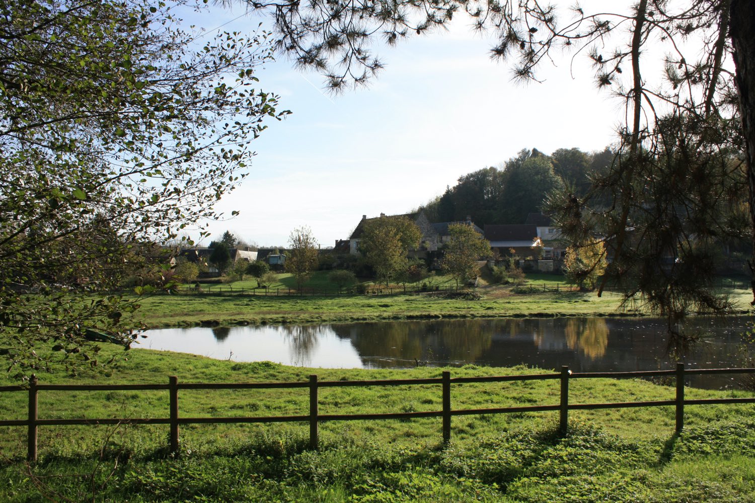
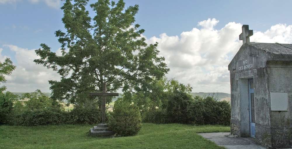
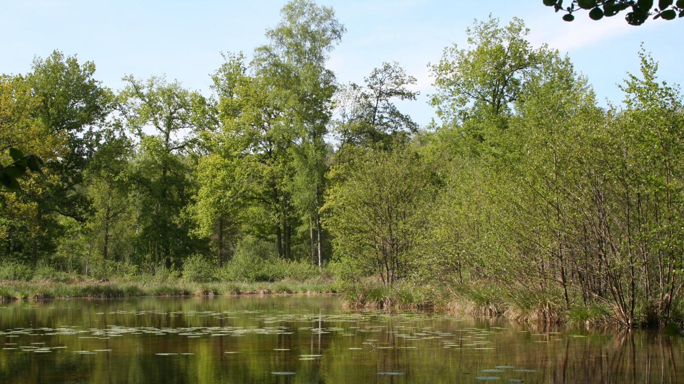
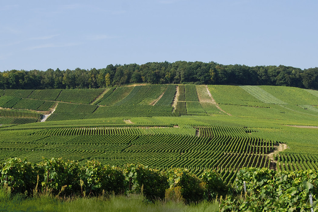
Here is a walk between the municipalities of Brasles and Mont-Saint-Père. The route makes a loop in the middle of the vineyards and takes a little height in certain places, offering a superb view of the Marne and its surroundings.

Already more than 200,000 users!
Uphill
245m
Highest point
226m
Downhill
245m
Lowest point
58m
Route type
Loop
Download the map on your smartphone to save battery and rest assured to always keep access to the route, even without signal.
Includes IGN France and Swisstopo.
1 rating
Also enjoy:

Already more than 200,000 users!