Uphill
100m
Length
5km
Duration
1h30min
Elev gain
100m
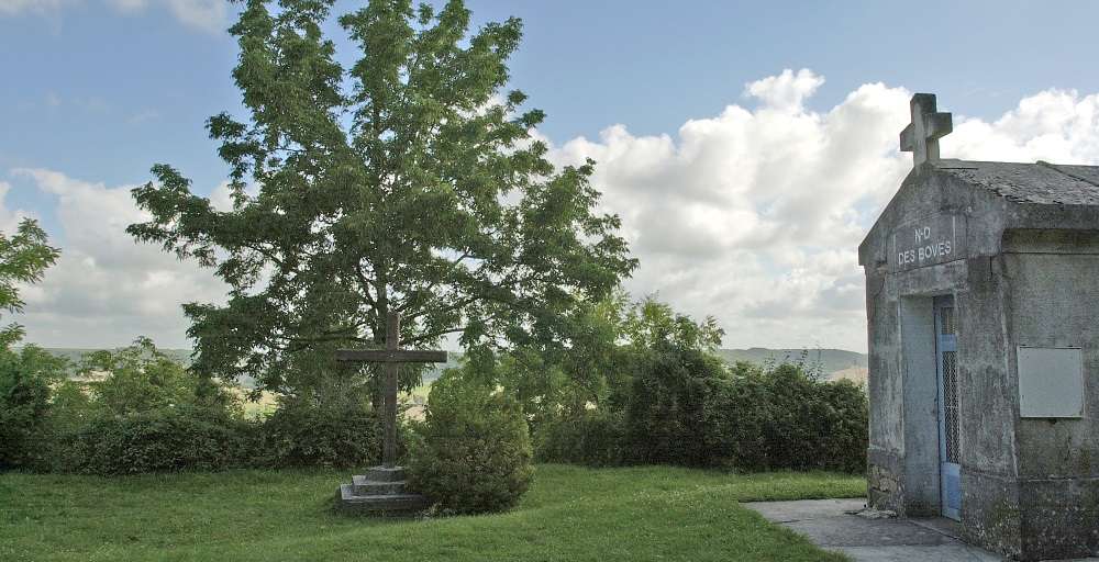
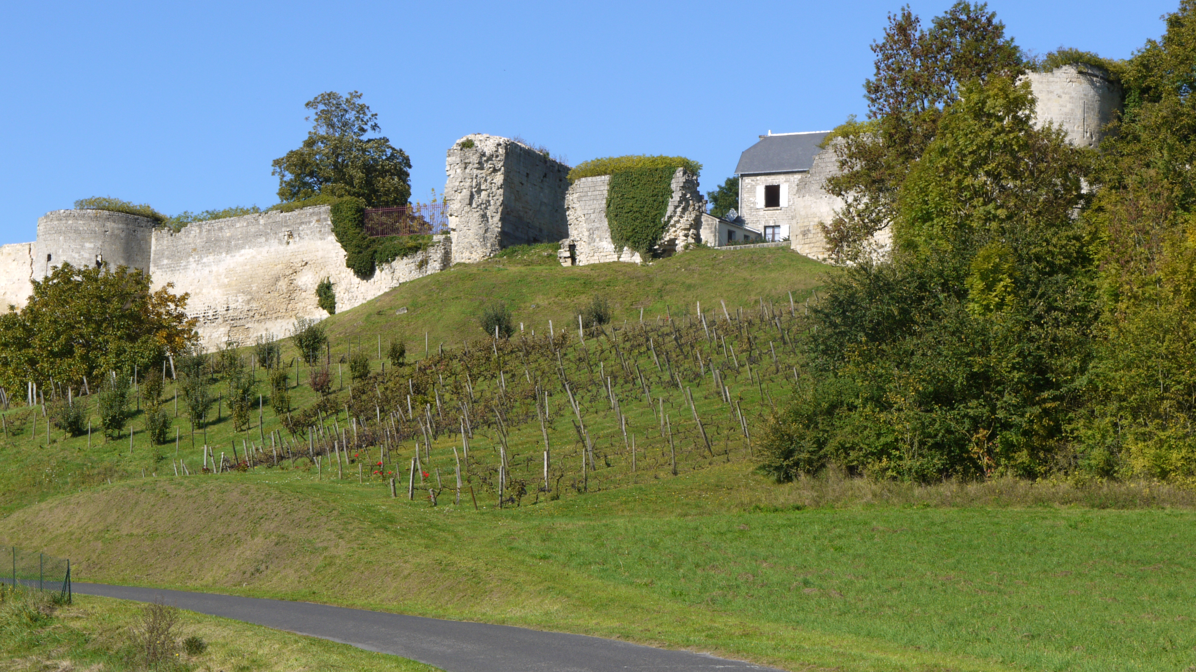
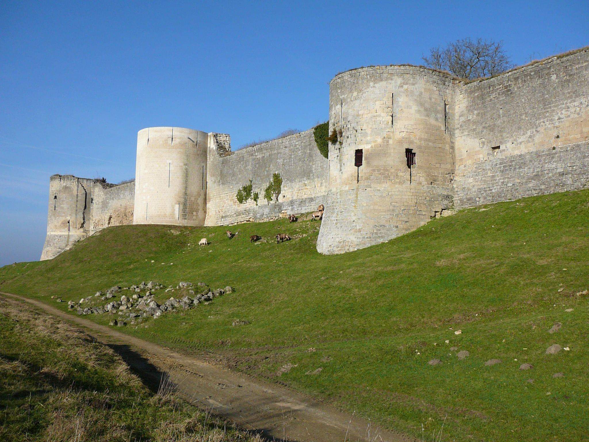
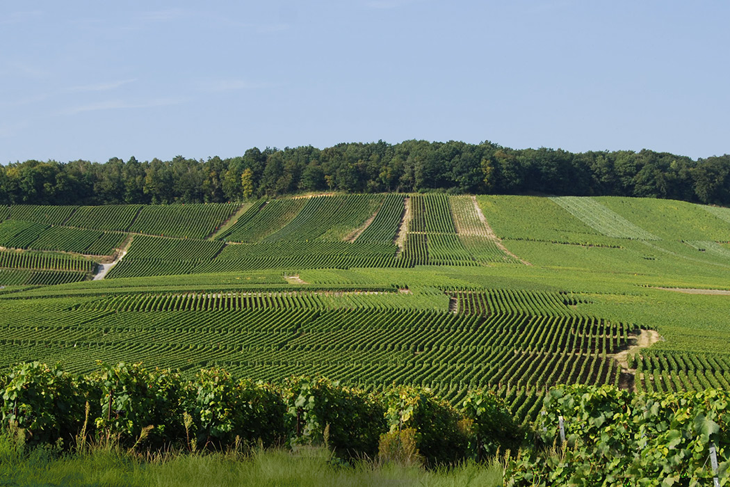
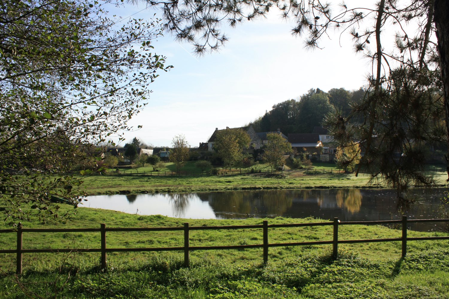
Departing from Nampteuil-sous-Muret, this walk evolves between the limestone hillside and the marshes of Ru de Launoy, one of the two branches of the Crisis. The route is on a well-marked path punctuated with educational panels, and also passes through the village of Muret.

Already more than 200,000 users!
Uphill
100m
Highest point
129m
Downhill
100m
Lowest point
66m
Route type
Loop
Download the map on your smartphone to save battery and rest assured to always keep access to the route, even without signal.
Includes IGN France and Swisstopo.
I indicate whether dogs are allowed or prohibited on this trail
All year
0 ratings
Also enjoy:

Already more than 200,000 users!