Uphill
167m
Length
12km
Duration
3h30min
Elev gain
167m
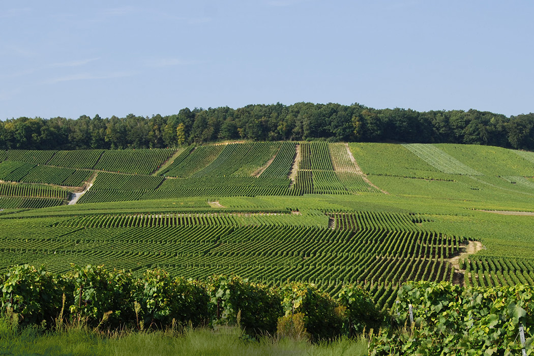
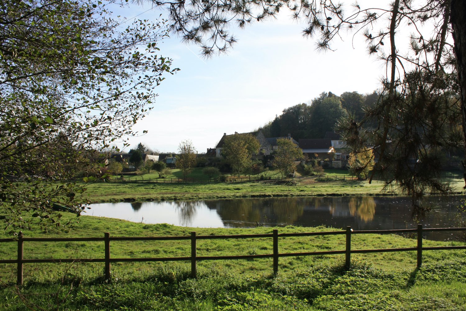
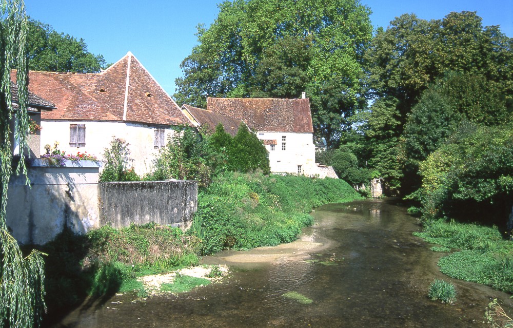
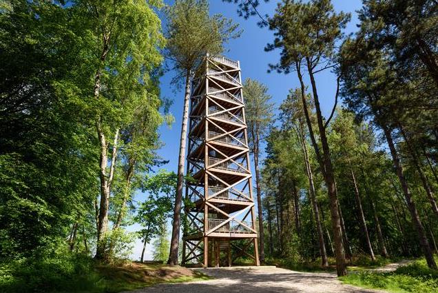
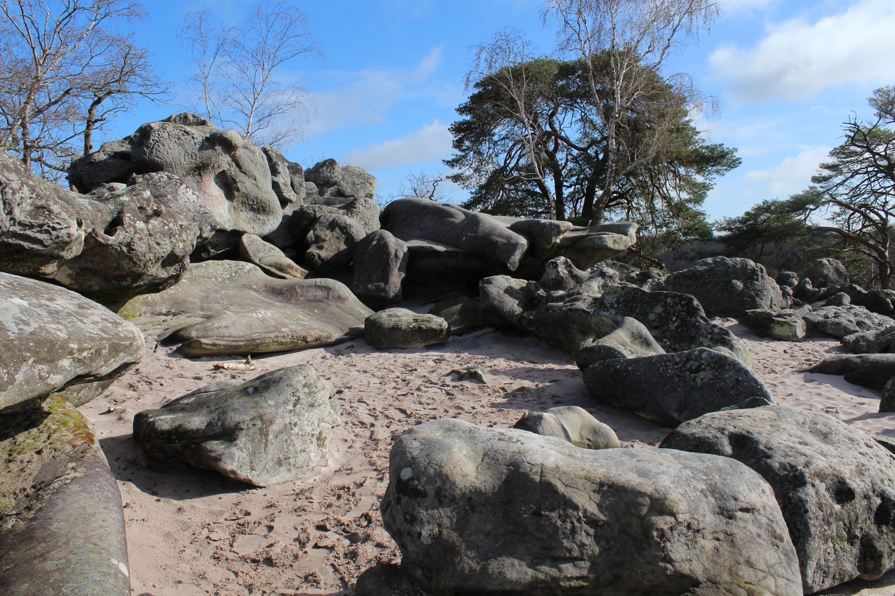
Departing from Coincy, this loop hike crosses fields and forests, passes through Villeneuve-sur-Fère, then joins the Hottée du Diable, a chaos of sandstone. A true vestige of the time when the sea covered the Picardy lands, this place exudes a fascinating atmosphere. The path then takes the direction of the starting point to close this pretty walk.

Already more than 200,000 users!
Uphill
167m
Highest point
211m
Downhill
167m
Lowest point
84m
Route type
Loop
Download the map on your smartphone to save battery and rest assured to always keep access to the route, even without signal.
Includes IGN France and Swisstopo.
I indicate whether dogs are allowed or prohibited on this trail
All year
0 ratings
Also enjoy:

Already more than 200,000 users!