Uphill
84m
Length
5km
Duration
1h30min
Elev gain
84m
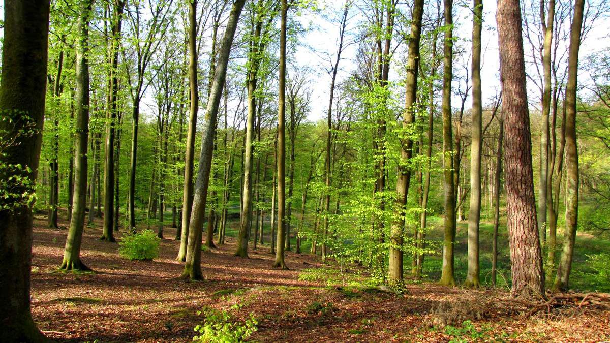
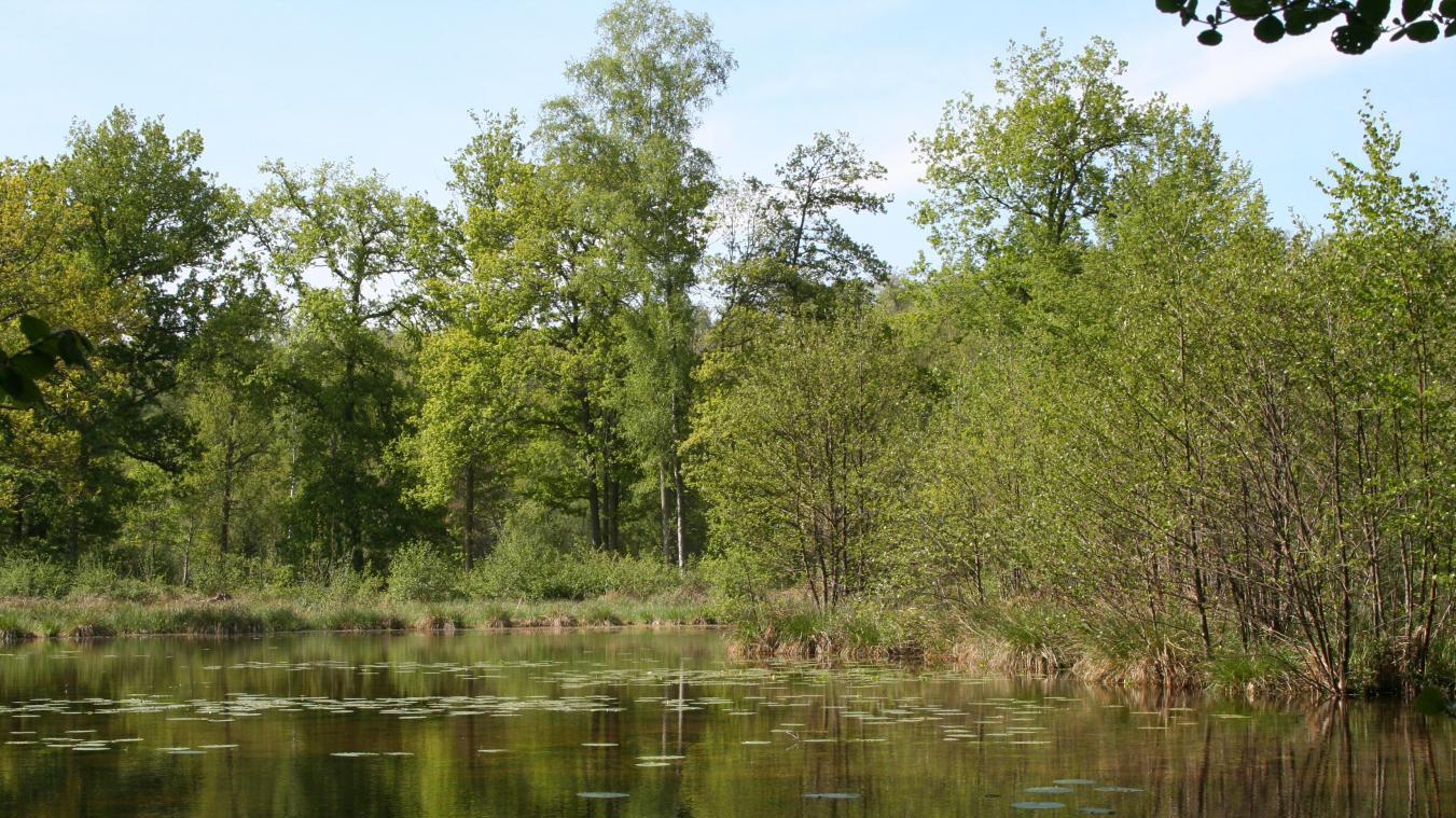
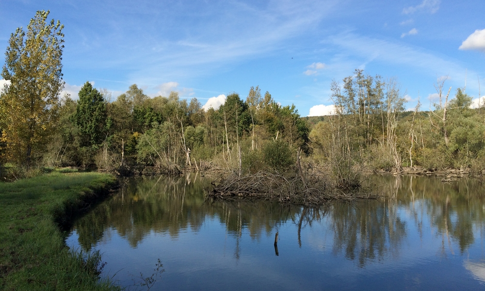
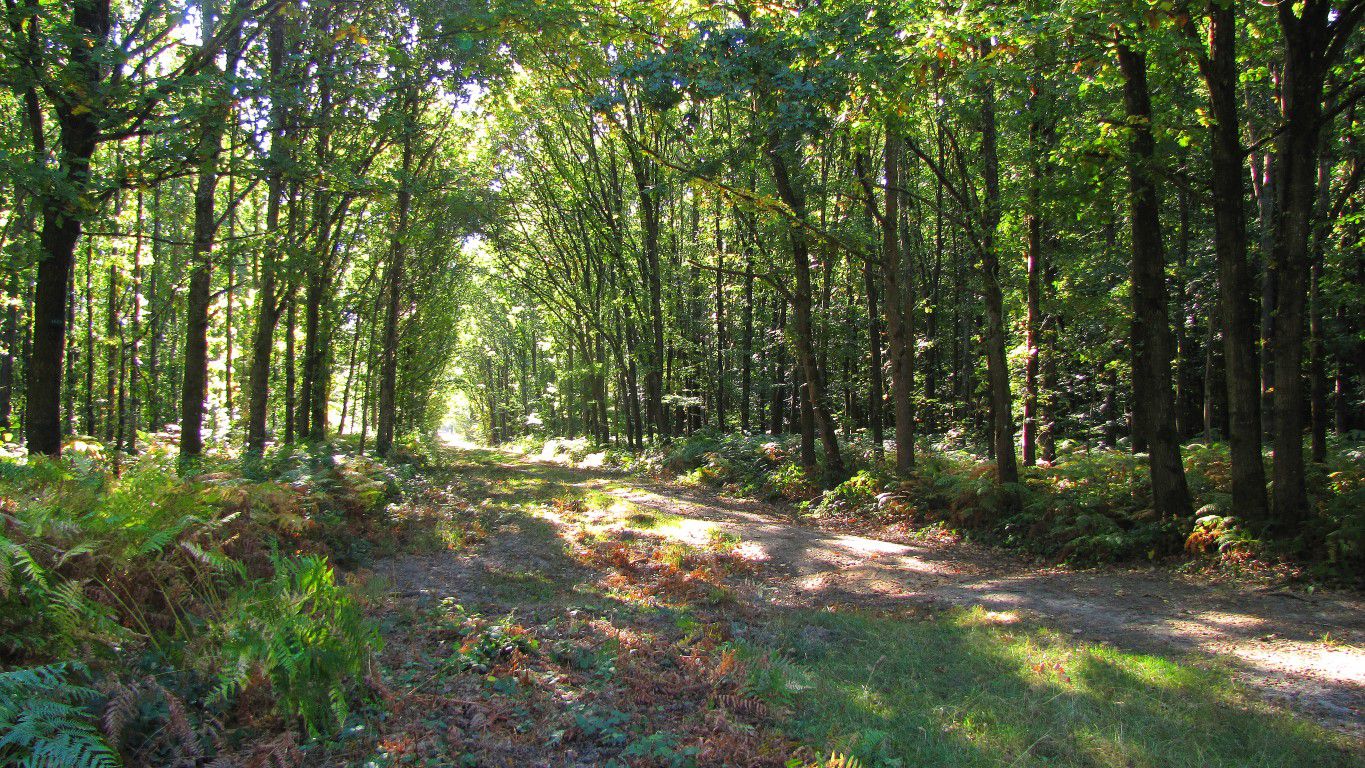
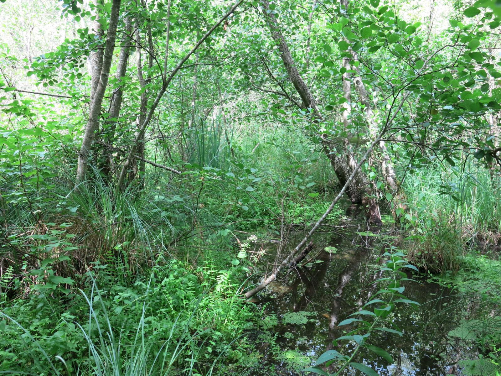
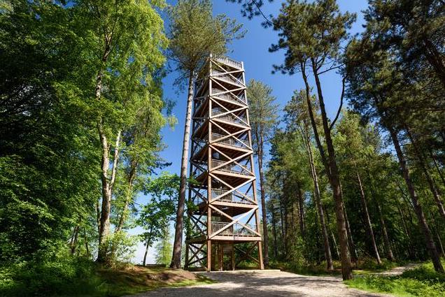
Pretty little walk in the heart of the forest of Retz, a real strategic point during the First World War. The route makes a loop and passes by the site of the former observation tower of General Mangin, which was about 30 meters high. This tower was once used to monitor enemy attacks. Today, a new construction has been erected.

Already more than 200,000 users!
Uphill
84m
Highest point
236m
Downhill
84m
Lowest point
173m
Route type
Loop
Download the map on your smartphone to save battery and rest assured to always keep access to the route, even without signal.
Includes IGN France and Swisstopo.
I indicate whether dogs are allowed or prohibited on this trail
All year
0 ratings
Also enjoy:

Already more than 200,000 users!