Uphill
99m
Length
10km
Duration
3h
Elev gain
99m
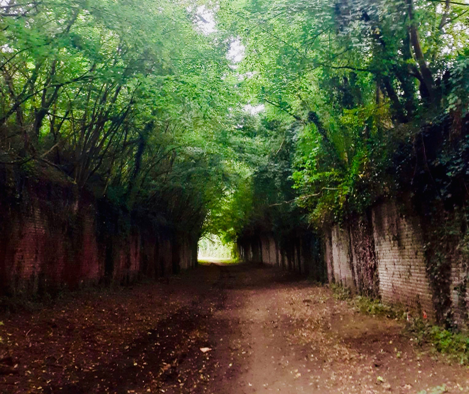
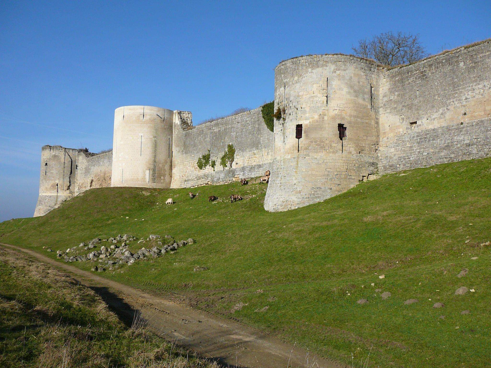
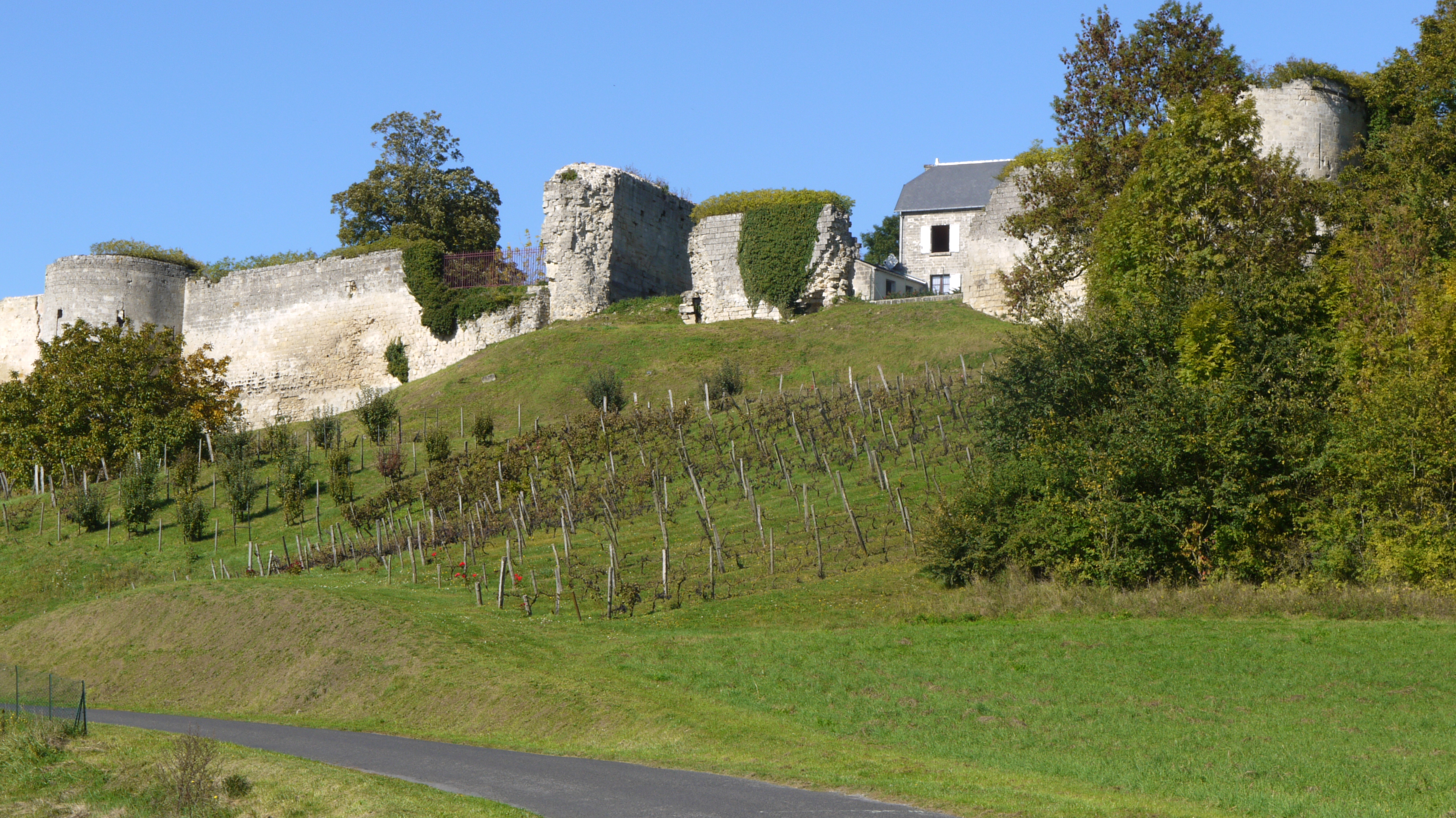
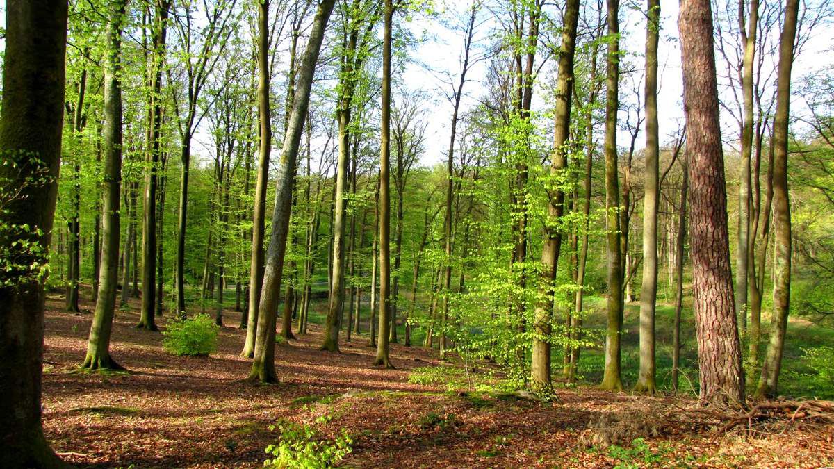
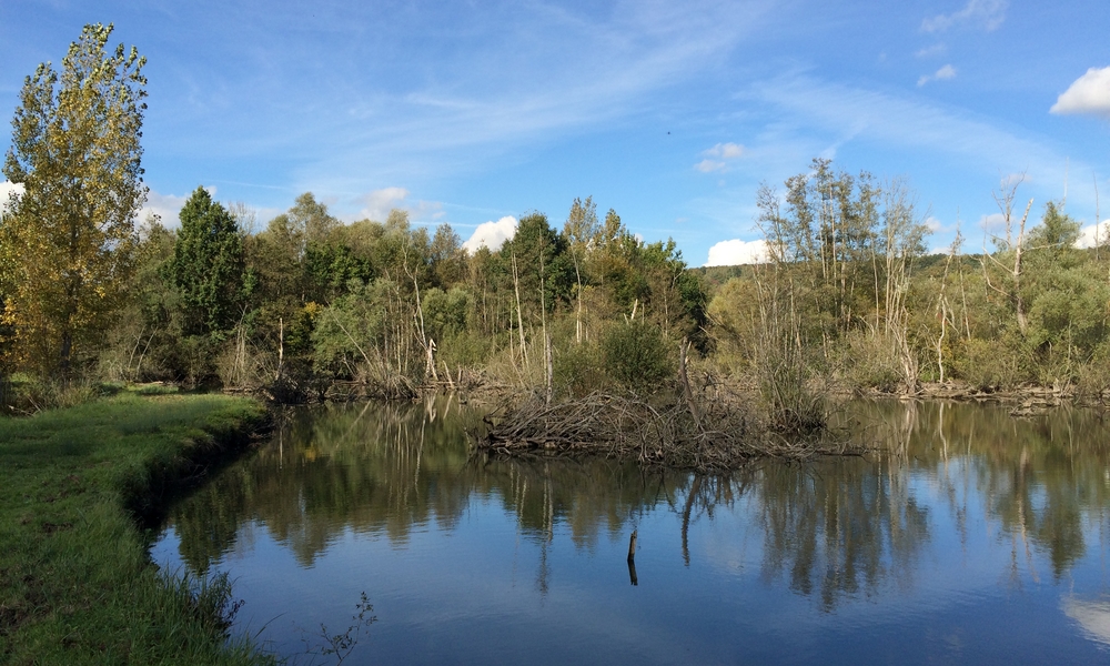
Leaving from Fontenoy, this walk climbs up to the hillside overlooking the village. The path also runs along a river then a series of ponds before returning to the starting point, the village with two castles.

Already more than 200,000 users!
Uphill
99m
Highest point
135m
Downhill
99m
Lowest point
28m
Route type
Loop
Download the map on your smartphone to save battery and rest assured to always keep access to the route, even without signal.
Includes IGN France and Swisstopo.
I indicate whether dogs are allowed or prohibited on this trail
All year
0 ratings
Also enjoy:

Already more than 200,000 users!