Uphill
117m
Length
8km
Duration
2h30min
Elev gain
117m
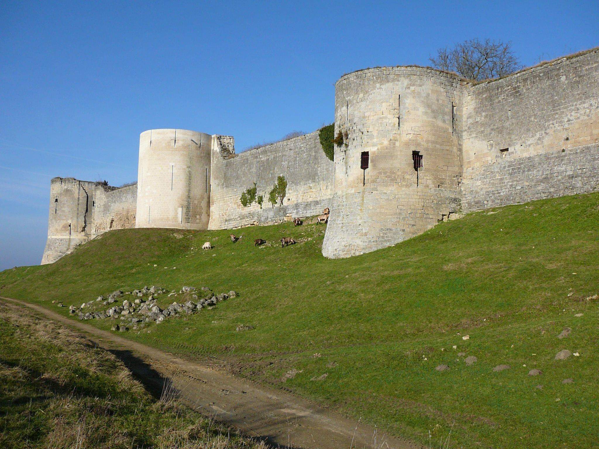
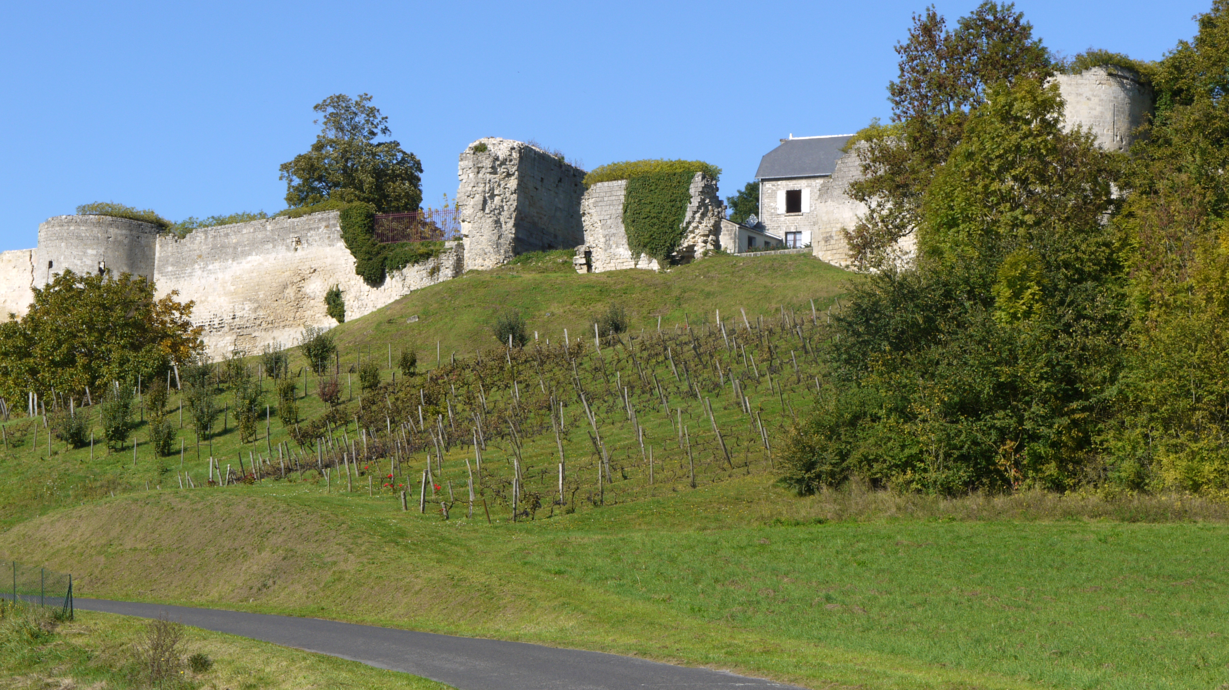
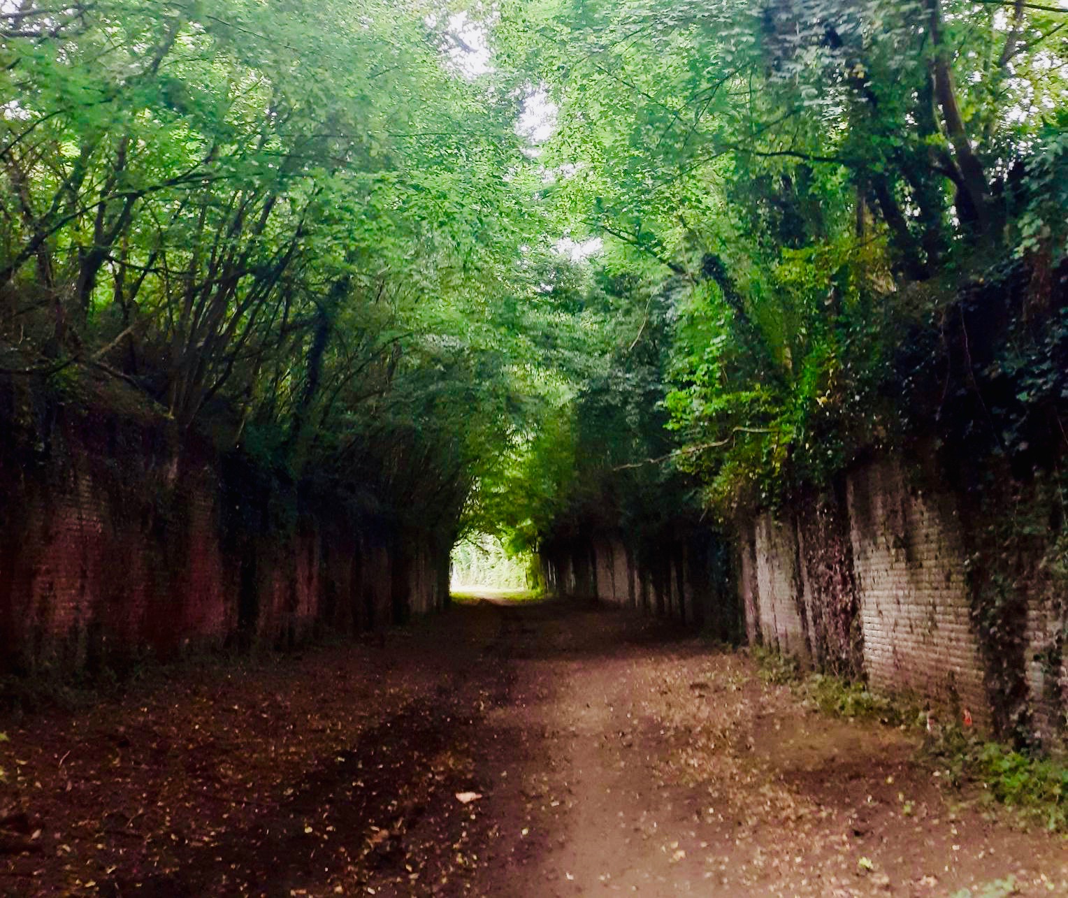
Nice walk between Folembray and Bernagousse. The route makes a loop in the heart of a very dense forest, where there are also old tunnels used during World War 1.

Already more than 200,000 users!
Uphill
117m
Highest point
168m
Downhill
117m
Lowest point
70m
Route type
Loop
Download the map on your smartphone to save battery and rest assured to always keep access to the route, even without signal.
Includes IGN France and Swisstopo.
I indicate whether dogs are allowed or prohibited on this trail
All year
2 ratings
Also enjoy:

Already more than 200,000 users!