Uphill
180m
Length
10km
Duration
3h
Elev gain
180m
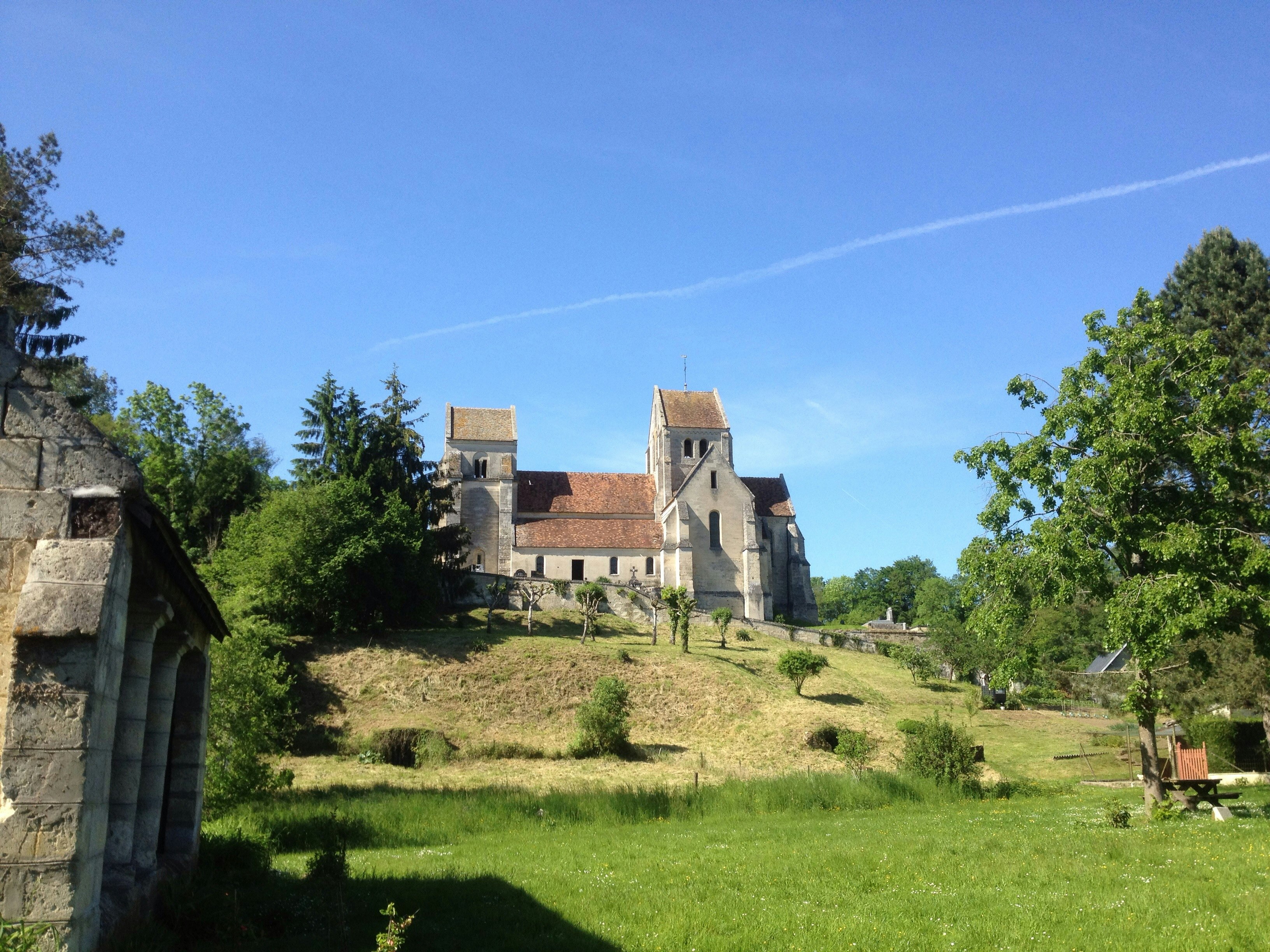
Pretty hike around the town of Septvaux, which owes its name to the seven valleys that surround it as well as the seven gables of its remarkable church. Between the ponds and the viewpoints over the Château de Coucy, this route is not lacking in charm.

Already more than 200,000 users!
Uphill
180m
Highest point
208m
Downhill
180m
Lowest point
93m
Route type
Loop
Download the map on your smartphone to save battery and rest assured to always keep access to the route, even without signal.
Includes IGN France and Swisstopo.
I indicate whether dogs are allowed or prohibited on this trail
All year
0 ratings
Also enjoy:

Already more than 200,000 users!


