Uphill
339m
Length
14km
Duration
4h30min
Elev gain
339m
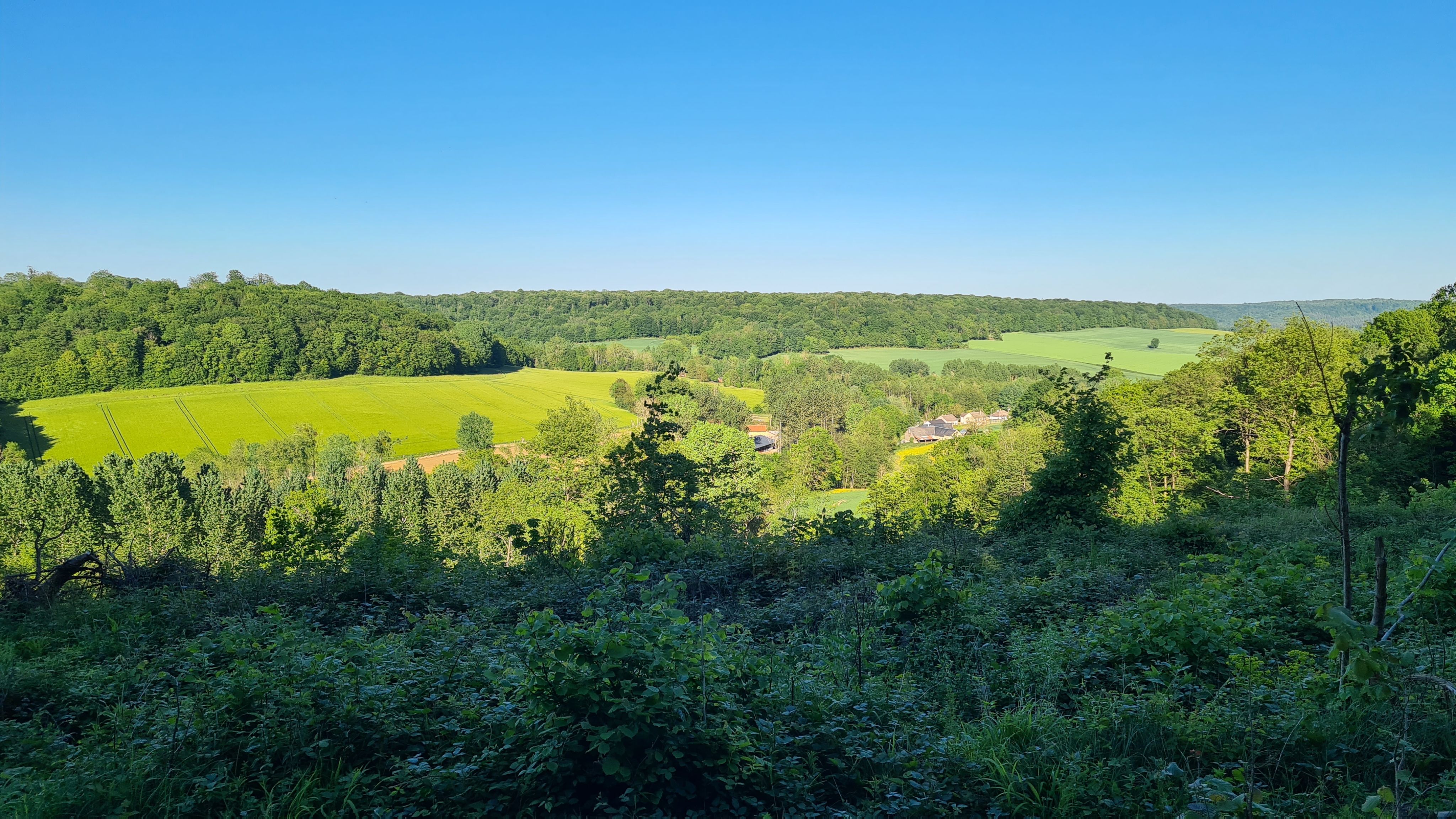
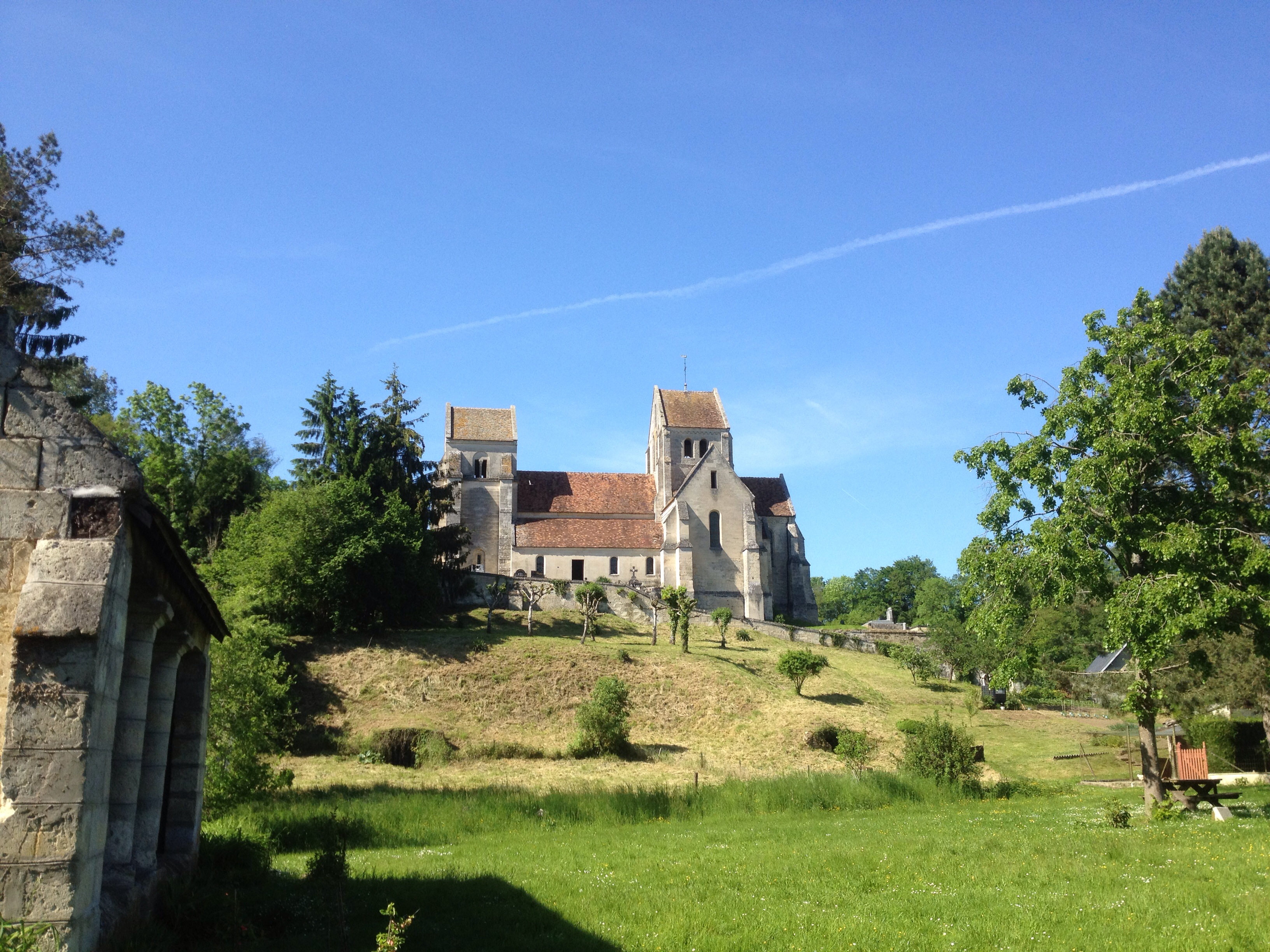
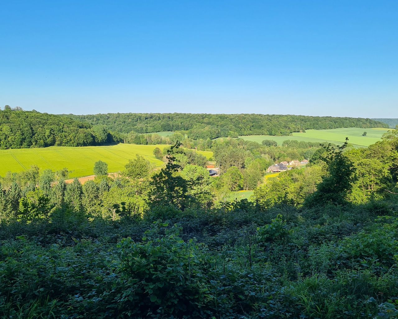
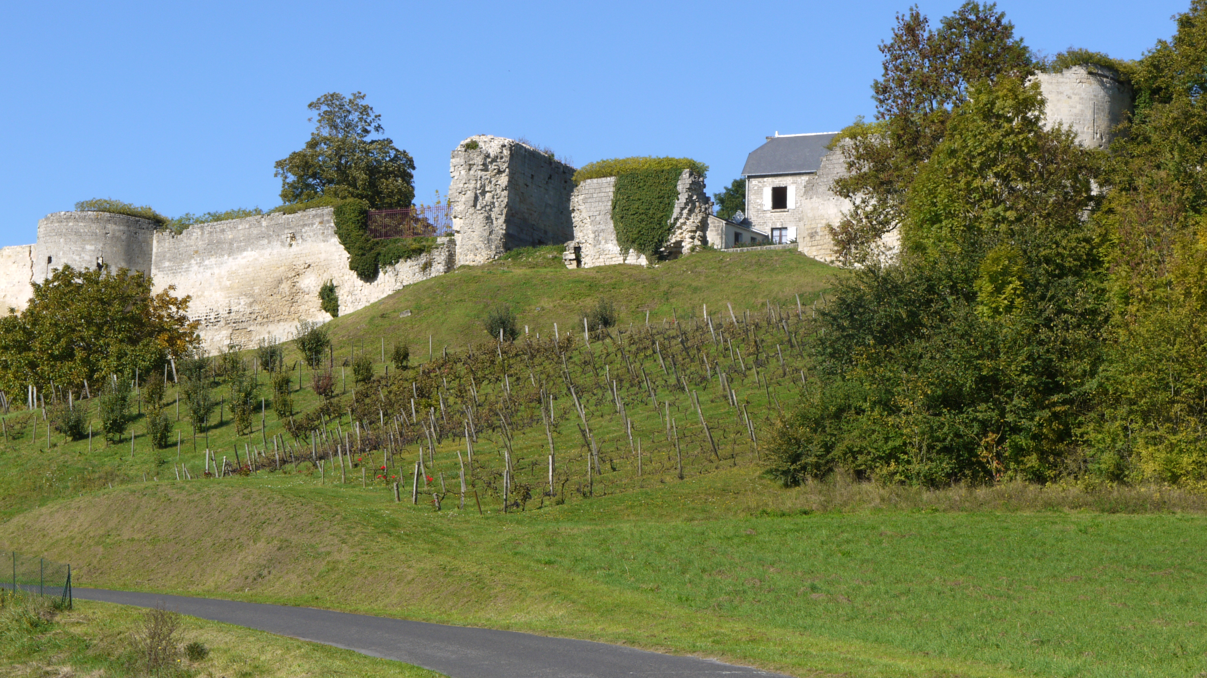
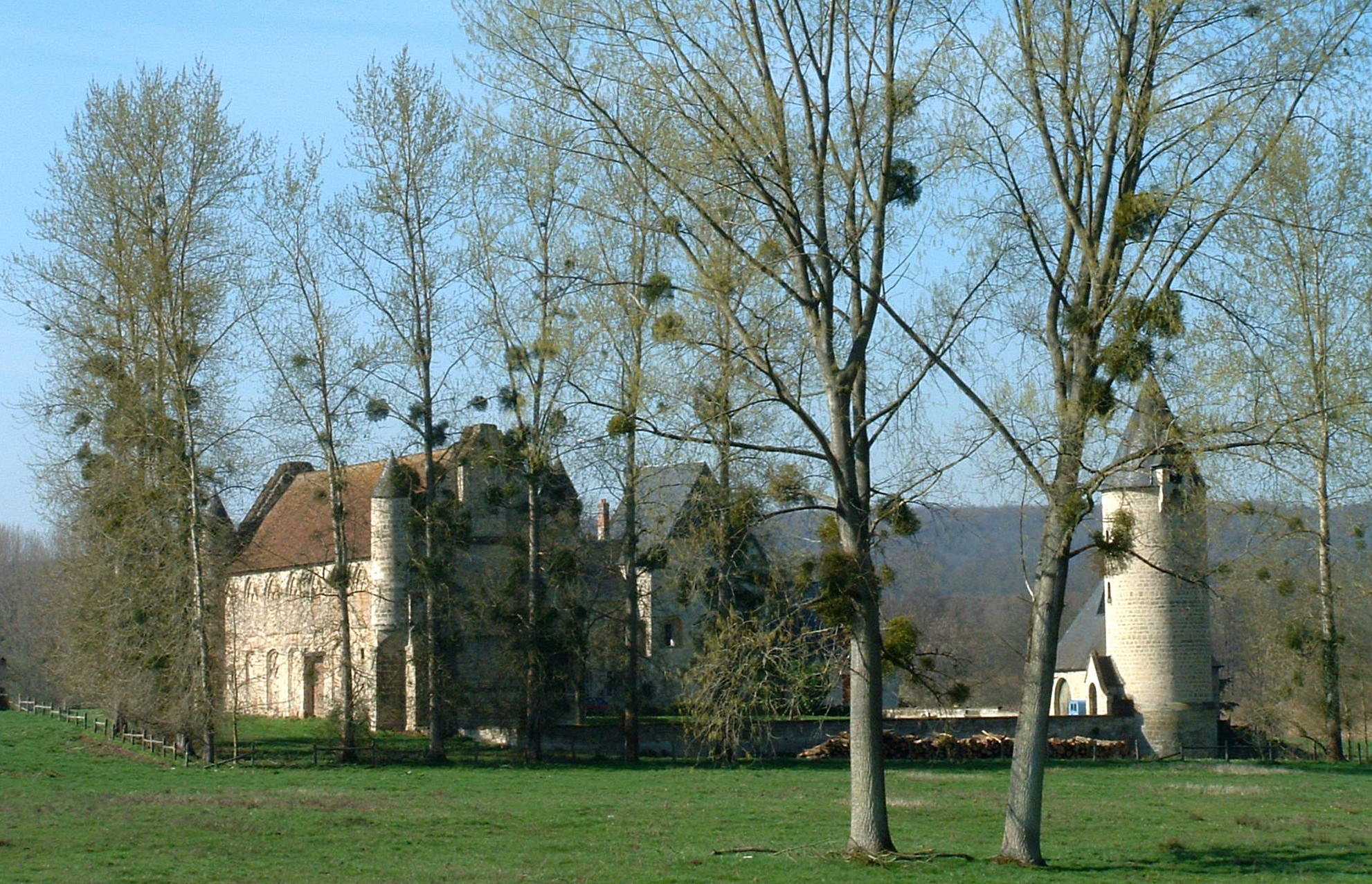
Superb walk around Saint-Nicolas-aux-Bois. The route alternates between beautiful forest paths and paved paths, and passes through the remains of almost thousand-year-old holy places.

Already more than 200,000 users!
Uphill
339m
Highest point
203m
Downhill
339m
Lowest point
77m
Route type
Loop
Download the map on your smartphone to save battery and rest assured to always keep access to the route, even without signal.
Includes IGN France and Swisstopo.
I indicate whether dogs are allowed or prohibited on this trail
All year
0 ratings
Also enjoy:

Already more than 200,000 users!