Uphill
265m

Length
10km
Duration
3h
Elev gain
265m
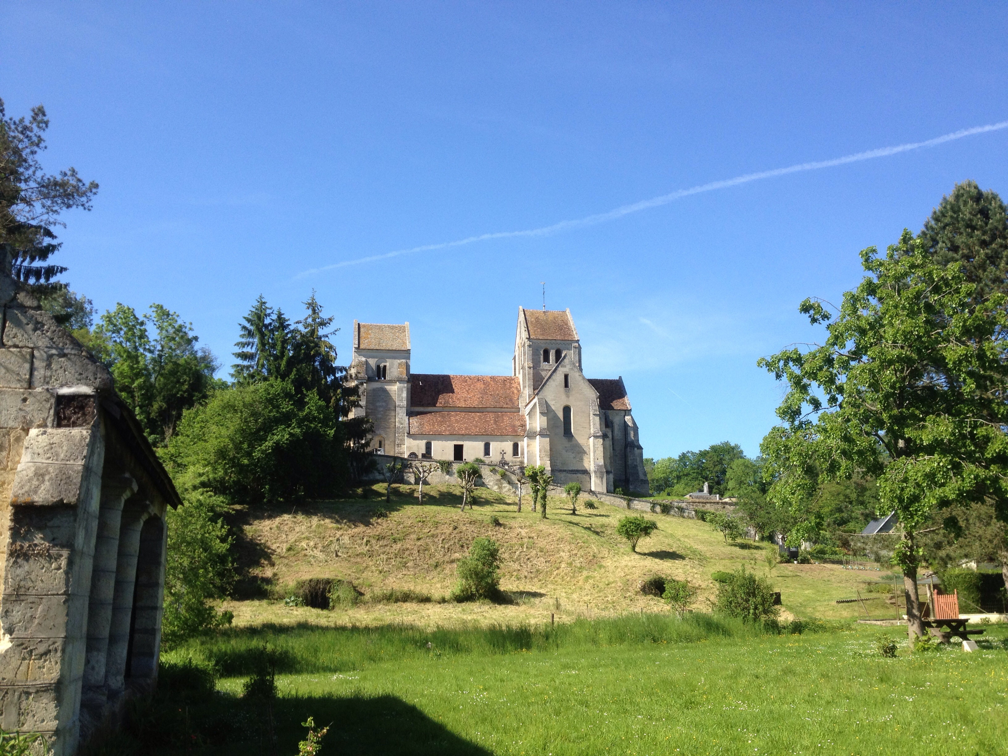
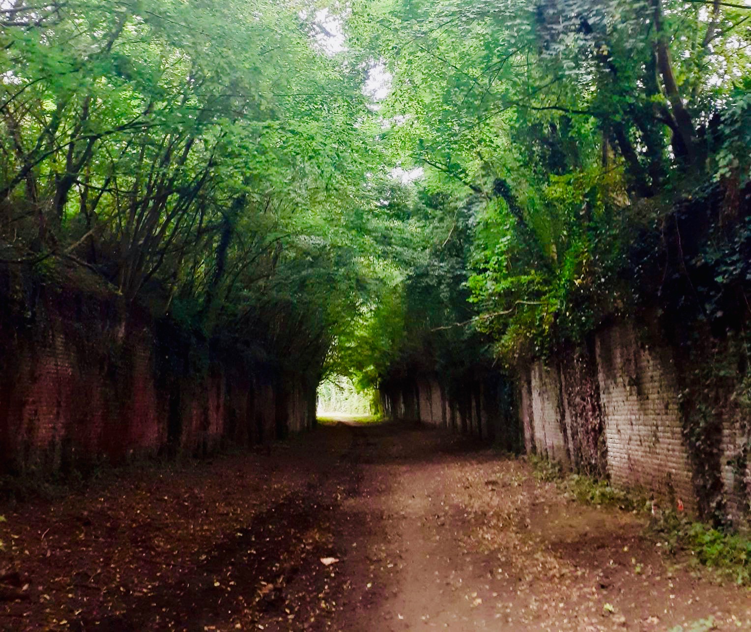
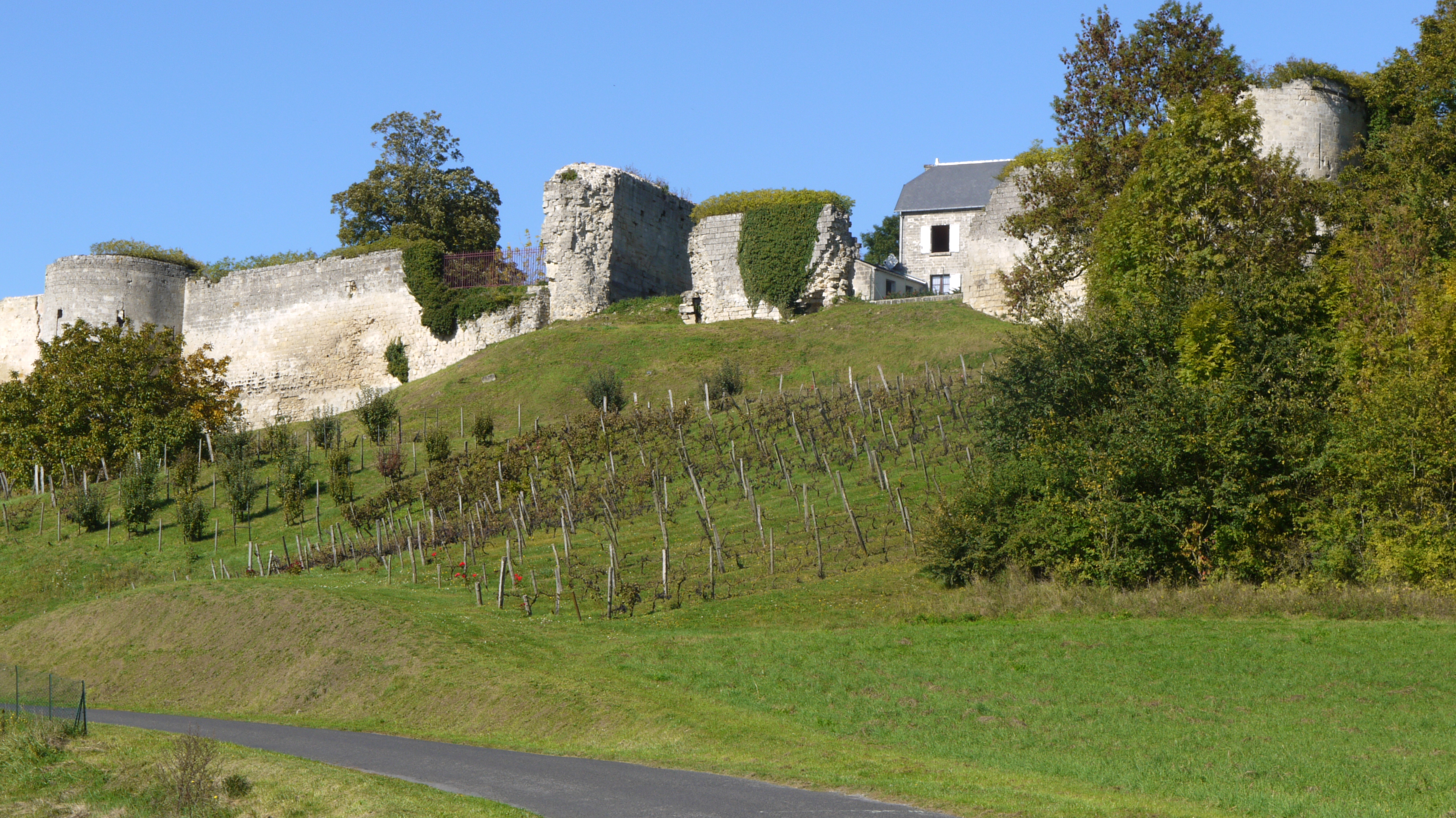
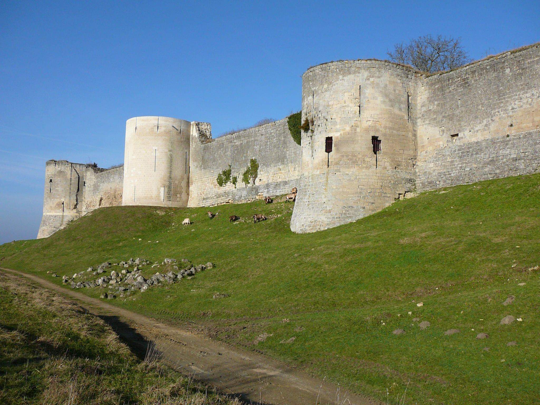
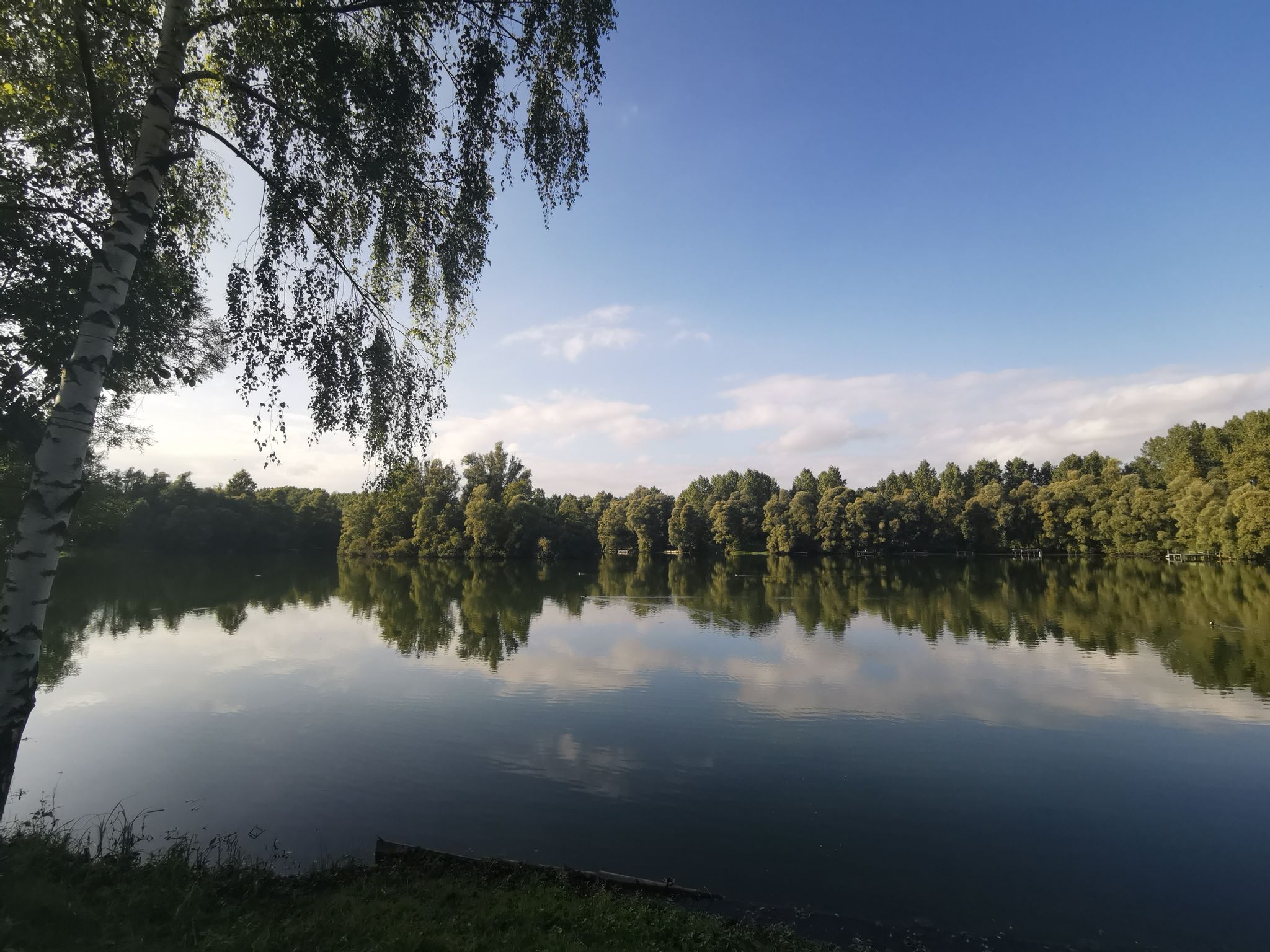
Pretty hike around the village of Barisis, a strategic place during the First World War. The route tells the chronology of a village in time of war and shows how the soldiers adapted to its particular geography.
In summary, a beautiful walk in a place marked by history.

Already more than 200,000 users!
Uphill
265m
Highest point
162m
Downhill
265m
Lowest point
63m
Route type
Loop
Download the map on your smartphone to save battery and rest assured to always keep access to the route, even without signal.
Includes IGN France and Swisstopo.
I indicate whether dogs are allowed or prohibited on this trail
All year
1 rating
Also enjoy:

Already more than 200,000 users!